Estimated Value: $371,000 - $454,000
4
Beds
7
Baths
2,666
Sq Ft
$151/Sq Ft
Est. Value
About This Home
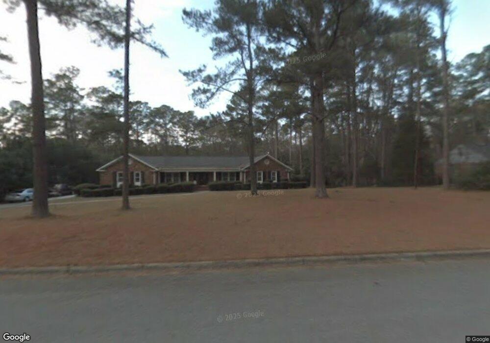
This home is located at 8138 Sir Lancelot Ct, Evans, GA 30809 and is currently estimated at $403,886, approximately $151 per square foot. 8138 Sir Lancelot Ct is a home located in Columbia County with nearby schools including Evans Elementary School, John F. Kennedy Middle School, and Evans Middle School.
Ownership History
Date
Name
Owned For
Owner Type
Purchase Details
Closed on
May 21, 2024
Sold by
Schroeder James
Bought by
Schroeder James and Schroeder Sharon
Current Estimated Value
Purchase Details
Closed on
May 25, 2004
Sold by
Durden Kenny W
Bought by
Schroeder James and Schroeder Sharon
Home Financials for this Owner
Home Financials are based on the most recent Mortgage that was taken out on this home.
Original Mortgage
$188,000
Interest Rate
5.89%
Mortgage Type
Purchase Money Mortgage
Create a Home Valuation Report for This Property
The Home Valuation Report is an in-depth analysis detailing your home's value as well as a comparison with similar homes in the area
Home Values in the Area
Average Home Value in this Area
Purchase History
| Date | Buyer | Sale Price | Title Company |
|---|---|---|---|
| Schroeder James | -- | -- | |
| Schroeder James | $235,000 | -- |
Source: Public Records
Mortgage History
| Date | Status | Borrower | Loan Amount |
|---|---|---|---|
| Previous Owner | Schroeder James | $188,000 | |
| Closed | Schroeder James | $23,500 |
Source: Public Records
Tax History Compared to Growth
Tax History
| Year | Tax Paid | Tax Assessment Tax Assessment Total Assessment is a certain percentage of the fair market value that is determined by local assessors to be the total taxable value of land and additions on the property. | Land | Improvement |
|---|---|---|---|---|
| 2025 | $1,327 | $168,491 | $29,964 | $138,527 |
| 2024 | $1,419 | $174,538 | $33,204 | $141,334 |
| 2023 | $1,419 | $148,996 | $24,004 | $124,992 |
| 2022 | $1,097 | $122,145 | $22,004 | $100,141 |
| 2021 | $3,011 | $110,542 | $17,704 | $92,838 |
| 2020 | $2,954 | $106,236 | $21,604 | $84,632 |
| 2019 | $2,915 | $104,816 | $21,604 | $83,212 |
| 2018 | $2,560 | $91,712 | $16,004 | $75,708 |
| 2017 | $2,445 | $87,270 | $16,004 | $71,266 |
| 2016 | $2,381 | $88,148 | $15,980 | $72,168 |
| 2015 | $2,569 | $94,966 | $19,580 | $75,386 |
| 2014 | $2,669 | $97,468 | $19,580 | $77,888 |
Source: Public Records
Map
Nearby Homes
- 4421 Hereford Farm Rd
- 525 Pheasant Run Dr
- 464 Rachel Dr
- 4560 Mulberry Creek Dr
- 489 Connemara Trail
- 4586 Oxford Ct
- 854 Sparkleberry Rd
- 00 N Belair Rd
- 4597 Gray Ln
- 4569 Gray Ln
- 2975 Rosewood Dr
- 726 Whitney Shoals Rd
- 586 Gibbs Rd
- 4648 Leeward Dr
- 4489 Woodberry Ct
- 829 Woodberry Dr
- 4670 La Pointe
- 322 Sandhills Ln
- 4664 La Pointe
- 599 Windward Ct
- 8137 Sir Lancelot Ct
- 8134 Sir Lancelot Ct
- 8117 Sir Galahad Dr
- 8139 Sir Lancelot Ct
- 8113 Sir Galahad Dr
- 8115 Sir Galahad Dr
- 8142 Sir Lancelot Ct
- 8133 Sir Lancelot Ct
- 8119 Sir Galahad Dr
- 8144 Sir Lancelot Ct
- 8111 Sir Galahad Dr
- 8132 Sir Lancelot Ct
- 8141 Sir Lancelot Ct
- 8146 Sir Lancelot Ct
- 8131 Sir Lancelot Ct
- 8114 Sir Galahad Dr
- 8116 Sir Galahad Dr
- 8109 Sir Galahad Dr
- 8112 Sir Galahad Dr
- 481 Pheasant Run Dr