814 143rd Ave Wayland, MI 49348
Estimated Value: $382,159 - $547,000
--
Bed
2
Baths
2,220
Sq Ft
$212/Sq Ft
Est. Value
About This Home
This home is located at 814 143rd Ave, Wayland, MI 49348 and is currently estimated at $470,720, approximately $212 per square foot. 814 143rd Ave is a home located in Allegan County with nearby schools including Wayland High School.
Ownership History
Date
Name
Owned For
Owner Type
Purchase Details
Closed on
Jul 3, 2025
Sold by
Gunnink Roger D and Gunnink Cheryl K
Bought by
Gunnink Protection Trust and Gunnink
Current Estimated Value
Create a Home Valuation Report for This Property
The Home Valuation Report is an in-depth analysis detailing your home's value as well as a comparison with similar homes in the area
Home Values in the Area
Average Home Value in this Area
Purchase History
| Date | Buyer | Sale Price | Title Company |
|---|---|---|---|
| Gunnink Protection Trust | -- | None Listed On Document | |
| Gunnink Protection Trust | -- | None Listed On Document | |
| Gunnink Protection Trust | -- | None Listed On Document | |
| Gunnink Protection Trust | -- | None Listed On Document |
Source: Public Records
Tax History Compared to Growth
Tax History
| Year | Tax Paid | Tax Assessment Tax Assessment Total Assessment is a certain percentage of the fair market value that is determined by local assessors to be the total taxable value of land and additions on the property. | Land | Improvement |
|---|---|---|---|---|
| 2025 | $3,009 | $169,600 | $32,100 | $137,500 |
| 2024 | $2,761 | $165,700 | $29,900 | $135,800 |
| 2023 | $2,761 | $148,400 | $29,900 | $118,500 |
| 2022 | $2,761 | $133,800 | $29,900 | $103,900 |
| 2021 | $2,553 | $127,100 | $30,400 | $96,700 |
| 2020 | $2,527 | $122,600 | $30,400 | $92,200 |
| 2019 | $2,453 | $112,000 | $29,100 | $82,900 |
| 2018 | $2,363 | $108,200 | $29,100 | $79,100 |
| 2017 | $0 | $103,200 | $29,100 | $74,100 |
| 2016 | $0 | $85,600 | $29,100 | $56,500 |
| 2015 | -- | $85,600 | $29,100 | $56,500 |
| 2014 | -- | $77,700 | $26,100 | $51,600 |
| 2013 | $2,115 | $74,300 | $26,100 | $48,200 |
Source: Public Records
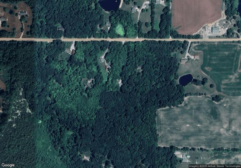
Map
Nearby Homes
- 1376 142nd Ave
- 4249 Butternut Dr
- 4245 Butternut Dr
- 4243 Butternut Dr
- Lot 142 Butternut Dr
- Lot 141 Butternut Dr
- 4274 Butternut Dr
- 4240 Butternut Dr
- Vienna Plan at Harvest Meadows
- Charlotte Plan at Harvest Meadows
- Sierra Plan at Harvest Meadows
- Karolynn Plan at Harvest Meadows
- Reno Plan at Harvest Meadows
- Bayberry Plan at Harvest Meadows
- Freedom Plan at Harvest Meadows
- London Plan at Harvest Meadows
- Hampton Plan at Harvest Meadows
- Oxford Plan at Harvest Meadows
- Unit 111 Highpoint Dr
- 4273 Highpoint Dr Unit 112
- 822 143rd Ave
- 806 143rd Ave
- 832 143rd Ave
- 775 143rd Ave
- 823 143rd Ave
- 809 143rd Ave
- 799 143rd Ave
- 840 143rd Ave
- 788 143rd Ave
- 841 143rd Ave
- 4248 Swansea St
- 4244 Swansea St
- 4237 Swansea St
- 789 142nd Ave
- 833 143rd Ave Unit 18
- 855 143rd Ave
- 873 Stoney Hill Ct
- 868 Stoney Hill Ct
- 865 143rd Ave
- 0 Swansea Dr