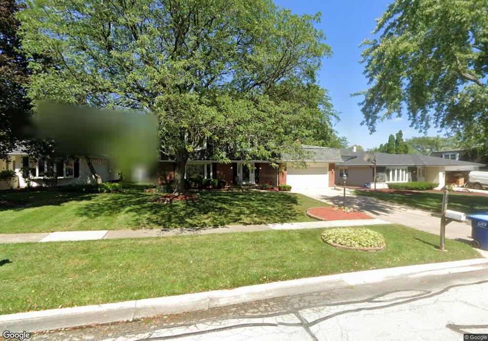
814 Albany Ln Darien, IL 60561
Estimated Value: $490,724 - $582,000
--
Bed
1
Bath
2,354
Sq Ft
$231/Sq Ft
Est. Value
About This Home
This home is located at 814 Albany Ln, Darien, IL 60561 and is currently estimated at $544,431, approximately $231 per square foot. 814 Albany Ln is a home located in DuPage County with nearby schools including Mark Delay School, Lace Elementary School, and Eisenhower Jr High School.
Ownership History
Date
Name
Owned For
Owner Type
Purchase Details
Closed on
Jul 29, 2002
Sold by
Seely Edward D and Seely Carol A
Bought by
Pasquale Frank A and Sassano Marlene C
Current Estimated Value
Home Financials for this Owner
Home Financials are based on the most recent Mortgage that was taken out on this home.
Original Mortgage
$254,000
Outstanding Balance
$108,632
Interest Rate
6.7%
Estimated Equity
$435,799
Create a Home Valuation Report for This Property
The Home Valuation Report is an in-depth analysis detailing your home's value as well as a comparison with similar homes in the area
Home Values in the Area
Average Home Value in this Area
Purchase History
| Date | Buyer | Sale Price | Title Company |
|---|---|---|---|
| Pasquale Frank A | $317,500 | Premiert Title |
Source: Public Records
Mortgage History
| Date | Status | Borrower | Loan Amount |
|---|---|---|---|
| Open | Pasquale Frank A | $254,000 |
Source: Public Records
Tax History Compared to Growth
Tax History
| Year | Tax Paid | Tax Assessment Tax Assessment Total Assessment is a certain percentage of the fair market value that is determined by local assessors to be the total taxable value of land and additions on the property. | Land | Improvement |
|---|---|---|---|---|
| 2024 | $9,190 | $150,639 | $49,767 | $100,872 |
| 2023 | $8,855 | $138,480 | $45,750 | $92,730 |
| 2022 | $8,503 | $133,010 | $43,940 | $89,070 |
| 2021 | $8,180 | $131,500 | $43,440 | $88,060 |
| 2020 | $8,071 | $128,900 | $42,580 | $86,320 |
| 2019 | $7,804 | $123,680 | $40,860 | $82,820 |
| 2018 | $7,585 | $121,310 | $40,630 | $80,680 |
| 2017 | $7,513 | $116,740 | $39,100 | $77,640 |
| 2016 | $7,321 | $111,420 | $37,320 | $74,100 |
| 2015 | $7,219 | $104,820 | $35,110 | $69,710 |
| 2014 | $7,373 | $105,490 | $34,140 | $71,350 |
| 2013 | $7,128 | $105,000 | $33,980 | $71,020 |
Source: Public Records
Map
Nearby Homes
- 6730 Charleston Dr
- 1121 Lodgepole Ct
- 1145 Lacebark Ct
- 6542 Bentley Ave
- 6655 S Cass Ave Unit 5D
- 6540 Bentley Ave
- 6538 Bentley Ave
- 6136 Bentley Ave
- 1205 Charleston Ct Unit 1205
- 6648 Weather Hill Dr
- 47 W Pier Dr Unit 102
- 6340 Tennessee Ave
- 61 Pier Dr Unit 202
- 279 Snug Harbor Dr
- 1327 Cass Ln E Unit 301
- 55 W 64th St Unit 102
- 55 W 64th St Unit 202
- 107 65th Lake Dr Unit 202
- 6503 Clarendon Hills Rd
- 1125 Timber Ln Unit 2
- 810 Albany Ln
- 818 Albany Ln
- 6713 Trenton Ln
- 806 Albany Ln
- 6709 Trenton Ln
- 813 Albany Ln
- 809 Albany Ln
- 817 Albany Ln
- 805 Albany Ln
- 6705 Trenton Ln
- 6720 Trenton Ln
- 6716 Trenton Ln
- 6724 Trenton Ln
- 6712 Trenton Ln
- 821 Albany Ln
- 814 Columbia Ln
- 818 Columbia Ln
- 810 Columbia Ln
- 6717 Richmond Ave
- 6708 Trenton Ln