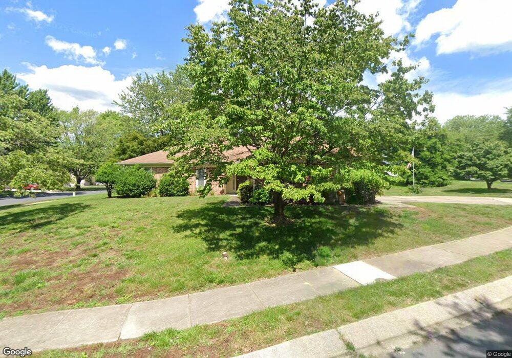
814 Bermuda Ct Annapolis, MD 21401
Parole NeighborhoodEstimated Value: $655,000 - $692,000
3
Beds
2
Baths
1,935
Sq Ft
$347/Sq Ft
Est. Value
About This Home
This home is located at 814 Bermuda Ct, Annapolis, MD 21401 and is currently estimated at $671,983, approximately $347 per square foot. 814 Bermuda Ct is a home located in Anne Arundel County with nearby schools including Rolling Knolls Elementary School, Wiley H. Bates Middle School, and Annapolis High School.
Ownership History
Date
Name
Owned For
Owner Type
Purchase Details
Closed on
Sep 30, 2011
Sold by
Riskin Trustee Albert
Bought by
Haversack Edward and Haversack Marlene
Current Estimated Value
Home Financials for this Owner
Home Financials are based on the most recent Mortgage that was taken out on this home.
Original Mortgage
$179,500
Outstanding Balance
$122,721
Interest Rate
4.15%
Mortgage Type
New Conventional
Estimated Equity
$549,262
Purchase Details
Closed on
Nov 16, 2009
Sold by
Kunde Robert C
Bought by
Riskin Albert and Riskin Peggy L
Create a Home Valuation Report for This Property
The Home Valuation Report is an in-depth analysis detailing your home's value as well as a comparison with similar homes in the area
Home Values in the Area
Average Home Value in this Area
Purchase History
| Date | Buyer | Sale Price | Title Company |
|---|---|---|---|
| Haversack Edward | $370,000 | -- | |
| Riskin Albert | $365,000 | -- |
Source: Public Records
Mortgage History
| Date | Status | Borrower | Loan Amount |
|---|---|---|---|
| Open | Haversack Edward | $179,500 |
Source: Public Records
Tax History
| Year | Tax Paid | Tax Assessment Tax Assessment Total Assessment is a certain percentage of the fair market value that is determined by local assessors to be the total taxable value of land and additions on the property. | Land | Improvement |
|---|---|---|---|---|
| 2025 | $5,093 | $523,200 | -- | -- |
| 2024 | $5,093 | $487,600 | $0 | $0 |
| 2023 | $4,933 | $452,000 | $231,000 | $221,000 |
| 2022 | $4,626 | $452,000 | $231,000 | $221,000 |
| 2020 | $4,453 | $460,100 | $241,000 | $219,100 |
| 2019 | $4,362 | $437,900 | $0 | $0 |
| 2018 | $4,215 | $415,700 | $0 | $0 |
| 2017 | $4,072 | $393,500 | $0 | $0 |
| 2016 | -- | $374,833 | $0 | $0 |
| 2015 | -- | $356,167 | $0 | $0 |
| 2014 | -- | $337,500 | $0 | $0 |
Source: Public Records
Map
Nearby Homes
- 2568 Glen Cove
- 1955 Marconi Cir
- 1945 Marconi Cir
- 1943 Marconi Cir
- 926 Perry Landing Ct
- 2510 Painter Ct
- 1010 Mastline Dr
- 932 Riversedge Cir
- 2568 Forest Knoll
- 992 Riversedge Cir
- 2828 Berth Ct
- 940 Astern Way Unit 102A
- 940 Astern Way Unit 309
- 930 Astern Way Unit 512
- 930 Astern Way Unit 405
- 2900 Shipmaster Way Unit 216
- 2900 Shipmaster Way Unit 312
- 1907 Mackiebeth Ct
- 2572 Golfers Ridge Rd
- 621 Wood Lot Trail Rd
- 937 Mastline Dr
- 813 Bermuda Ct
- 811 Bermuda Ct
- 938 Mastline Dr
- 815 Bermuda Ct
- 808 Bermuda Ct
- 936 Mastline Dr
- 935 Mastline Dr
- 809 Bermuda Ct
- 947 Bermuda Ln
- 807 Bermuda Ct
- 804 Bridgeport Way
- 932 Mastline Dr
- 948 Bermuda Ln
- 933 Mastline Dr
- 804 Bermuda Ct
- 943 Mastline Dr
- 934 Mastline Dr
- 806 Bridgeport Way
- 930 Mastline Dr
Your Personal Tour Guide
Ask me questions while you tour the home.