814 Brookside Ct Unit 4 Woodstock, GA 30188
Union Hill NeighborhoodEstimated Value: $582,000 - $644,000
3
Beds
4
Baths
4,363
Sq Ft
$140/Sq Ft
Est. Value
About This Home
This home is located at 814 Brookside Ct Unit 4, Woodstock, GA 30188 and is currently estimated at $613,000, approximately $140 per square foot. 814 Brookside Ct Unit 4 is a home located in Cherokee County with nearby schools including Johnston Elementary School, Mill Creek Middle School, and River Ridge High School.
Ownership History
Date
Name
Owned For
Owner Type
Purchase Details
Closed on
Aug 30, 2002
Sold by
Morrison Homes Inc
Bought by
Traylor James E and Traylor Carol M
Current Estimated Value
Home Financials for this Owner
Home Financials are based on the most recent Mortgage that was taken out on this home.
Original Mortgage
$75,000
Outstanding Balance
$29,348
Interest Rate
5.63%
Mortgage Type
New Conventional
Estimated Equity
$583,652
Create a Home Valuation Report for This Property
The Home Valuation Report is an in-depth analysis detailing your home's value as well as a comparison with similar homes in the area
Home Values in the Area
Average Home Value in this Area
Purchase History
| Date | Buyer | Sale Price | Title Company |
|---|---|---|---|
| Traylor James E | $273,400 | -- |
Source: Public Records
Mortgage History
| Date | Status | Borrower | Loan Amount |
|---|---|---|---|
| Open | Traylor James E | $75,000 |
Source: Public Records
Tax History Compared to Growth
Tax History
| Year | Tax Paid | Tax Assessment Tax Assessment Total Assessment is a certain percentage of the fair market value that is determined by local assessors to be the total taxable value of land and additions on the property. | Land | Improvement |
|---|---|---|---|---|
| 2025 | $1,357 | $245,756 | $44,800 | $200,956 |
| 2024 | $2,057 | $241,720 | $44,800 | $196,920 |
| 2023 | $1,214 | $217,040 | $41,200 | $175,840 |
| 2022 | $1,729 | $204,880 | $36,000 | $168,880 |
| 2021 | $1,424 | $177,160 | $30,000 | $147,160 |
| 2020 | $1,214 | $163,640 | $28,400 | $135,240 |
| 2019 | $1,181 | $154,960 | $26,800 | $128,160 |
| 2018 | $1,162 | $144,280 | $24,000 | $120,280 |
| 2017 | $1,162 | $342,200 | $24,000 | $112,880 |
| 2016 | $1,178 | $329,100 | $22,800 | $108,840 |
| 2015 | $1,182 | $313,000 | $21,200 | $104,000 |
| 2014 | $1,144 | $295,900 | $19,200 | $99,160 |
Source: Public Records
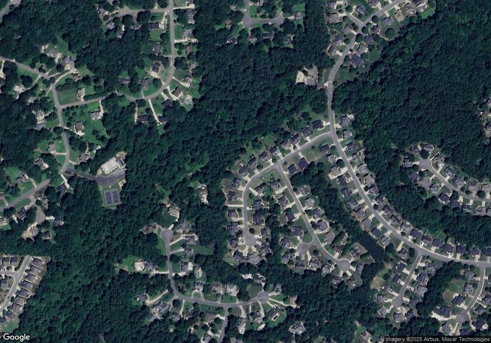
Map
Nearby Homes
- 160 Highlands Dr
- 151 Springwater Trace
- 713 Parkside Dr
- 161 Stoney Creek Pkwy
- 1095 Ashlin Dr
- 614 Springharbor Dr
- 126 Highlands Dr Unit 1
- 505 Lost Creek Dr
- 214 Valley Brook Dr
- 512 S Holly Springs Rd
- 524 S Holly Springs Rd
- 2007 Meadows Dr
- 414 New Park Dr
- 224 Stone Park Dr
- 550 Fox Creek Crossing
- 531 Fox Creek Crossing
- 707 Evans St
- 812 Brookside Ct
- 816 Brookside Ct Unit IV
- 810 Brookside Ct
- 818 Brookside Ct
- 809 Brookside Ct Unit 4
- 808 Brookside Ct
- 900 Arbor View Ln
- 1234 Telaro Place
- 811 Brookside Ct
- 0 Brookside Ct Unit 8549042
- 820 Brookside Ct
- 806 Brookside Ct
- 901 Arbor View Ln
- 813 Brookside Ct Unit IV
- 902 Arbor View Ln Unit 4
- 804 Brookside Ct
- 0 Brookside Ct NW Unit 3190025
- 0 Brookside Ct NW
- 822 Brookside Ct
- 803 Brookside Ct