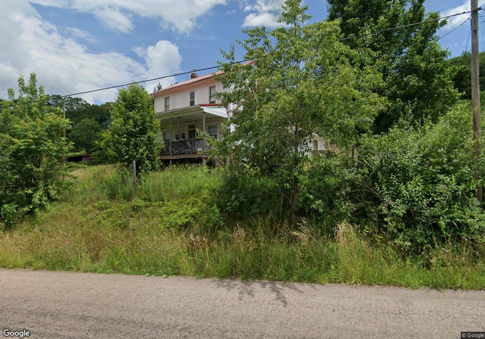
814 Deal Rd Meyersdale, PA 15552
Larimer Township NeighborhoodEstimated Value: $174,000 - $314,000
3
Beds
1
Bath
1,190
Sq Ft
$187/Sq Ft
Est. Value
About This Home
This home is located at 814 Deal Rd, Meyersdale, PA 15552 and is currently estimated at $222,439, approximately $186 per square foot. 814 Deal Rd is a home located in Somerset County with nearby schools including Meyersdale Area Elementary School, Meyersdale Area Middle School, and Meyersdale Area High School.
Ownership History
Date
Name
Owned For
Owner Type
Purchase Details
Closed on
Mar 28, 2008
Sold by
Jackson David L and Sutton Marion M
Bought by
Showell Vinette
Current Estimated Value
Home Financials for this Owner
Home Financials are based on the most recent Mortgage that was taken out on this home.
Original Mortgage
$152,000
Outstanding Balance
$97,930
Interest Rate
6.3%
Mortgage Type
New Conventional
Estimated Equity
$124,509
Create a Home Valuation Report for This Property
The Home Valuation Report is an in-depth analysis detailing your home's value as well as a comparison with similar homes in the area
Home Values in the Area
Average Home Value in this Area
Purchase History
| Date | Buyer | Sale Price | Title Company |
|---|---|---|---|
| Showell Vinette | $190,000 | None Available |
Source: Public Records
Mortgage History
| Date | Status | Borrower | Loan Amount |
|---|---|---|---|
| Open | Showell Vinette | $152,000 |
Source: Public Records
Tax History Compared to Growth
Tax History
| Year | Tax Paid | Tax Assessment Tax Assessment Total Assessment is a certain percentage of the fair market value that is determined by local assessors to be the total taxable value of land and additions on the property. | Land | Improvement |
|---|---|---|---|---|
| 2025 | $1,005 | $23,360 | $0 | $0 |
| 2024 | $962 | $23,360 | $0 | $0 |
| 2023 | $889 | $23,360 | $0 | $0 |
| 2022 | $889 | $23,360 | $0 | $0 |
| 2021 | $889 | $23,360 | $0 | $0 |
| 2020 | $608 | $15,970 | $0 | $0 |
| 2019 | $608 | $15,970 | $0 | $0 |
| 2018 | $595 | $15,970 | $7,150 | $8,820 |
| 2017 | $588 | $16,010 | $7,190 | $8,820 |
| 2016 | -- | $15,840 | $7,240 | $8,600 |
| 2015 | -- | $15,910 | $7,315 | $8,595 |
| 2014 | -- | $16,430 | $7,835 | $8,595 |
Source: Public Records
Map
Nearby Homes
- 000 Warren's Mill Rd
- 000 Warrens Mill Rd
- 179 Jacobs Place
- 0 Schrock Dr
- 0 Keystone St
- 475 Lincoln St Extension
- 475 Lincoln Ave
- 219 Large St
- 304 Meyers Ave
- 134 Lincoln Ave
- 301 Meyers Ave
- 116 Meyers Ave
- 7087 Mason Dixon Hwy
- 317 North St
- 1440 Shaw Mines Rd
- 725 Grant Street Extension
- 132 Sipple Dr
- 16805 Jericho Ln
- 9252 Mason - Dixon Hwy
- 17 Grant St
- 203 Clear Stream Dr
- 159 Crissinger Ln
- 437 Deal Rd
- 1294 Warrens Mill Rd
- 1253 Warrens Mill Rd
- 118 Windy Acres Ln
- 118 Windy Acres Ln
- 427 Deal Rd
- 1058 Deal Rd
- 1764 Deal Rd
- 0 Deal Rd
- 0 Hersch Rd
- 384 Hershberger Rd
- Corner o Glade City Road and Deal Rd
- 0 Rd # 4
- 0 Rt 4 Box 143b
- 1855
- 628 Grant Street Rear
- 0 Rd #4
- 0 Rd