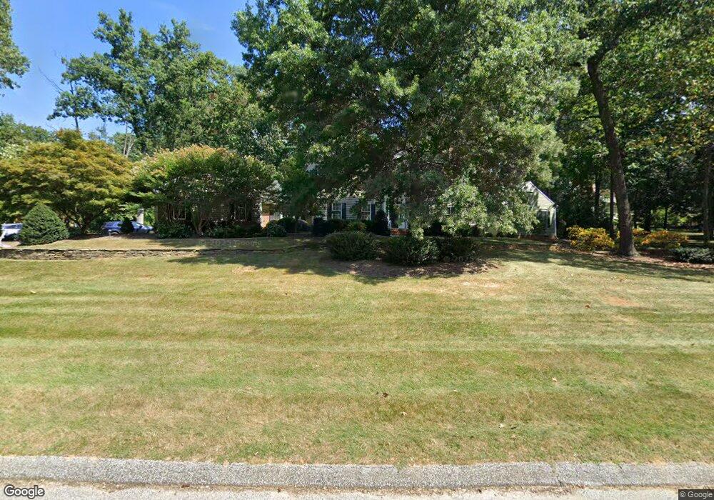
814 Katesford Rd Cockeysville, MD 21030
Falls Road Corridor NeighborhoodEstimated Value: $1,330,000 - $1,677,000
--
Bed
4
Baths
4,521
Sq Ft
$331/Sq Ft
Est. Value
About This Home
This home is located at 814 Katesford Rd, Cockeysville, MD 21030 and is currently estimated at $1,497,752, approximately $331 per square foot. 814 Katesford Rd is a home located in Baltimore County with nearby schools including Mays Chapel Elementary School, Ridgely Middle, and Dulaney High School.
Ownership History
Date
Name
Owned For
Owner Type
Purchase Details
Closed on
Mar 28, 2003
Sold by
Stuke Bryan K
Bought by
Brady Edward P and Brady Mary Beth
Current Estimated Value
Purchase Details
Closed on
Oct 14, 1994
Sold by
Lareau Peter A
Bought by
Stuke Bryan K
Home Financials for this Owner
Home Financials are based on the most recent Mortgage that was taken out on this home.
Original Mortgage
$350,000
Interest Rate
8.43%
Purchase Details
Closed on
Jun 13, 1989
Sold by
C & L Constructi On Corporation
Bought by
Lareau Peter A
Create a Home Valuation Report for This Property
The Home Valuation Report is an in-depth analysis detailing your home's value as well as a comparison with similar homes in the area
Home Values in the Area
Average Home Value in this Area
Purchase History
| Date | Buyer | Sale Price | Title Company |
|---|---|---|---|
| Brady Edward P | $785,000 | -- | |
| Stuke Bryan K | $575,000 | -- | |
| Lareau Peter A | $469,000 | -- |
Source: Public Records
Mortgage History
| Date | Status | Borrower | Loan Amount |
|---|---|---|---|
| Previous Owner | Stuke Bryan K | $350,000 |
Source: Public Records
Tax History Compared to Growth
Tax History
| Year | Tax Paid | Tax Assessment Tax Assessment Total Assessment is a certain percentage of the fair market value that is determined by local assessors to be the total taxable value of land and additions on the property. | Land | Improvement |
|---|---|---|---|---|
| 2025 | $12,141 | $1,126,900 | $418,000 | $708,900 |
| 2024 | $12,141 | $1,058,067 | $0 | $0 |
| 2023 | $5,796 | $989,233 | $0 | $0 |
| 2022 | $11,114 | $920,400 | $418,000 | $502,400 |
| 2021 | $10,794 | $914,167 | $0 | $0 |
| 2020 | $10,794 | $907,933 | $0 | $0 |
| 2019 | $10,413 | $901,700 | $418,000 | $483,700 |
| 2018 | $9,999 | $852,833 | $0 | $0 |
| 2017 | $9,512 | $803,967 | $0 | $0 |
| 2016 | $9,700 | $755,100 | $0 | $0 |
| 2015 | $9,700 | $755,100 | $0 | $0 |
| 2014 | $9,700 | $755,100 | $0 | $0 |
Source: Public Records
Map
Nearby Homes
- 2 Hillsyde Ct
- 12330 Rosslare Ridge Rd Unit 108
- 639 Strandhill Ct
- 12300 Rosslare Ridge Rd Unit 508
- 12300 Rosslare Ridge Rd Unit 503
- 13036 Jerome Jay Dr
- 12246 Roundwood Rd Unit 304
- 814 W Padonia Rd
- 12240 Roundwood Rd Unit 704
- 12240 Roundwood Rd Unit 408
- 12240 Roundwood Rd Unit 301
- 12236 Roundwood Rd Unit 606
- 600 Straffan Dr Unit 402
- 661 Straffan Dr Unit 401
- 641 Straffan Dr Unit 102
- 12108 Tullamore Ct Unit 204
- 12105 Tullamore Ct Unit 204
- 783 Leister Dr
- 405 Plumbridge Ct Unit 204
- 12011 Tralee Rd Unit 104
- 12300 Michaelsford Rd
- 12302 Michaelsford Rd
- 816 Katesford Rd
- 811 Katesford Rd
- 815 Katesford Rd
- 12301 Michaelsford Rd
- 809 Katesford Rd
- 818 Katesford Rd
- 12304 Michaelsford Rd
- 12308 Michaelsford Rd
- 807 Katesford Rd
- 12306 Michaelsford Rd
- 2 Hollyford Rd
- 806 Katesford Rd
- 12310 Michaelsford Rd
- 820 Katesford Rd
- 12309 Michaelsford Rd
- 12305 Michaelsford Rd
- 805 Katesford Rd
- 822 Katesford Rd