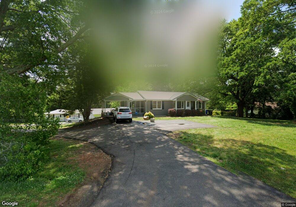
814 MacLand Rd Unit 838 Dallas, GA 30132
East Paulding County NeighborhoodEstimated Value: $319,447 - $402,000
3
Beds
1
Bath
1,985
Sq Ft
$182/Sq Ft
Est. Value
About This Home
This home is located at 814 MacLand Rd Unit 838, Dallas, GA 30132 and is currently estimated at $360,362, approximately $181 per square foot. 814 MacLand Rd Unit 838 is a home located in Paulding County with nearby schools including Dallas Elementary School, P. B. Ritch Middle School, and East Paulding High School.
Ownership History
Date
Name
Owned For
Owner Type
Purchase Details
Closed on
Jan 24, 2019
Sold by
Citizens Trust Bank
Bought by
Jones Paul and Jones Helene
Current Estimated Value
Purchase Details
Closed on
Jul 3, 2018
Sold by
Mctaggart Selina
Bought by
Citizens Trust Bank
Purchase Details
Closed on
Apr 10, 2012
Sold by
Citizens Trust Bank
Bought by
Mctaggart Selina Marcella
Home Financials for this Owner
Home Financials are based on the most recent Mortgage that was taken out on this home.
Original Mortgage
$42,750
Interest Rate
3.96%
Mortgage Type
New Conventional
Create a Home Valuation Report for This Property
The Home Valuation Report is an in-depth analysis detailing your home's value as well as a comparison with similar homes in the area
Home Values in the Area
Average Home Value in this Area
Purchase History
| Date | Buyer | Sale Price | Title Company |
|---|---|---|---|
| Jones Paul | $85,100 | -- | |
| Citizens Trust Bank | $44,464 | -- | |
| Mctaggart Selina Marcella | $45,000 | -- | |
| Mctaggert Selina Marcella | $45,000 | -- |
Source: Public Records
Mortgage History
| Date | Status | Borrower | Loan Amount |
|---|---|---|---|
| Previous Owner | Mctaggert Selina Marcella | $42,750 |
Source: Public Records
Tax History Compared to Growth
Tax History
| Year | Tax Paid | Tax Assessment Tax Assessment Total Assessment is a certain percentage of the fair market value that is determined by local assessors to be the total taxable value of land and additions on the property. | Land | Improvement |
|---|---|---|---|---|
| 2024 | $4,381 | $176,120 | $26,320 | $149,800 |
| 2023 | $4,153 | $159,320 | $25,000 | $134,320 |
| 2022 | $3,654 | $140,160 | $20,960 | $119,200 |
| 2021 | $2,939 | $101,148 | $17,680 | $83,468 |
| 2020 | $2,674 | $90,036 | $16,840 | $73,196 |
| 2019 | $1,424 | $47,272 | $15,160 | $32,112 |
| 2018 | $1,009 | $33,484 | $15,840 | $17,644 |
| 2017 | $986 | $32,284 | $15,160 | $17,124 |
| 2016 | $884 | $29,228 | $15,160 | $14,068 |
| 2015 | $716 | $23,276 | $14,880 | $8,396 |
| 2014 | $674 | $21,360 | $13,680 | $7,680 |
| 2013 | -- | $27,920 | $15,000 | $12,920 |
Source: Public Records
Map
Nearby Homes
- 50 MacLand Township Dr
- 68 MacLand Township Dr
- 26 Dublin Way
- 55 Donegal Way
- 35 Donegal Ct
- 29 Donegal Ct
- 61 Donegal Way
- 51 Donegal Ct
- 138 Donegal Way
- 255 Dublin Way
- 116 Gail St
- 413 W I Pkwy
- 292 Dublin Way
- 318 Dublin Way
- 443 Dublin Way
- 375 Dublin Way
- 395 Dublin Way
- 354 Dublin Way
- 406 Dublin Way
- 364 Dublin Way
- 814 MacLand Rd
- 838 MacLand Rd
- 814 838 MacLand
- 786 MacLand Rd
- 0 Tower Dr
- 14 Tower Dr
- 0 MacLand Township Dr Unit 8598076
- 0 MacLand Township Dr Unit 8776543
- 0 MacLand Township Dr
- 758 MacLand Rd
- 81 Birch River
- 37 Brock Dr
- 59 Brock Dr
- 871 MacLand Rd
- 89 Brock Dr Unit 30
- 89 Brock Dr
- 54 Mallow Ct
- 699 MacLand Rd
- 36 Brock Dr
- 46 Brock Dr