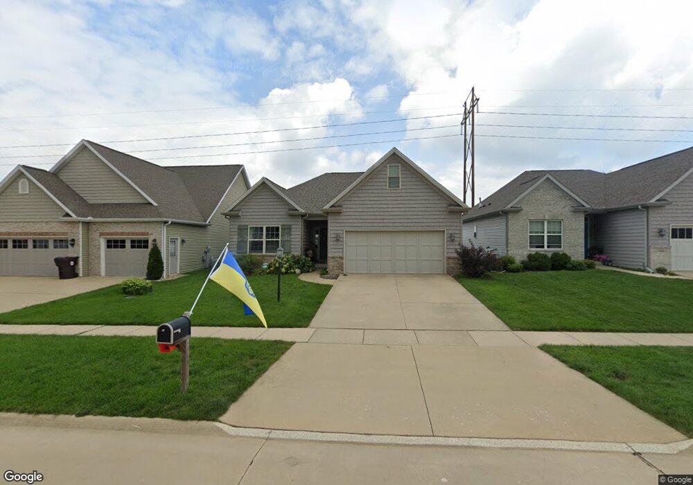
814 N Woodspring Dr Mahomet, IL 61853
Estimated Value: $301,000 - $348,603
--
Bed
--
Bath
--
Sq Ft
5,184
Sq Ft Lot
About This Home
This home is located at 814 N Woodspring Dr, Mahomet, IL 61853 and is currently estimated at $323,651. 814 N Woodspring Dr is a home located in Champaign County with nearby schools including Middletown Prairie Elementary, Mahomet Christian School, and First School.
Ownership History
Date
Name
Owned For
Owner Type
Purchase Details
Closed on
Jun 2, 2025
Sold by
Myers Beth A and Whitsitt Mark S
Bought by
Laura Jean Hammer Trust and Hammer
Current Estimated Value
Purchase Details
Closed on
Aug 5, 2013
Sold by
Bentbrook Properties Llc
Bought by
Whitsitt Mark S
Home Financials for this Owner
Home Financials are based on the most recent Mortgage that was taken out on this home.
Original Mortgage
$188,100
Interest Rate
3.93%
Mortgage Type
New Conventional
Create a Home Valuation Report for This Property
The Home Valuation Report is an in-depth analysis detailing your home's value as well as a comparison with similar homes in the area
Home Values in the Area
Average Home Value in this Area
Purchase History
| Date | Buyer | Sale Price | Title Company |
|---|---|---|---|
| Laura Jean Hammer Trust | $300,000 | None Listed On Document | |
| Whitsitt Mark S | -- | -- |
Source: Public Records
Mortgage History
| Date | Status | Borrower | Loan Amount |
|---|---|---|---|
| Previous Owner | Whitsitt Mark S | $188,100 |
Source: Public Records
Tax History Compared to Growth
Tax History
| Year | Tax Paid | Tax Assessment Tax Assessment Total Assessment is a certain percentage of the fair market value that is determined by local assessors to be the total taxable value of land and additions on the property. | Land | Improvement |
|---|---|---|---|---|
| 2024 | $6,358 | $94,980 | $19,010 | $75,970 |
| 2023 | $6,358 | $86,340 | $17,280 | $69,060 |
| 2022 | $5,889 | $79,580 | $15,930 | $63,650 |
| 2021 | $5,576 | $75,220 | $15,060 | $60,160 |
| 2020 | $5,475 | $73,960 | $14,810 | $59,150 |
| 2019 | $5,337 | $72,800 | $14,580 | $58,220 |
| 2018 | $5,185 | $71,240 | $14,270 | $56,970 |
| 2017 | $4,976 | $67,850 | $13,590 | $54,260 |
| 2016 | $4,951 | $67,850 | $13,590 | $54,260 |
| 2015 | $4,983 | $67,850 | $13,590 | $54,260 |
| 2014 | $4,676 | $64,260 | $10,000 | $54,260 |
| 2013 | $5,149 | $64,260 | $10,000 | $54,260 |
Source: Public Records
Map
Nearby Homes
- 198 Franklin Blvd
- 1104 Parkview Dr
- 473 Macon St
- 512 Richland St
- 166 Randolph St
- 628 Williamson St
- 106 Juniper Dr
- 1105 Olen Dr
- 1203 Marianne Ct
- 2208 Mallard Dr
- 2116 Robin Rd
- 102 S Lake of the Woods Rd
- 2404 Fogel Rd
- 307 S Fox Run Dr
- 1207 Sandstone Ct
- Greenbriar Plan at Ridge Creek
- Ridgecrest 1919 Plan at Ridge Creek
- Eldridge Plan at Ridge Creek
- Ridgeland Plan at Ridge Creek
- Douglas 1984 Plan at Ridge Creek
- 812 N Woodspring Dr
- 816 N Woodspring Dr
- 810 N Woodspring Dr
- 818 N Woodspring Dr
- 808 N Woodspring Dr
- 820 N Woodspring Dr
- 1910 E Quail Run Dr
- 806 N Woodspring Dr
- 1910 E Quail Run
- 1919 E Quail Run Dr
- 1919 Quail Run Dr
- 1917 E Quail Run Dr
- 1917 Quail Run Dr
- 1915 E Quail Run Dr
- 804 N Woodspring Dr
- 1915 Quail Run Dr
- 1908 E Quail Run Dr
- 1913 E Quail Run
- 1913 E Quail Run Dr
- 1911 E Quail Run