814 Raper Rd Benton, AR 72015
Estimated Value: $257,000 - $352,542
Studio
--
Bath
1,922
Sq Ft
$159/Sq Ft
Est. Value
About This Home
This home is located at 814 Raper Rd, Benton, AR 72015 and is currently estimated at $306,386, approximately $159 per square foot. 814 Raper Rd is a home with nearby schools including Westbrook Elementary School, Harmony Grove Middle School, and Harmony Grove High School.
Ownership History
Date
Name
Owned For
Owner Type
Purchase Details
Closed on
Aug 10, 2011
Sold by
Love Brandon and Love Shanna Watts
Bought by
Love Brandon and Love Shanna L
Current Estimated Value
Home Financials for this Owner
Home Financials are based on the most recent Mortgage that was taken out on this home.
Original Mortgage
$150,000
Outstanding Balance
$104,244
Interest Rate
4.65%
Mortgage Type
New Conventional
Estimated Equity
$202,142
Purchase Details
Closed on
Nov 22, 2004
Bought by
Watts W
Purchase Details
Closed on
Nov 18, 2004
Bought by
Watts W
Purchase Details
Closed on
Apr 5, 2001
Bought by
Watts
Purchase Details
Closed on
Apr 2, 2001
Sold by
Ransom Carl A and Ransom Martha
Bought by
Humes Christopher Lee
Purchase Details
Closed on
Nov 15, 1999
Bought by
Humes
Purchase Details
Closed on
Jul 15, 1994
Bought by
Ransom
Create a Home Valuation Report for This Property
The Home Valuation Report is an in-depth analysis detailing your home's value as well as a comparison with similar homes in the area
Home Values in the Area
Average Home Value in this Area
Purchase History
| Date | Buyer | Sale Price | Title Company |
|---|---|---|---|
| Love Brandon | -- | None Available | |
| Watts W | -- | -- | |
| Watts W | -- | -- | |
| Watts | $55,000 | -- | |
| Humes | -- | -- | |
| Ranson | -- | -- | |
| Humes Christopher Lee | -- | -- | |
| Humes | -- | -- | |
| Ransom | $27,000 | -- |
Source: Public Records
Mortgage History
| Date | Status | Borrower | Loan Amount |
|---|---|---|---|
| Open | Love Brandon | $150,000 |
Source: Public Records
Tax History
| Year | Tax Paid | Tax Assessment Tax Assessment Total Assessment is a certain percentage of the fair market value that is determined by local assessors to be the total taxable value of land and additions on the property. | Land | Improvement |
|---|---|---|---|---|
| 2025 | $2,965 | $62,935 | $6,768 | $56,167 |
| 2024 | $2,818 | $62,935 | $6,768 | $56,167 |
| 2023 | $2,006 | $55,127 | $6,768 | $48,359 |
| 2022 | $1,946 | $55,127 | $6,768 | $48,359 |
| 2021 | $1,839 | $40,780 | $4,510 | $36,270 |
| 2020 | $1,839 | $40,780 | $4,510 | $36,270 |
| 2019 | $1,725 | $40,780 | $4,510 | $36,270 |
| 2018 | $1,632 | $38,480 | $4,510 | $33,970 |
| 2017 | $1,612 | $38,480 | $4,510 | $33,970 |
| 2016 | $1,866 | $36,280 | $4,510 | $31,770 |
| 2015 | $1,857 | $36,280 | $4,510 | $31,770 |
| 2014 | $1,507 | $35,860 | $4,510 | $31,350 |
Source: Public Records
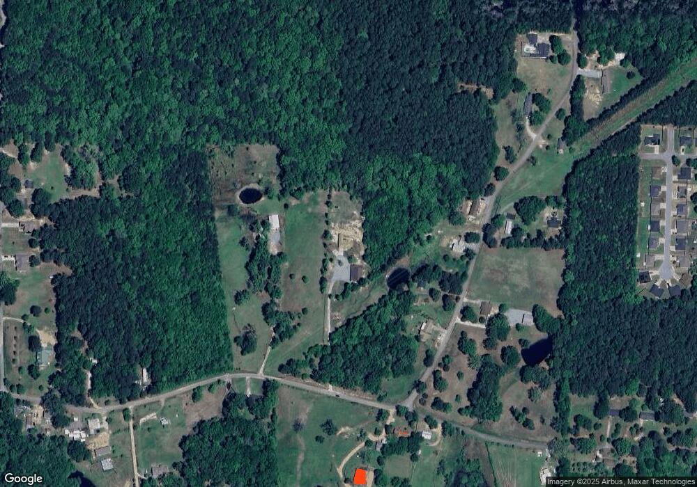
Map
Nearby Homes
- 815 Graham Rd
- 112 Kee Cove
- 810 Troutman Rd
- 000 Desi Ln
- 306 Meadow Creek Dr
- 5060 N Highway 229
- 5017 Rolling Meadow Loop
- 350 Meadow Creek Dr
- 4001 Rolling Meadow Ln
- 370 Meadow Creek Dr
- 0000 Deer Creek Rd
- 0 Oklahoma Inn Rd Unit 24728946
- 0 Oklahoma Inn Rd Unit 24728947
- 4133 Brody Crossing
- Oklahoma Inn Rd
- 114 Hayes Haskell St
- 1019 Grand Ave
- 401 Aden Ave
- 1310 Caroline Cove
- 1445 Pine
- 837 Raper Rd
- 723 Raper Rd
- 1001 Raper Rd
- 500 Westbrook Rd
- 0 Raper Haskell Rd
- 1017 Raper Rd
- 543 Lewallen Rd
- 1017 Raper Haskell Rd
- 408 Westbrook Rd
- 457 Westbrook Rd
- 319 Lewallen Rd
- 389 Lewallen Rd
- 413 Lewallen Rd
- 801 Cherrywood Trail
- 541 Raper Rd
- 540 Raper Rd
- 806 Cherrywood Trail
- 314 Westbrook Rd
- 4624 Canine Cove
- 514 Saint Charles Ct
Your Personal Tour Guide
Ask me questions while you tour the home.