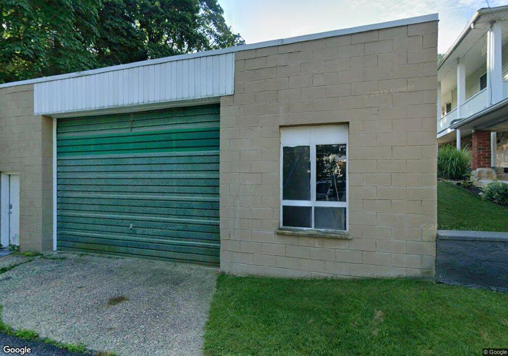
814 W Carroll St Saint Clair, PA 17970
Estimated Value: $128,987 - $162,000
3
Beds
1
Bath
1,584
Sq Ft
$94/Sq Ft
Est. Value
About This Home
This home is located at 814 W Carroll St, Saint Clair, PA 17970 and is currently estimated at $148,247, approximately $93 per square foot. 814 W Carroll St is a home located in Schuylkill County with nearby schools including Saint Clair Area Elementary/Middle School, Gillingham Charter School, and ASSUMPTION BVM SCHOOL.
Ownership History
Date
Name
Owned For
Owner Type
Purchase Details
Closed on
Mar 15, 2008
Sold by
Orlick Carol A
Bought by
Andrews Ii James E
Current Estimated Value
Home Financials for this Owner
Home Financials are based on the most recent Mortgage that was taken out on this home.
Original Mortgage
$116,550
Outstanding Balance
$74,763
Interest Rate
6.3%
Mortgage Type
New Conventional
Estimated Equity
$73,484
Create a Home Valuation Report for This Property
The Home Valuation Report is an in-depth analysis detailing your home's value as well as a comparison with similar homes in the area
Home Values in the Area
Average Home Value in this Area
Purchase History
| Date | Buyer | Sale Price | Title Company |
|---|---|---|---|
| Andrews Ii James E | $129,500 | None Available |
Source: Public Records
Mortgage History
| Date | Status | Borrower | Loan Amount |
|---|---|---|---|
| Open | Andrews Ii James E | $116,550 |
Source: Public Records
Tax History Compared to Growth
Tax History
| Year | Tax Paid | Tax Assessment Tax Assessment Total Assessment is a certain percentage of the fair market value that is determined by local assessors to be the total taxable value of land and additions on the property. | Land | Improvement |
|---|---|---|---|---|
| 2025 | $1,365 | $19,995 | $6,165 | $13,830 |
| 2024 | $1,300 | $19,995 | $6,165 | $13,830 |
| 2023 | $1,300 | $19,995 | $6,165 | $13,830 |
| 2022 | $1,300 | $19,995 | $6,165 | $13,830 |
| 2021 | $1,312 | $19,995 | $6,165 | $13,830 |
| 2020 | $1,312 | $19,995 | $6,165 | $13,830 |
| 2018 | $1,288 | $19,995 | $6,165 | $13,830 |
| 2017 | $1,243 | $19,995 | $6,165 | $13,830 |
| 2015 | -- | $19,995 | $6,165 | $13,830 |
| 2011 | -- | $19,995 | $0 | $0 |
Source: Public Records
Map
Nearby Homes
- 108 Cherry St
- 225 Cherry St
- 212 Broad St
- 311 Broad St
- 309 Chestnut St
- 48 N 2nd St
- 32 S Front St
- 101 S 2nd St
- 219 S 3rd St
- 144 N Mill St
- 320 S Mill St
- 438 S Front St
- Lot 30 Elmwood Ct
- 0 - Lot 10 Elmwood Ct Unit 10
- 0 Caroline Ave Unit PASK2022658
- 702 & 698 Port Carbon St Clair Hwy
- 665 Port Carbon Saint Clair Hwy
- 15 Marcello Dr
- 145 Chamberlaine Ave
- 820 Water St
- 902 W Carroll St
- 904 W Carroll St
- 906 W Carroll St
- 810 W Carroll St
- 910 W Carroll St
- 800 W Carroll St
- 813 Wade Rd
- 708-710 W Carroll St
- W Carroll St
- 102 Cherry St
- 708 W Carroll St Unit 710
- 117 Arnot St
- 100 Arnot St
- 104 Cherry St
- 110 Arnot St Unit 112
- 119 Arnot St Unit 121
- 706 Post Row
- 709 W Carroll St
- 123 Arnot St
- 700 W Carroll St