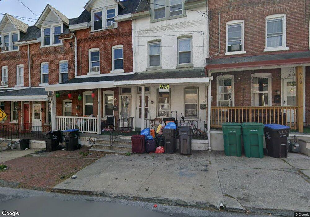
814 W Elm St Norristown, PA 19401
Estimated Value: $172,000 - $224,000
5
Beds
2
Baths
1,590
Sq Ft
$128/Sq Ft
Est. Value
About This Home
This home is located at 814 W Elm St, Norristown, PA 19401 and is currently estimated at $203,953, approximately $128 per square foot. 814 W Elm St is a home located in Montgomery County with nearby schools including Charles Blockson Middle School, Marshall Street Elementary School, and East Norriton Middle School.
Ownership History
Date
Name
Owned For
Owner Type
Purchase Details
Closed on
Jul 17, 2023
Sold by
Crosley John
Bought by
Vlspark Llc
Current Estimated Value
Purchase Details
Closed on
Apr 24, 2015
Sold by
Crosley John and Crosley Deborah
Bought by
Crosley John
Purchase Details
Closed on
Apr 20, 2005
Sold by
Not Provided
Bought by
Not Provided
Home Financials for this Owner
Home Financials are based on the most recent Mortgage that was taken out on this home.
Original Mortgage
$77,000
Interest Rate
6.01%
Mortgage Type
New Conventional
Purchase Details
Closed on
Apr 19, 2005
Sold by
Citizens Bank Pa
Bought by
Crosley John and Crosley Deborah
Home Financials for this Owner
Home Financials are based on the most recent Mortgage that was taken out on this home.
Original Mortgage
$77,000
Interest Rate
6.01%
Mortgage Type
New Conventional
Purchase Details
Closed on
Oct 3, 1997
Sold by
Cortese Christopher A and Cortese Deborah B
Bought by
Kennedy Ii Ronald
Create a Home Valuation Report for This Property
The Home Valuation Report is an in-depth analysis detailing your home's value as well as a comparison with similar homes in the area
Home Values in the Area
Average Home Value in this Area
Purchase History
| Date | Buyer | Sale Price | Title Company |
|---|---|---|---|
| Vlspark Llc | $85,000 | None Listed On Document | |
| Crosley John | -- | None Available | |
| Not Provided | $50,000 | -- | |
| Crosley John | $77,000 | -- | |
| Kennedy Ii Ronald | $79,900 | -- |
Source: Public Records
Mortgage History
| Date | Status | Borrower | Loan Amount |
|---|---|---|---|
| Previous Owner | Crosley John | $77,000 |
Source: Public Records
Tax History Compared to Growth
Tax History
| Year | Tax Paid | Tax Assessment Tax Assessment Total Assessment is a certain percentage of the fair market value that is determined by local assessors to be the total taxable value of land and additions on the property. | Land | Improvement |
|---|---|---|---|---|
| 2025 | $3,863 | $62,930 | $14,160 | $48,770 |
| 2024 | $3,863 | $62,930 | $14,160 | $48,770 |
| 2023 | $3,829 | $62,930 | $14,160 | $48,770 |
| 2022 | $3,745 | $62,930 | $14,160 | $48,770 |
| 2021 | $3,727 | $62,930 | $14,160 | $48,770 |
| 2020 | $3,556 | $62,930 | $14,160 | $48,770 |
| 2019 | $3,491 | $62,930 | $14,160 | $48,770 |
| 2018 | $2,323 | $62,930 | $14,160 | $48,770 |
| 2017 | $3,206 | $62,930 | $14,160 | $48,770 |
| 2016 | $3,181 | $62,930 | $14,160 | $48,770 |
| 2015 | $3,047 | $62,930 | $14,160 | $48,770 |
| 2014 | $3,047 | $62,930 | $14,160 | $48,770 |
Source: Public Records
Map
Nearby Homes
- 804 W Elm St Unit 70
- 732 Stanbridge St
- 701 Haws Ave
- 809 George St
- 904 Haws Ave
- 654 Stanbridge St
- 804 George St
- 648 Stanbridge St
- 637 Kohn St
- 909 Noble St
- 905 W Marshall St
- 632 Chain St
- 557 Haws Ave
- 558 Stanbridge St
- 1000 Sterigere St
- 0 Astor St
- 332 James St
- 1016 Thomas Barone St
- 231 W Spruce St
- 564 Hamilton St