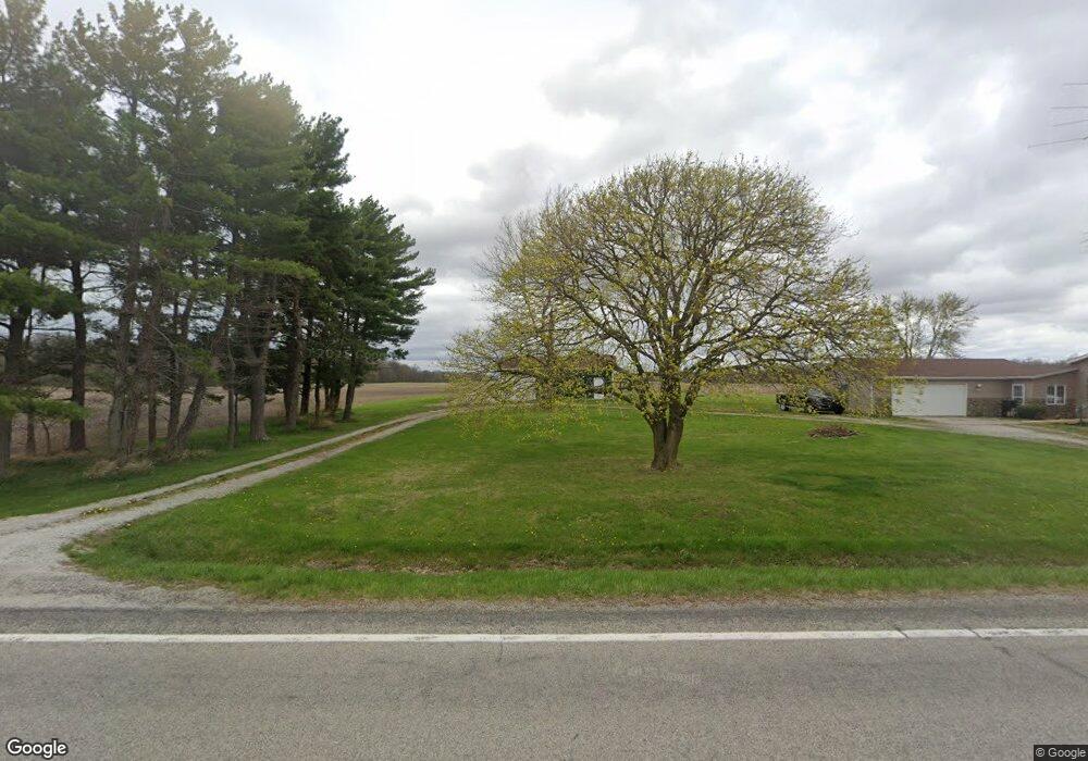
8142 W 600 S Andrews, IN 46702
Estimated Value: $212,000 - $318,000
3
Beds
2
Baths
1,792
Sq Ft
$145/Sq Ft
Est. Value
About This Home
This home is located at 8142 W 600 S, Andrews, IN 46702 and is currently estimated at $260,656, approximately $145 per square foot. 8142 W 600 S is a home located in Huntington County with nearby schools including Lancaster Elementary School and Huntington North High School.
Create a Home Valuation Report for This Property
The Home Valuation Report is an in-depth analysis detailing your home's value as well as a comparison with similar homes in the area
Tax History
| Year | Tax Paid | Tax Assessment Tax Assessment Total Assessment is a certain percentage of the fair market value that is determined by local assessors to be the total taxable value of land and additions on the property. | Land | Improvement |
|---|---|---|---|---|
| 2025 | $1,350 | $224,300 | $29,600 | $194,700 |
| 2024 | $1,350 | $191,100 | $29,600 | $161,500 |
| 2023 | $1,092 | $159,900 | $29,600 | $130,300 |
| 2022 | $885 | $135,400 | $29,600 | $105,800 |
| 2021 | $726 | $111,800 | $29,600 | $82,200 |
| 2020 | $673 | $104,700 | $29,600 | $75,100 |
| 2019 | $656 | $105,200 | $29,600 | $75,600 |
| 2018 | $741 | $107,100 | $29,600 | $77,500 |
| 2017 | $693 | $106,500 | $29,600 | $76,900 |
| 2016 | $624 | $105,700 | $29,600 | $76,100 |
| 2014 | $577 | $101,600 | $29,600 | $72,000 |
| 2013 | $577 | $101,300 | $29,600 | $71,700 |
Source: Public Records
Map
Nearby Homes
- 8937 S 900 W
- 6060 W County Line Rd
- 6213 S 594 W
- 6420 S 400 W
- 3192 E 800 S Unit 2
- 3283 County Road 800th S
- 512 E Kendall St
- 5562 W 100 N
- 204 S Main St
- 436 W Bellville Ave
- 519 W Mckeever St
- 63 E Mckeever St
- 161 S Jackson St
- 6673 E Blue Star Hwy
- I 69 E 700 N
- 190 N State St
- 4988 N Huntington Rd
- 172 N Main St
- 3025 Trappers Cove
- 3018 Trappers Cove
Your Personal Tour Guide
Ask me questions while you tour the home.