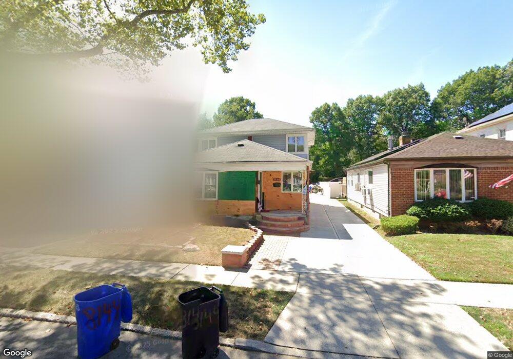
8144 242nd St Bellerose, NY 11426
Bellerose NeighborhoodEstimated Value: $934,000 - $1,167,939
--
Bed
--
Bath
2,240
Sq Ft
$471/Sq Ft
Est. Value
About This Home
This home is located at 8144 242nd St, Bellerose, NY 11426 and is currently estimated at $1,054,735, approximately $470 per square foot. 8144 242nd St is a home located in Queens County with nearby schools including Fremont/Hay Elementary School, P.S. 18 Q The Winchester School, and Shasta Middle School.
Ownership History
Date
Name
Owned For
Owner Type
Purchase Details
Closed on
Oct 20, 2011
Sold by
Locicero Richard J
Bought by
Mazarul Shamila
Current Estimated Value
Home Financials for this Owner
Home Financials are based on the most recent Mortgage that was taken out on this home.
Original Mortgage
$250,000
Outstanding Balance
$170,510
Interest Rate
4.1%
Mortgage Type
Purchase Money Mortgage
Estimated Equity
$884,225
Purchase Details
Closed on
Aug 1, 2001
Sold by
Locicero Marie A
Bought by
Sarno Veronica Anne and Locicero Richard J
Create a Home Valuation Report for This Property
The Home Valuation Report is an in-depth analysis detailing your home's value as well as a comparison with similar homes in the area
Home Values in the Area
Average Home Value in this Area
Purchase History
| Date | Buyer | Sale Price | Title Company |
|---|---|---|---|
| Mazarul Shamila | $570,000 | -- | |
| Sarno Veronica Anne | -- | -- |
Source: Public Records
Mortgage History
| Date | Status | Borrower | Loan Amount |
|---|---|---|---|
| Open | Mazarul Shamila | $250,000 |
Source: Public Records
Tax History Compared to Growth
Tax History
| Year | Tax Paid | Tax Assessment Tax Assessment Total Assessment is a certain percentage of the fair market value that is determined by local assessors to be the total taxable value of land and additions on the property. | Land | Improvement |
|---|---|---|---|---|
| 2025 | $9,449 | $51,353 | $12,941 | $38,412 |
| 2024 | $9,730 | $48,446 | $13,441 | $35,005 |
| 2023 | $8,417 | $45,706 | $13,266 | $32,440 |
| 2022 | $8,465 | $54,420 | $16,980 | $37,440 |
| 2021 | $8,887 | $48,780 | $16,980 | $31,800 |
| 2020 | $8,399 | $43,560 | $16,980 | $26,580 |
| 2019 | $7,786 | $46,560 | $16,980 | $29,580 |
| 2018 | $7,105 | $38,088 | $11,884 | $26,204 |
| 2017 | $7,118 | $38,088 | $13,872 | $24,216 |
| 2016 | $6,936 | $38,088 | $13,872 | $24,216 |
| 2015 | $4,116 | $35,662 | $16,229 | $19,433 |
| 2014 | $4,116 | $33,644 | $16,795 | $16,849 |
Source: Public Records
Map
Nearby Homes
- 81-27 242nd St
- 82-08 247th St
- 247-41 77th Crescent Unit B
- 8127 247th St
- 245-23B Union Turnpike Unit G3C
- 81-24 248th St
- 83-27 Commonwealth Blvd
- 8023 247th St
- 83-17 247th St
- 8344 247th St
- 81-42 250th St
- 23913 86th Ave
- 83-46 248th St
- 245-31 76th Ave Unit 31B
- 245-44 76th Ave Unit 1st fl
- 80-01 249th St
- 250-12 81st Ave
- 241-10 86th Ave
- 84-17 247th St
- 82-16 251st St