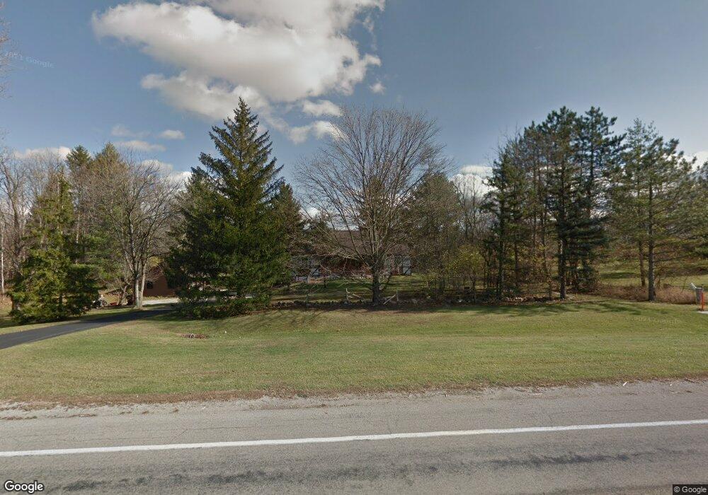
8145 S State Route 201 New Carlisle, OH 45344
Estimated Value: $352,000 - $430,000
4
Beds
3
Baths
2,082
Sq Ft
$192/Sq Ft
Est. Value
About This Home
This home is located at 8145 S State Route 201, New Carlisle, OH 45344 and is currently estimated at $399,431, approximately $191 per square foot. 8145 S State Route 201 is a home located in Miami County with nearby schools including Bethel Elementary School, Bethel Middle School, and Bethel High School.
Ownership History
Date
Name
Owned For
Owner Type
Purchase Details
Closed on
Feb 3, 2016
Sold by
Pytel Leonard R and Pytel Miriam A
Bought by
Hawthorn Laura A and The Pytel Keystone Preservatio
Current Estimated Value
Purchase Details
Closed on
Feb 20, 2008
Sold by
Pytel Leonard R
Bought by
Pytel Leonard R and Pytel Miriam A
Purchase Details
Closed on
Jan 1, 1990
Bought by
Miriam A Pytel
Create a Home Valuation Report for This Property
The Home Valuation Report is an in-depth analysis detailing your home's value as well as a comparison with similar homes in the area
Home Values in the Area
Average Home Value in this Area
Purchase History
| Date | Buyer | Sale Price | Title Company |
|---|---|---|---|
| Hawthorn Laura A | -- | Attorney | |
| Pytel Leonard R | -- | -- | |
| Miriam A Pytel | -- | -- |
Source: Public Records
Tax History Compared to Growth
Tax History
| Year | Tax Paid | Tax Assessment Tax Assessment Total Assessment is a certain percentage of the fair market value that is determined by local assessors to be the total taxable value of land and additions on the property. | Land | Improvement |
|---|---|---|---|---|
| 2024 | $4,456 | $102,450 | $52,890 | $49,560 |
| 2023 | $4,456 | $102,450 | $52,890 | $49,560 |
| 2022 | $4,458 | $102,450 | $52,890 | $49,560 |
| 2021 | $3,917 | $85,370 | $44,070 | $41,300 |
| 2020 | $3,894 | $85,370 | $44,070 | $41,300 |
| 2019 | $3,939 | $85,370 | $44,070 | $41,300 |
| 2018 | $3,459 | $71,820 | $31,010 | $40,810 |
| 2017 | $3,463 | $71,820 | $31,010 | $40,810 |
| 2016 | $3,122 | $71,820 | $31,010 | $40,810 |
| 2015 | $3,091 | $69,060 | $29,820 | $39,240 |
| 2014 | $3,091 | $69,060 | $29,820 | $39,240 |
| 2013 | $2,625 | $69,060 | $29,820 | $39,240 |
Source: Public Records
Map
Nearby Homes
- 6780 E Walnut St
- 7085 Dayton Brandt Rd
- 7032 Honeylocust St
- 9185 S Mann Rd
- 6445 Heffner Rd
- 9705 E Haskett Ln
- 6764 Bethelville Dr
- 8845 Flick Rd
- 7337 Ross Rd
- 4146 Spicebush Dr
- 4076 Spicebush Dr
- 3535 Arrowwood St
- 3505 Arrowwood St
- 1235 Gable Way
- 1239 Gable Way
- The Rosewood Plan at Gables of Huber Heights
- The Gable Plan at Gables of Huber Heights
- The Cedar Plan at Gables of Huber Heights
- 2024 Cedar Lake Dr
- 2036 Cedar Lake Dr
- 8177 S State Route 201
- 8105 S State Route 201
- 8182 S State Route 201
- 8270 S State Route 201
- 8205 S State Route 201
- 7040 Ross Rd
- 7070 Ross Rd
- 8255 State Route 201
- 7120 Ross Rd
- 6990 Ross Rd
- 8283 S State Route 201
- 8290 S State Route 201
- 7180 Ross Rd
- 7105 Ross Rd
- 6955 Ross Rd
- 7970 State Route 201
- 8326 State Route 201
- 7143 Ross Rd
- 6925 Ross Rd
- 7220 Ross Rd