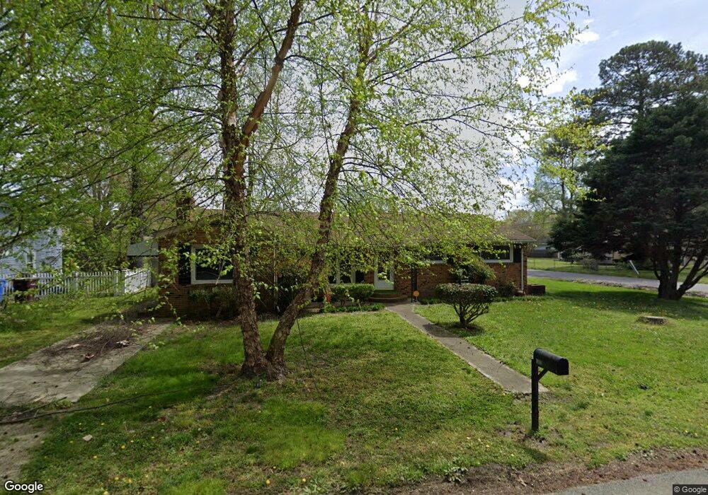
815 Buck St Chesapeake, VA 23323
Deep Creek NeighborhoodEstimated Value: $314,000 - $335,000
3
Beds
2
Baths
1,670
Sq Ft
$196/Sq Ft
Est. Value
About This Home
This home is located at 815 Buck St, Chesapeake, VA 23323 and is currently estimated at $327,181, approximately $195 per square foot. 815 Buck St is a home located in Chesapeake City with nearby schools including Deep Creek Elementary School, Deep Creek Middle School, and Deep Creek High.
Ownership History
Date
Name
Owned For
Owner Type
Purchase Details
Closed on
Apr 20, 2001
Sold by
Sec Of H U D
Bought by
Phillips Timothy W
Current Estimated Value
Home Financials for this Owner
Home Financials are based on the most recent Mortgage that was taken out on this home.
Original Mortgage
$83,132
Outstanding Balance
$30,258
Interest Rate
6.85%
Estimated Equity
$296,923
Purchase Details
Closed on
Jan 18, 2001
Sold by
Willcox Edward
Bought by
Sec Housing And Urban Dev
Create a Home Valuation Report for This Property
The Home Valuation Report is an in-depth analysis detailing your home's value as well as a comparison with similar homes in the area
Home Values in the Area
Average Home Value in this Area
Purchase History
| Date | Buyer | Sale Price | Title Company |
|---|---|---|---|
| Phillips Timothy W | $79,500 | -- | |
| Sec Housing And Urban Dev | $85,000 | -- |
Source: Public Records
Mortgage History
| Date | Status | Borrower | Loan Amount |
|---|---|---|---|
| Open | Phillips Timothy W | $83,132 |
Source: Public Records
Tax History Compared to Growth
Tax History
| Year | Tax Paid | Tax Assessment Tax Assessment Total Assessment is a certain percentage of the fair market value that is determined by local assessors to be the total taxable value of land and additions on the property. | Land | Improvement |
|---|---|---|---|---|
| 2025 | $2,812 | $278,700 | $120,000 | $158,700 |
| 2024 | $2,812 | $278,400 | $110,000 | $168,400 |
| 2023 | $2,385 | $262,400 | $100,000 | $162,400 |
| 2022 | $2,413 | $238,900 | $85,000 | $153,900 |
| 2021 | $2,062 | $196,400 | $70,000 | $126,400 |
| 2020 | $1,993 | $189,800 | $65,000 | $124,800 |
| 2019 | $1,949 | $185,600 | $65,000 | $120,600 |
| 2018 | $1,906 | $191,200 | $65,000 | $126,200 |
| 2017 | $2,008 | $191,200 | $65,000 | $126,200 |
| 2016 | $1,945 | $185,200 | $65,000 | $120,200 |
| 2015 | $1,945 | $185,200 | $65,000 | $120,200 |
| 2014 | $1,960 | $186,700 | $65,000 | $121,700 |
Source: Public Records
Map
Nearby Homes
- 2249 Tennessee Dr
- 2404 Livesay Rd
- 604 Treemont Ct
- 805 Glen Oak Cove
- Swan Plan at Shell Place
- Sandpiper Plan at Shell Place
- Pelican Plan at Shell Place
- Gannett Plan at Shell Place
- 928 Michael Dr
- 1400 Winslow Ave
- 2036 Maywood St
- 601 Wooddale Ct
- 708 Glen Oak Crossing
- 2800 Gavin Rd Unit 18
- 1463 Rivers Edge Trace
- 1435 Winslow Ave
- 2817 Camelot Blvd
- 309 Paperbark Trail
- 1444 Culpepper Ave
- 1525 Shell Rd
- 817 Buck St
- 2252 Tennessee Dr
- 2257 Tennessee Dr
- 2250 Tennessee Dr
- 2248 Tennessee Dr
- 2241 Iowa St
- 2237 Iowa St
- 2242 Tennessee Dr
- 2245 Tennessee Dr
- 2235 Iowa St
- 2242 Iowa St
- 2242 Iowa St Unit B
- 2242 Iowa St Unit A
- 2240 Tennessee Dr
- 2233 Iowa St
- 2241 Tennessee Dr
- 2231 Iowa St
- 2236B Iowa St
- 2240 Iowa St
- 2237 Tennessee Dr