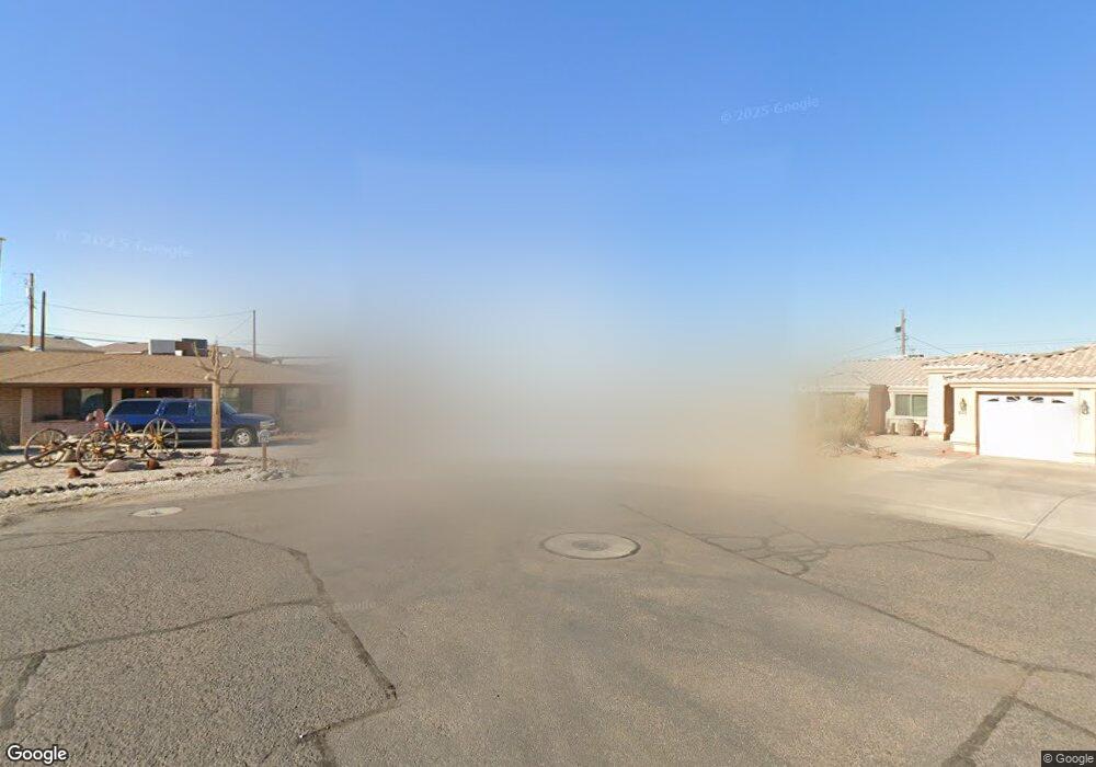
815 Fern Ln Lake Havasu City, AZ 86403
Estimated Value: $408,000 - $513,000
--
Bed
1
Bath
1,295
Sq Ft
$354/Sq Ft
Est. Value
About This Home
This home is located at 815 Fern Ln, Lake Havasu City, AZ 86403 and is currently estimated at $458,585, approximately $354 per square foot. 815 Fern Ln is a home located in Mohave County with nearby schools including Smoketree Elementary School, Thunderbolt Middle School, and Lake Havasu High School.
Ownership History
Date
Name
Owned For
Owner Type
Purchase Details
Closed on
Aug 27, 2002
Sold by
Diamondback Enterprises Inc
Bought by
Fernandez David J and Fernandez Anita J
Current Estimated Value
Home Financials for this Owner
Home Financials are based on the most recent Mortgage that was taken out on this home.
Original Mortgage
$96,200
Interest Rate
5.93%
Mortgage Type
New Conventional
Purchase Details
Closed on
Feb 7, 2002
Sold by
Rados Milan and Rados Mary
Bought by
Diamondback Enterprises Inc
Create a Home Valuation Report for This Property
The Home Valuation Report is an in-depth analysis detailing your home's value as well as a comparison with similar homes in the area
Home Values in the Area
Average Home Value in this Area
Purchase History
| Date | Buyer | Sale Price | Title Company |
|---|---|---|---|
| Fernandez David J | $106,900 | Chicago Title Insurance Co | |
| Diamondback Enterprises Inc | $12,750 | Chicago Title Insurance Co |
Source: Public Records
Mortgage History
| Date | Status | Borrower | Loan Amount |
|---|---|---|---|
| Previous Owner | Fernandez David J | $96,200 |
Source: Public Records
Tax History Compared to Growth
Tax History
| Year | Tax Paid | Tax Assessment Tax Assessment Total Assessment is a certain percentage of the fair market value that is determined by local assessors to be the total taxable value of land and additions on the property. | Land | Improvement |
|---|---|---|---|---|
| 2026 | $572 | -- | -- | -- |
| 2025 | $1,159 | $40,140 | $0 | $0 |
| 2024 | $1,159 | $36,299 | $0 | $0 |
| 2023 | $1,159 | $31,512 | $0 | $0 |
| 2022 | $1,116 | $21,890 | $0 | $0 |
| 2021 | $1,300 | $20,438 | $0 | $0 |
| 2019 | $1,459 | $17,487 | $0 | $0 |
| 2018 | $1,411 | $16,144 | $0 | $0 |
| 2017 | $1,397 | $15,425 | $0 | $0 |
| 2016 | $1,268 | $14,410 | $0 | $0 |
| 2015 | $1,216 | $12,438 | $0 | $0 |
Source: Public Records
Map
Nearby Homes
- 1911 Holly Ave
- 1901 Holly Ave
- 1541 Holly Ave
- 2100 Chaparral Dr
- 2090 San Juan Dr
- 2257 Barranca Dr
- 2162 Runabout Dr
- 2030 Commander Dr
- 2091 Holly Ave
- 2285 Pennant Ln
- 2301 Sahara Dr
- 2183 Runabout Dr
- 2021 Industrial
- 2264 Barranca Dr
- 2272 Barranca Dr
- 1986 Bahama Ave
- 2200 Clarke Dr
- 2148 Sandwood Dr
- 2050 Kiowa Blvd N
- 640 Acoma Blvd N
- 825 Fern Ln
- 810 Fern Ln
- 2146 San Juan Dr
- 2154 San Juan Dr
- 2138 San Juan Dr
- 2162 San Juan Dr
- 2153 Chaparral Dr
- 2145 Chaparral Dr
- 2153 Chaparral Dr
- 2130 San Juan Dr
- 2161 Chaparral Dr
- 830 Fern Ln
- 845 Fern Ln
- 2129 Chaparral Dr
- 2170 San Juan Dr
- 2145 San Juan Dr
- 2122 San Juan Dr
- 2153 San Juan Dr
- 840 Fern Ln
- 2137 San Juan Dr