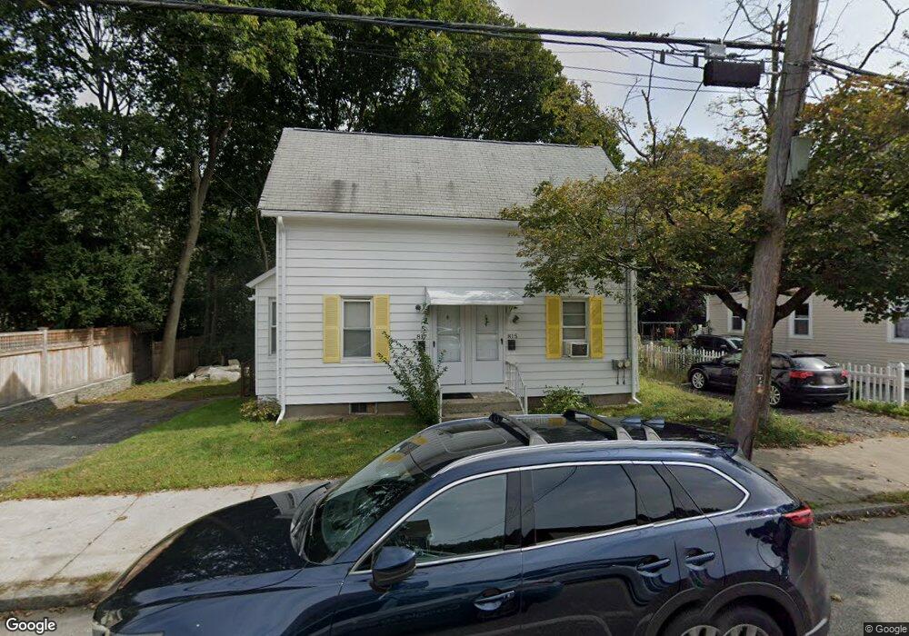
815 Main St Unit 817 Winchester, MA 01890
Estimated Value: $862,018 - $1,100,000
4
Beds
2
Baths
1,535
Sq Ft
$621/Sq Ft
Est. Value
About This Home
This home is located at 815 Main St Unit 817, Winchester, MA 01890 and is currently estimated at $953,255, approximately $621 per square foot. 815 Main St Unit 817 is a home located in Middlesex County with nearby schools including Lynch Elementary School, McCall Middle School, and Winchester High School.
Ownership History
Date
Name
Owned For
Owner Type
Purchase Details
Closed on
Jul 26, 2021
Sold by
Macarthy Robert and Macarthy Debra
Bought by
Robert G Macarthy Ft
Current Estimated Value
Purchase Details
Closed on
May 15, 1996
Sold by
Macarthy Susan J
Bought by
Macarthy Robert and Mccarthy Debra
Home Financials for this Owner
Home Financials are based on the most recent Mortgage that was taken out on this home.
Original Mortgage
$120,000
Interest Rate
7.77%
Mortgage Type
Purchase Money Mortgage
Create a Home Valuation Report for This Property
The Home Valuation Report is an in-depth analysis detailing your home's value as well as a comparison with similar homes in the area
Home Values in the Area
Average Home Value in this Area
Purchase History
| Date | Buyer | Sale Price | Title Company |
|---|---|---|---|
| Robert G Macarthy Ft | -- | None Available | |
| Macarthy Robert | $160,000 | -- |
Source: Public Records
Mortgage History
| Date | Status | Borrower | Loan Amount |
|---|---|---|---|
| Previous Owner | Macarthy Robert | $120,000 |
Source: Public Records
Tax History Compared to Growth
Tax History
| Year | Tax Paid | Tax Assessment Tax Assessment Total Assessment is a certain percentage of the fair market value that is determined by local assessors to be the total taxable value of land and additions on the property. | Land | Improvement |
|---|---|---|---|---|
| 2025 | $87 | $781,300 | $454,200 | $327,100 |
| 2024 | $8,768 | $773,900 | $454,200 | $319,700 |
| 2023 | $8,374 | $709,700 | $397,400 | $312,300 |
| 2022 | $7,801 | $623,600 | $340,600 | $283,000 |
| 2021 | $7,633 | $594,900 | $319,300 | $275,600 |
| 2020 | $7,154 | $577,400 | $319,300 | $258,100 |
| 2019 | $5,598 | $462,300 | $230,600 | $231,700 |
| 2018 | $5,567 | $456,700 | $225,000 | $231,700 |
| 2017 | $5,608 | $456,700 | $225,000 | $231,700 |
| 2016 | $5,010 | $428,900 | $225,000 | $203,900 |
| 2015 | $4,957 | $408,300 | $204,400 | $203,900 |
| 2014 | $4,737 | $374,200 | $170,300 | $203,900 |
Source: Public Records
Map
Nearby Homes
- 200 Swanton St Unit 228
- 200 Swanton St Unit 636
- 200 Swanton St Unit 234
- 200 Swanton St Unit T28
- 200 Swanton St Unit 630
- 237 Swanton St
- 62 Richardson St
- 20 Arthur St
- 29 Shepard Ct
- 171 Swanton St Unit 73
- 666 Main St Unit 312
- 666 Main St Unit 315
- 95 Irving St
- 46-48 Swanton St
- 32 Oak St
- 149 Horn Pond Brook Rd
- 13 Nelson St
- 18 Raymond Place
- 14 Cross St
- 209 Washington St
- 809 Main St Unit 811
- 823 Main St
- 811 Main St Unit 811
- 811 Main St
- 824 Main St
- 812 Main St Unit 814
- 807 Main St
- 808 Main St
- 808-810 Main St
- 831 Main St Unit 2R
- 831 Main St
- 805 Main St
- 15 Clark St Unit 17
- 15 Clark St Unit 15
- 7 Salem St
- 834 Main St
- 834 Main St Unit 834
- 834 Main St
- 834 Main St Unit 2
- 17 Clark St Unit 17