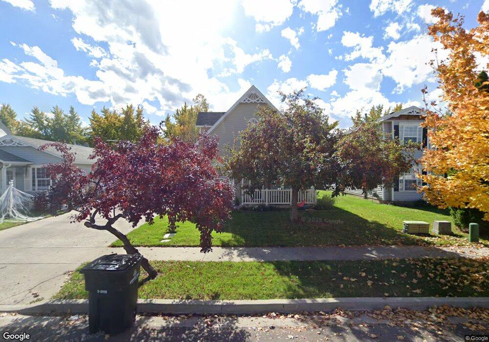
815 W 60 N Spanish Fork, UT 84660
Estimated Value: $411,000 - $464,000
4
Beds
2
Baths
1,672
Sq Ft
$262/Sq Ft
Est. Value
About This Home
This home is located at 815 W 60 N, Spanish Fork, UT 84660 and is currently estimated at $437,857, approximately $261 per square foot. 815 W 60 N is a home located in Utah County with nearby schools including Brockbank Elementary School, Spanish Fork Jr High School, and Spanish Fork High School.
Ownership History
Date
Name
Owned For
Owner Type
Purchase Details
Closed on
Mar 7, 2012
Sold by
Braun Deanne
Bought by
Braun Clara Deanne
Current Estimated Value
Purchase Details
Closed on
May 4, 1998
Sold by
Pickering Cody and Pickering Amber
Bought by
Braun Scott and Braun Deanne
Home Financials for this Owner
Home Financials are based on the most recent Mortgage that was taken out on this home.
Original Mortgage
$99,847
Outstanding Balance
$19,442
Interest Rate
7.06%
Mortgage Type
FHA
Estimated Equity
$418,415
Purchase Details
Closed on
Jul 26, 1996
Sold by
Salisbury Development L C
Bought by
Pickering Cody and Pickering Amber
Home Financials for this Owner
Home Financials are based on the most recent Mortgage that was taken out on this home.
Original Mortgage
$85,400
Interest Rate
8.39%
Create a Home Valuation Report for This Property
The Home Valuation Report is an in-depth analysis detailing your home's value as well as a comparison with similar homes in the area
Home Values in the Area
Average Home Value in this Area
Purchase History
| Date | Buyer | Sale Price | Title Company |
|---|---|---|---|
| Braun Clara Deanne | -- | None Available | |
| Braun Scott | -- | -- | |
| Pickering Cody | -- | Provo Land Title |
Source: Public Records
Mortgage History
| Date | Status | Borrower | Loan Amount |
|---|---|---|---|
| Open | Braun Scott | $99,847 | |
| Previous Owner | Pickering Cody | $85,400 |
Source: Public Records
Tax History Compared to Growth
Tax History
| Year | Tax Paid | Tax Assessment Tax Assessment Total Assessment is a certain percentage of the fair market value that is determined by local assessors to be the total taxable value of land and additions on the property. | Land | Improvement |
|---|---|---|---|---|
| 2025 | $1,848 | $202,730 | $141,900 | $226,700 |
| 2024 | $1,848 | $190,465 | $0 | $0 |
| 2023 | $1,891 | $195,085 | $0 | $0 |
| 2022 | $1,826 | $184,800 | $0 | $0 |
| 2021 | $1,565 | $253,300 | $84,700 | $168,600 |
| 2020 | $1,481 | $233,100 | $77,000 | $156,100 |
| 2019 | $1,371 | $227,100 | $71,000 | $156,100 |
| 2018 | $1,271 | $203,500 | $63,700 | $139,800 |
| 2017 | $1,147 | $98,725 | $0 | $0 |
| 2016 | $1,070 | $90,805 | $0 | $0 |
| 2015 | $1,059 | $88,825 | $0 | $0 |
| 2014 | $970 | $81,675 | $0 | $0 |
Source: Public Records
Map
Nearby Homes
- 13 N 710 W
- 1040 W Center St
- 226 N 860 W Unit 156
- 833 W 250 N
- 956 W 40 N
- 1788 N 630 St W Unit 47
- 1826 N 630 St W Unit 101
- 1841 N 630 St W Unit 71
- 231 S 880 W
- 88 S 400 W
- 1026 W 350 S
- 2645 W 360 S Unit 1
- 2576 W 360 S Unit 5
- 134 N 300 W
- 393 N 400 W
- 294 W 200 N
- 333 S 1170 W
- 501 S 880 W
- 559 N Mitchell Dr
- 1299 W 250 S