Estimated Value: $588,000 - $930,087
Studio
--
Bath
2,392
Sq Ft
$305/Sq Ft
Est. Value
About This Home
This home is located at 8150 E 850 S, Kanab, UT 84741 and is currently estimated at $728,696, approximately $304 per square foot. 8150 E 850 S is a home with nearby schools including Kanab Elementary School, Kanab Middle School, and Kanab High School.
Ownership History
Date
Name
Owned For
Owner Type
Purchase Details
Closed on
Dec 30, 2021
Sold by
Campbell Geoffery Dean
Bought by
Robertson William D and Robertson Kathryn G
Current Estimated Value
Purchase Details
Closed on
Nov 18, 2014
Sold by
Cecil Cecil and Campbell Robin
Bought by
Campbell Cecil D and Campbell Robin J
Purchase Details
Closed on
Aug 10, 2012
Sold by
Campbell Cecil and Campbell Robin
Bought by
Campbell Cecil and Campbell Robin
Home Financials for this Owner
Home Financials are based on the most recent Mortgage that was taken out on this home.
Original Mortgage
$176,300
Interest Rate
3.62%
Purchase Details
Closed on
Jul 13, 2009
Sold by
Mers
Bought by
Mountain America Federal Credit Union
Purchase Details
Closed on
Jul 28, 2005
Sold by
Glover Michael L
Bought by
Campbell Cecil and Campbell Robin
Create a Home Valuation Report for This Property
The Home Valuation Report is an in-depth analysis detailing your home's value as well as a comparison with similar homes in the area
Purchase History
| Date | Buyer | Sale Price | Title Company |
|---|---|---|---|
| Robertson William D | -- | -- | |
| Campbell Cecil D | -- | -- | |
| Campbell Cecil | -- | -- | |
| Mountain America Federal Credit Union | -- | -- | |
| Campbell Cecil | -- | -- |
Source: Public Records
Mortgage History
| Date | Status | Borrower | Loan Amount |
|---|---|---|---|
| Previous Owner | Campbell Cecil | $176,300 |
Source: Public Records
Tax History
| Year | Tax Paid | Tax Assessment Tax Assessment Total Assessment is a certain percentage of the fair market value that is determined by local assessors to be the total taxable value of land and additions on the property. | Land | Improvement |
|---|---|---|---|---|
| 2025 | $1,895 | $651,822 | $227,347 | $424,475 |
| 2024 | $1,732 | $339,519 | $129,931 | $209,588 |
| 2023 | $1,506 | $320,466 | $129,931 | $190,535 |
| 2022 | $1,621 | $305,207 | $123,744 | $181,463 |
| 2021 | $1,266 | $377,596 | $173,075 | $204,521 |
| 2020 | $1,249 | $349,518 | $150,500 | $199,018 |
| 2019 | $1,284 | $349,518 | $150,500 | $199,018 |
| 2018 | $5 | $349,518 | $150,500 | $199,018 |
| 2017 | $1,354 | $349,518 | $150,500 | $199,018 |
| 2016 | $1,392 | $349,518 | $150,500 | $199,018 |
| 2015 | $6 | $454,265 | $245,511 | $208,754 |
| 2014 | $6 | $454,265 | $245,511 | $208,754 |
| 2013 | -- | $135,797 | $0 | $0 |
Source: Public Records
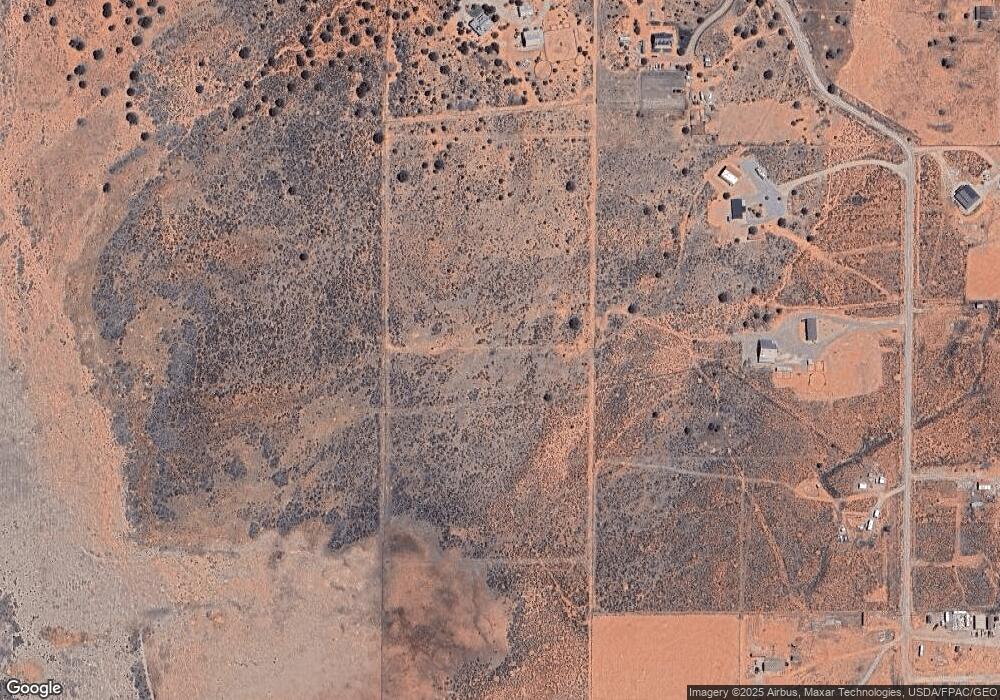
Map
Nearby Homes
- 0 None Unit 1408648
- 205 Copper Ridge Rd
- 235 Copper Ridge Rd
- 1120 Bryce Canyon Way
- 6178 Zion Rd
- 6178 E Zion Rd
- 6201 Monument Road (Casita)
- 1220 Monument Rd
- 6026 Zion Rd
- 6026 E Zion Rd
- 5615 E Eight Mile Gap Rd
- Lot 20 Lone Spur
- Lot 19 Lone Spur
- Lot 11 Lone Spur
- Lot 8 Rowel
- Lot 9 Rowel
- Lot 10 Rowel
- Lot 7 Rowel
- Lot 6 Rowel
- 5120 Grande Vermillion Ave
- 1558 S East Creekside Dr
- 1621 S East Creekside Dr Unit 35
- 1589 S East Creekside Dr
- 1583 S East Creekside Dr
- 1635 S East Creekside Dr
- 1543 S East Creekside Dr
- 1575 S East Creekside Dr
- 1567 S East Creekside Dr
- 1533 S East Creekside Dr
- 1523 S East Creekside Dr
- 1675 S East Creekside Dr Unit 40
- 1669 S East Creekside Dr Unit 39
- 1663 S East Creekside Dr Unit 38
- 1635 S East Creekside Dr Unit 36
- 1621 S East Creekside Dr Unit 35
- 1649 S East Creekside Dr Unit 37
- 1566 S East Creekside Dr
- 1566 S East Creekside Dr Unit 67
- 368 W East Creekside Dr Unit 42
- 1580 S Dry Farm Rd
Your Personal Tour Guide
Ask me questions while you tour the home.