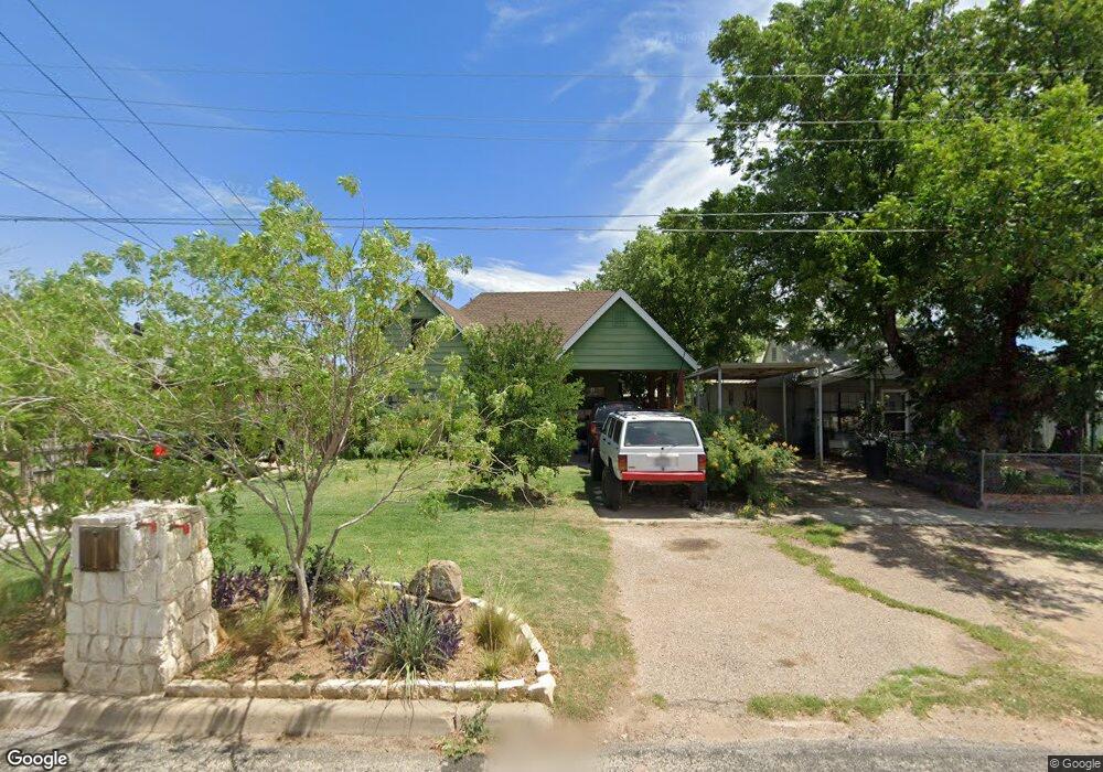
816 Baker St San Angelo, TX 76903
Fort Concho NeighborhoodEstimated Value: $144,000 - $201,000
4
Beds
3
Baths
1,700
Sq Ft
$94/Sq Ft
Est. Value
About This Home
This home is located at 816 Baker St, San Angelo, TX 76903 and is currently estimated at $160,351, approximately $94 per square foot. 816 Baker St is a home located in Tom Green County with nearby schools including Ft. Concho Elementary School, Glenn Middle School, and Central High School.
Ownership History
Date
Name
Owned For
Owner Type
Purchase Details
Closed on
Apr 30, 2010
Sold by
Lopez Maria Guadalupe
Bought by
Daniels Paul B and Sandy Jo
Current Estimated Value
Purchase Details
Closed on
Jul 2, 2008
Sold by
Lopez Anthony
Bought by
Lopez Maria Guadalupe
Home Financials for this Owner
Home Financials are based on the most recent Mortgage that was taken out on this home.
Original Mortgage
$41,850
Interest Rate
5.99%
Mortgage Type
Assumption
Purchase Details
Closed on
Dec 14, 1999
Sold by
Sifuentes Efrain and Sifuentes Marie
Bought by
Daniels Paul B and Sandy Jo
Purchase Details
Closed on
Feb 19, 1998
Sold by
Garrett James O and Garrett Marie L
Bought by
Daniels Paul B and Sandy Jo
Create a Home Valuation Report for This Property
The Home Valuation Report is an in-depth analysis detailing your home's value as well as a comparison with similar homes in the area
Home Values in the Area
Average Home Value in this Area
Purchase History
| Date | Buyer | Sale Price | Title Company |
|---|---|---|---|
| Daniels Paul B | -- | -- | |
| Lopez Maria Guadalupe | -- | None Available | |
| Daniels Paul B | -- | -- | |
| Daniels Paul B | -- | -- |
Source: Public Records
Mortgage History
| Date | Status | Borrower | Loan Amount |
|---|---|---|---|
| Previous Owner | Lopez Maria Guadalupe | $41,850 |
Source: Public Records
Tax History Compared to Growth
Tax History
| Year | Tax Paid | Tax Assessment Tax Assessment Total Assessment is a certain percentage of the fair market value that is determined by local assessors to be the total taxable value of land and additions on the property. | Land | Improvement |
|---|---|---|---|---|
| 2025 | $832 | $171,750 | $39,620 | $132,130 |
| 2024 | $791 | $137,040 | $39,620 | $97,420 |
| 2023 | $753 | $157,010 | $59,430 | $97,580 |
| 2022 | $1,199 | $122,250 | $21,870 | $100,380 |
| 2021 | $2,011 | $82,210 | $0 | $0 |
| 2020 | $2,020 | $82,210 | $5,000 | $77,210 |
| 2019 | $2,081 | $82,210 | $5,000 | $77,210 |
| 2018 | $2,055 | $81,500 | $5,000 | $76,500 |
| 2017 | $2,002 | $79,800 | $5,000 | $74,800 |
| 2016 | $2,000 | $79,800 | $5,000 | $74,800 |
| 2015 | $1,322 | $79,240 | $5,000 | $74,240 |
| 2014 | $1,316 | $65,420 | $5,000 | $60,420 |
| 2013 | $1,180 | $59,500 | $0 | $0 |
Source: Public Records
Map
Nearby Homes
- 626 Parsons St
- 625 Powell St
- 1334 Tres Rios Cir
- 1242 Tres Rios Dr
- 210 S Baze St Unit 3
- 206 S Baze St Unit 2
- 1518 Mayse St
- 1129 Todd Ln
- 1218 Toby Ln
- 110 Estella Dr
- 124 Bird St
- 1517 Culberson St
- 0 Allen St Unit 6
- 1516 E Harris Ave
- 98 Belaire Ave
- 812 E Harris Ave
- 136 Michael St
- 1209 S Bell St
- 315 Kistler Ave
- 317 Van Zandt St