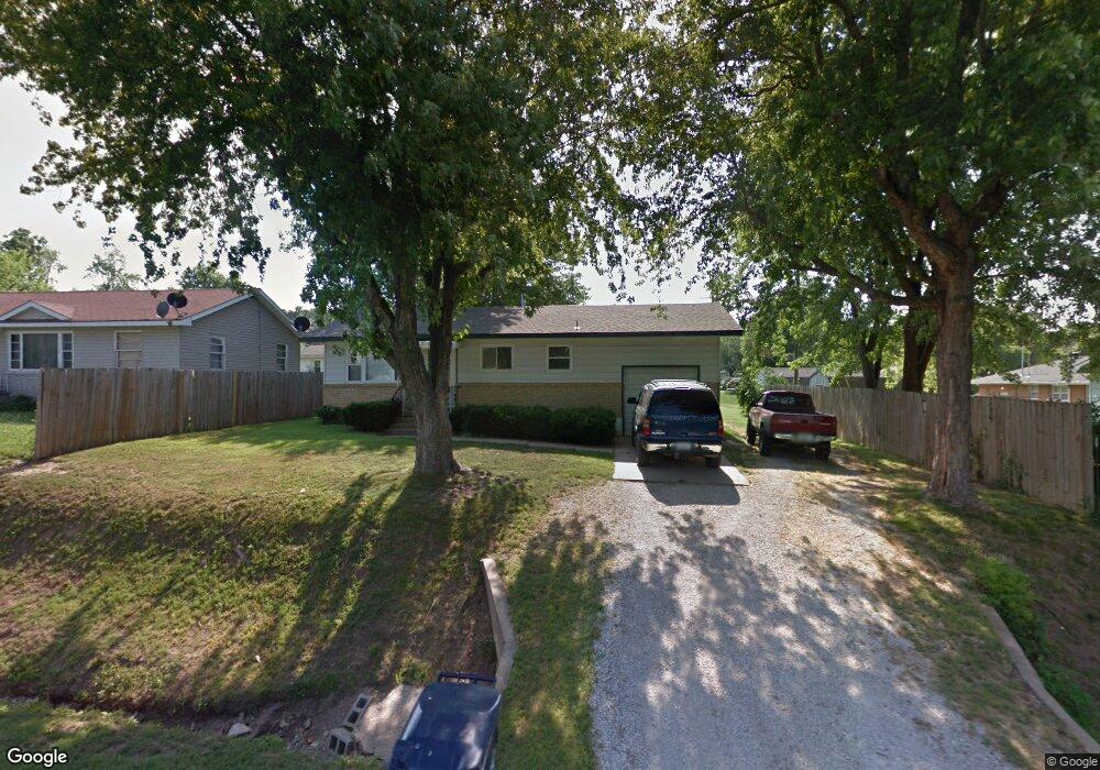
816 Freeman Rd Neosho, MO 64850
Estimated Value: $115,000 - $139,413
About This Home
This home is located at 816 Freeman Rd, Neosho, MO 64850 and is currently estimated at $126,353, approximately $148 per square foot. 816 Freeman Rd is a home located in Newton County with nearby schools including Neosho High School, Ozark Christian Academy, and Neosho Christian Schools.
Ownership History
We collect this data history from publicly available records. To have your information removed, we recommend requesting removal directly through your county’s website.
Purchase Details
Home Financials for this Owner
Home Financials are based on the most recent Mortgage that was taken out on this home.Home Values in the Area
Average Home Value in this Area
Purchase History
We collect this data history from publicly available records. To have your information removed, we recommend requesting removal directly through your county’s website.
| Date | Buyer | Sale Price | Title Company |
|---|---|---|---|
| -- | None Listed On Document |
Mortgage History
We collect this data history from publicly available records. To have your information removed, we recommend requesting removal directly through your county’s website.
| Date | Status | Borrower | Loan Amount |
|---|---|---|---|
| Open | $98,188 |
Tax History
We collect this data history from publicly available records. To have your information removed, we recommend requesting removal directly through your county’s website.
| Year | Tax Paid | Tax Assessment Tax Assessment Total Assessment is a certain percentage of the fair market value that is determined by local assessors to be the total taxable value of land and additions on the property. | Land | Improvement |
|---|---|---|---|---|
| 2025 | $444 | $8,070 | -- | -- |
| 2024 | $443 | $8,070 | -- | -- |
| 2023 | $443 | $8,070 | $1,310 | $6,760 |
| 2022 | $443 | $8,060 | -- | -- |
| 2021 | $442 | $8,060 | $0 | $0 |
| 2020 | $414 | $7,580 | $0 | $0 |
| 2019 | $377 | $7,580 | $0 | $0 |
| 2018 | $425 | $7,140 | $0 | $0 |
| 2017 | $352 | $7,140 | $0 | $0 |
| 2016 | $352 | $7,010 | $0 | $0 |
| 2015 | -- | $7,010 | $0 | $0 |
| 2014 | -- | $6,210 | $0 | $0 |
Map
- 710 Freeman Rd
- 712 Pearl St
- 620 Jackson Ave
- 801 Riverside Dr
- 422 Freeman Rd
- 518 Joplin St
- 823 Hearrell Ave
- 1301 Fox Ridge Ln
- Lot 53 Justin's Trail Rd
- Lot 52 Justin's Trail Rd
- 421 E Mckinney St
- 1301 Benton Ave
- 1305 Benton Ave
- 414 E Glenview St
- 718 Gibson Ave
- 589 Barton Place
- 220 E Mckinney St
- 215 E Mckinney St
- TBD Unit Lots 2-10
- 2008 Sally Ann Ave
- 730 Windsor Ct
- 728 Windsor Ct
- 800 Windsor Ct
- 802 Windsor Ct
- 726 Windsor Ct
- 804 Freeman Rd
- 804 Kentland Dr
- 736 Cherry St
- 704 Freeman Rd
- 735 Cherry St
- 805 Stratford Place
- 811 Stratford Place
- 812 Kentland Dr
- 702 Freeman Rd
- 821 Stratford Place
- 828 Warwick Ct
- 830 Warwick Ct
- 826 Warwick Ct
- 818 Kentland Dr
- 824 Freeman Rd
Ask me questions while you tour the home.