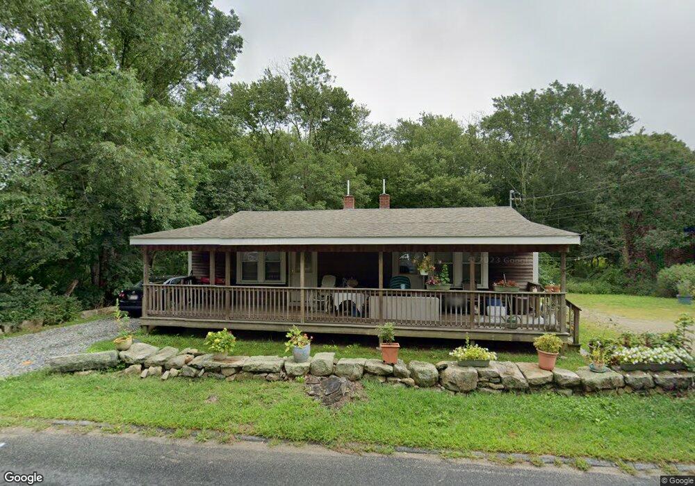
816 Gifford Rd Westport, MA 02790
Head of Westport NeighborhoodEstimated Value: $358,000 - $404,000
2
Beds
--
Bath
1,008
Sq Ft
$384/Sq Ft
Est. Value
About This Home
This home is located at 816 Gifford Rd, Westport, MA 02790 and is currently estimated at $387,372, approximately $384 per square foot. 816 Gifford Rd is a home located in Bristol County with nearby schools including Alice A. Macomber Primary School, Westport Elementary School, and Westport Middle-High School.
Ownership History
Date
Name
Owned For
Owner Type
Purchase Details
Closed on
Aug 28, 2003
Sold by
Oliver Ernest
Bought by
Barreira Timothy L
Current Estimated Value
Home Financials for this Owner
Home Financials are based on the most recent Mortgage that was taken out on this home.
Original Mortgage
$30,000
Outstanding Balance
$13,167
Interest Rate
5.69%
Mortgage Type
Purchase Money Mortgage
Estimated Equity
$374,205
Create a Home Valuation Report for This Property
The Home Valuation Report is an in-depth analysis detailing your home's value as well as a comparison with similar homes in the area
Home Values in the Area
Average Home Value in this Area
Purchase History
| Date | Buyer | Sale Price | Title Company |
|---|---|---|---|
| Barreira Timothy L | $40,000 | -- |
Source: Public Records
Mortgage History
| Date | Status | Borrower | Loan Amount |
|---|---|---|---|
| Open | Barreira Timothy L | $30,000 |
Source: Public Records
Tax History Compared to Growth
Tax History
| Year | Tax Paid | Tax Assessment Tax Assessment Total Assessment is a certain percentage of the fair market value that is determined by local assessors to be the total taxable value of land and additions on the property. | Land | Improvement |
|---|---|---|---|---|
| 2025 | $2,187 | $293,500 | $164,200 | $129,300 |
| 2024 | $2,119 | $274,100 | $145,800 | $128,300 |
| 2023 | $2,008 | $246,100 | $132,800 | $113,300 |
| 2022 | $1,965 | $231,700 | $132,800 | $98,900 |
| 2021 | $1,799 | $208,700 | $109,800 | $98,900 |
| 2020 | $1,722 | $204,300 | $105,400 | $98,900 |
| 2019 | $1,690 | $204,300 | $105,400 | $98,900 |
| 2018 | $1,406 | $172,100 | $105,200 | $66,900 |
| 2017 | $1,327 | $166,500 | $101,900 | $64,600 |
| 2016 | $1,290 | $163,100 | $98,500 | $64,600 |
| 2015 | $1,254 | $158,100 | $100,800 | $57,300 |
Source: Public Records
Map
Nearby Homes
- 47 Fallon Dr
- 27 Dias Ave
- 4 Main Rd
- Lot 0 Marcotte
- 96 Forge Rd
- 3 Roller Coaster Way Unit Lot 1
- 29 Union Ave
- 461 Reed Rd
- 0 Hidden Glen Ln
- 118 Charlotte White Rd Extension
- 16 S Berryman St
- 15 S Breault St
- 118 Charlotte White Rd
- 9 Kyle Jacob Rd
- 735 Reed Rd
- 8 Strawberry Ln
- 73 White Oak Run
- 56 Lakeside Ave
- 55 Lakeside Ave
- 771 Sanford Rd
- 472 Old County Rd
- 472 Old County Rd Unit 2
- 464 Old County Rd
- 813 Gifford Rd
- 807 Gifford Rd
- 480 Old County Rd
- 476 Old County Rd
- 0-1 Drift Rd
- 469 Old County Rd Unit 471
- 1 Drift Rd
- 469 Old County Rd
- 471 Old County Rd
- 463 Old County Rd
- 3 Drift Rd
- 794 Gifford Rd
- 459 Old County Rd
- 494 Old County Rd Unit 496
- 455 Old County Rd
- 0 Drift Rd Unit 72332240
- 0 Drift Rd Unit 72304769