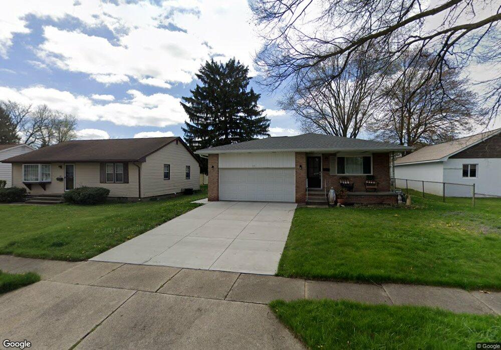
816 Hollywood Cir Cuyahoga Falls, OH 44221
Mud Brook NeighborhoodEstimated Value: $217,000 - $238,566
3
Beds
2
Baths
1,188
Sq Ft
$194/Sq Ft
Est. Value
About This Home
This home is located at 816 Hollywood Cir, Cuyahoga Falls, OH 44221 and is currently estimated at $230,392, approximately $193 per square foot. 816 Hollywood Cir is a home located in Summit County with nearby schools including Lincoln Elementary School, Roberts Middle School, and Cuyahoga Falls High School.
Ownership History
Date
Name
Owned For
Owner Type
Purchase Details
Closed on
Dec 13, 2021
Sold by
Desantis Family Trust and Panico Sharon D
Bought by
Desantis David John
Current Estimated Value
Purchase Details
Closed on
Jul 25, 2021
Sold by
Panico Sharon D and Desantis Family Trust
Bought by
Desantis David John
Purchase Details
Closed on
Sep 25, 2002
Sold by
Desantis Gabriel J and Desantis Carol L
Bought by
Desantis Gabriel J and Desantis Carol L
Create a Home Valuation Report for This Property
The Home Valuation Report is an in-depth analysis detailing your home's value as well as a comparison with similar homes in the area
Home Values in the Area
Average Home Value in this Area
Purchase History
| Date | Buyer | Sale Price | Title Company |
|---|---|---|---|
| Desantis David John | -- | None Listed On Document | |
| Desantis David John | -- | None Available | |
| Desantis Gabriel J | -- | -- |
Source: Public Records
Tax History Compared to Growth
Tax History
| Year | Tax Paid | Tax Assessment Tax Assessment Total Assessment is a certain percentage of the fair market value that is determined by local assessors to be the total taxable value of land and additions on the property. | Land | Improvement |
|---|---|---|---|---|
| 2025 | $3,508 | $64,971 | $15,869 | $49,102 |
| 2024 | $3,508 | $64,971 | $15,869 | $49,102 |
| 2023 | $3,508 | $64,971 | $15,869 | $49,102 |
| 2022 | $3,116 | $46,865 | $11,417 | $35,448 |
| 2021 | $3,184 | $46,865 | $11,417 | $35,448 |
| 2020 | $3,133 | $46,870 | $11,420 | $35,450 |
| 2019 | $2,903 | $39,560 | $10,960 | $28,600 |
| 2018 | $2,475 | $39,560 | $10,960 | $28,600 |
| 2017 | $2,299 | $39,560 | $10,960 | $28,600 |
| 2016 | $2,300 | $37,170 | $10,960 | $26,210 |
| 2015 | $2,299 | $37,170 | $10,960 | $26,210 |
| 2014 | $2,300 | $37,170 | $10,960 | $26,210 |
| 2013 | $2,288 | $37,290 | $10,960 | $26,330 |
Source: Public Records
Map
Nearby Homes
- Greenfield Plan at Miller's Landing
- Riverton Plan at Miller's Landing
- Woodside Plan at Miller's Landing
- Willwood Plan at Miller's Landing
- Westchester Plan at Miller's Landing
- Amberwood Plan at Miller's Landing
- Hilltop Plan at Miller's Landing
- 3044 Millboro Rd
- 2950 Millboro Rd
- 435 Roanoke Ave
- 3320 Hudson Dr
- 306 Hollywood Ave
- 455 Marguerite Ave
- 2934 Silver Lake Blvd
- 419 Keenan Ave
- 2886 Norwood St
- 2870 Kent Rd
- 3675 Country Club Dr
- 2834 Norwood St
- 2835 Bailey Rd
- 818 Hollywood Cir
- 3315 Charles St
- 3321 Charles St
- 824 Hollywood Cir
- 3305 Charles St
- 3210 Saunders St
- 830 Hollywood Cir
- 811 Hollywood Cir Unit 813
- 811 Hollywood Cir
- 817 Hollywood Cir Unit 819
- 3295 Charles St
- 3215 Saunders St
- 805 Hollywood Cir Unit 807
- 836 Hollywood Cir
- 823 Hollywood Cir
- 766 Hollywood Ave
- 3206 Saunders St
- 836 Hollywood Cir Unit 838
- 3287 Charles St
- 3232 Charles St