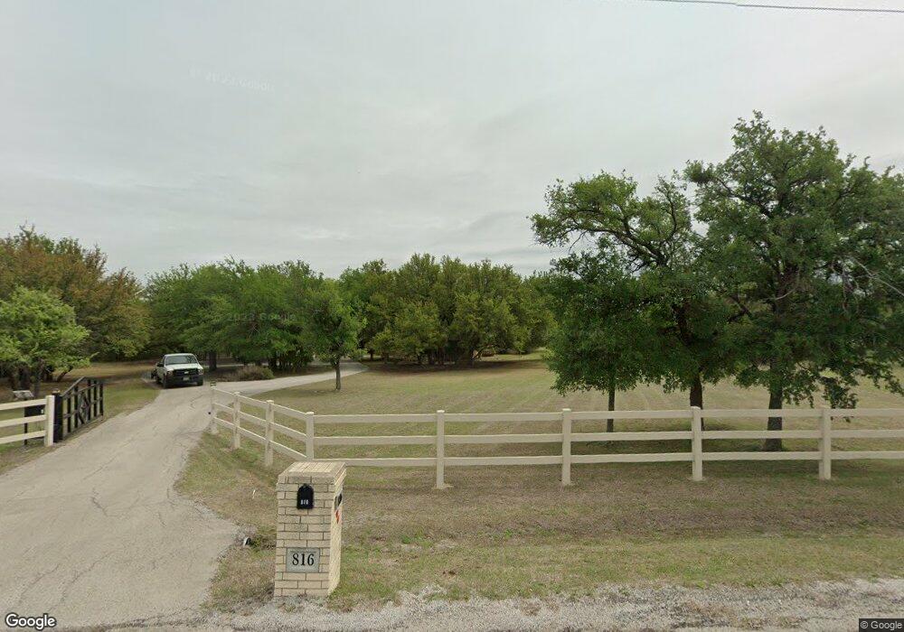
816 Meadow Hill Rd Fort Worth, TX 76108
Far West Fort Worth NeighborhoodEstimated Value: $468,045 - $578,000
--
Bed
--
Bath
1,947
Sq Ft
$270/Sq Ft
Est. Value
About This Home
This home is located at 816 Meadow Hill Rd, Fort Worth, TX 76108 and is currently estimated at $526,011, approximately $270 per square foot. 816 Meadow Hill Rd is a home located in Parker County with nearby schools including McCall Elementary School, Don R Daniel Ninth Grade Campus, and McAnally Intermediate School.
Ownership History
Date
Name
Owned For
Owner Type
Purchase Details
Closed on
Feb 25, 2005
Sold by
Benson Pruitt M and Benson Rhonda J
Bought by
Benson Rev Trust & Life Estate
Current Estimated Value
Purchase Details
Closed on
Nov 21, 1994
Bought by
Benson Rev Trust & Life Estate
Purchase Details
Closed on
Jan 1, 1901
Bought by
Benson Rev Trust & Life Estate
Create a Home Valuation Report for This Property
The Home Valuation Report is an in-depth analysis detailing your home's value as well as a comparison with similar homes in the area
Home Values in the Area
Average Home Value in this Area
Purchase History
| Date | Buyer | Sale Price | Title Company |
|---|---|---|---|
| Benson Rev Trust & Life Estate | -- | -- | |
| Benson Pruitt Morris | -- | None Available | |
| Benson Rev Trust & Life Estate | -- | -- | |
| Benson Rev Trust & Life Estate | -- | -- |
Source: Public Records
Tax History Compared to Growth
Tax History
| Year | Tax Paid | Tax Assessment Tax Assessment Total Assessment is a certain percentage of the fair market value that is determined by local assessors to be the total taxable value of land and additions on the property. | Land | Improvement |
|---|---|---|---|---|
| 2025 | $1,307 | $387,914 | -- | -- |
| 2024 | $1,307 | $352,649 | -- | -- |
| 2023 | $1,307 | $320,590 | $0 | $0 |
| 2022 | $5,852 | $319,970 | $125,000 | $194,970 |
| 2021 | $5,752 | $319,970 | $125,000 | $194,970 |
| 2020 | $5,237 | $240,870 | $75,000 | $165,870 |
| 2019 | $5,564 | $240,870 | $75,000 | $165,870 |
| 2018 | $5,342 | $230,620 | $75,000 | $155,620 |
| 2017 | $5,104 | $230,620 | $75,000 | $155,620 |
| 2016 | $4,640 | $197,820 | $62,500 | $135,320 |
| 2015 | $2,411 | $197,820 | $62,500 | $135,320 |
| 2014 | $2,571 | $193,990 | $62,500 | $131,490 |
Source: Public Records
Map
Nearby Homes
- 313 Silver Canyon Dr
- 301 Silver Canyon Dr
- 138 Bluff Creek Rd
- 104 Woodview Creek Trail
- 13823 Llano Dr
- 142 Crown Ridge Ct
- 200 W Bozeman Ln
- 100 Stone Canyon Cir
- 101 E Bozeman Ln
- 141 E Bozeman Ln
- 108 Stone Canyon Cir
- 813 Remuda Dr
- 332 Tiara Trail
- 328 Tiara Trail
- 175 N Boyce Ln
- 741 Remuda Dr
- 189 Stoney Ridge
- 109 Arroyo Ct
- 420 Cattlebaron Parc Dr
- 118 Corona Ct
- 100 Live Oak Ct
- 836 Meadow Hill Rd
- 106 Live Oak Ct
- 801 Meadow Hill Rd
- 831 Meadow Hill Rd
- 724 Meadow Hill Rd
- 339 Silver Canyon Dr
- 105 Live Oak Ct
- 864 Meadow Hill Rd
- 850 Meadow Hill Rd
- 343 Silver Canyon Dr Unit DRIVE
- 333 Silver Canyon Dr
- 851 Meadow Hill Rd
- 725 Meadow Hill Rd
- 347 Silver Canyon Dr
- 327 Silver Canyon Dr
- 719 Meadow Hill Rd
- 892 Meadow Hill Rd
- 749 Meadow Hill Rd
- 878 Meadow Hill Rd