816 Mohawk Dr Westport, MA 02790
Estimated Value: $644,000 - $782,000
3
Beds
2
Baths
1,536
Sq Ft
$467/Sq Ft
Est. Value
About This Home
This home is located at 816 Mohawk Dr, Westport, MA 02790 and is currently estimated at $717,811, approximately $467 per square foot. 816 Mohawk Dr is a home with nearby schools including North End Elementary School, Talbot Innovation School, and B M C Durfee High School.
Ownership History
Date
Name
Owned For
Owner Type
Purchase Details
Closed on
Oct 24, 2006
Sold by
Salva Courtney L and Salva Keith T
Bought by
Melancon David and Raposa Tanya
Current Estimated Value
Home Financials for this Owner
Home Financials are based on the most recent Mortgage that was taken out on this home.
Original Mortgage
$273,200
Interest Rate
6.49%
Mortgage Type
Purchase Money Mortgage
Purchase Details
Closed on
Feb 14, 2003
Sold by
Burns Mari E and Burns Thomas M
Bought by
Salva Courtney L and Salva Keith T
Home Financials for this Owner
Home Financials are based on the most recent Mortgage that was taken out on this home.
Original Mortgage
$170,000
Interest Rate
5.88%
Mortgage Type
Purchase Money Mortgage
Purchase Details
Closed on
Dec 28, 1993
Sold by
Martelly Roland J
Bought by
Burns Thomas M and Barns Mari E
Create a Home Valuation Report for This Property
The Home Valuation Report is an in-depth analysis detailing your home's value as well as a comparison with similar homes in the area
Home Values in the Area
Average Home Value in this Area
Purchase History
| Date | Buyer | Sale Price | Title Company |
|---|---|---|---|
| Melancon David | $341,500 | -- | |
| Salva Courtney L | $255,000 | -- | |
| Burns Thomas M | $130,000 | -- |
Source: Public Records
Mortgage History
| Date | Status | Borrower | Loan Amount |
|---|---|---|---|
| Open | Burns Thomas M | $263,154 | |
| Closed | Melancon David | $273,200 | |
| Previous Owner | Burns Thomas M | $15,500 | |
| Previous Owner | Burns Thomas M | $170,000 |
Source: Public Records
Tax History
| Year | Tax Paid | Tax Assessment Tax Assessment Total Assessment is a certain percentage of the fair market value that is determined by local assessors to be the total taxable value of land and additions on the property. | Land | Improvement |
|---|---|---|---|---|
| 2025 | $6,016 | $525,400 | $157,900 | $367,500 |
| 2024 | $5,652 | $491,900 | $151,900 | $340,000 |
| 2023 | $5,859 | $477,500 | $144,600 | $332,900 |
| 2022 | $4,542 | $359,900 | $133,900 | $226,000 |
| 2021 | $4,856 | $351,100 | $133,600 | $217,500 |
| 2020 | $4,777 | $330,600 | $126,300 | $204,300 |
| 2019 | $4,661 | $319,700 | $123,900 | $195,800 |
| 2018 | $4,345 | $297,200 | $123,900 | $173,300 |
| 2017 | $3,356 | $239,700 | $120,300 | $119,400 |
| 2016 | $3,169 | $232,500 | $120,300 | $112,200 |
| 2015 | $3,074 | $235,000 | $120,300 | $114,700 |
| 2014 | $2,956 | $235,000 | $120,300 | $114,700 |
Source: Public Records
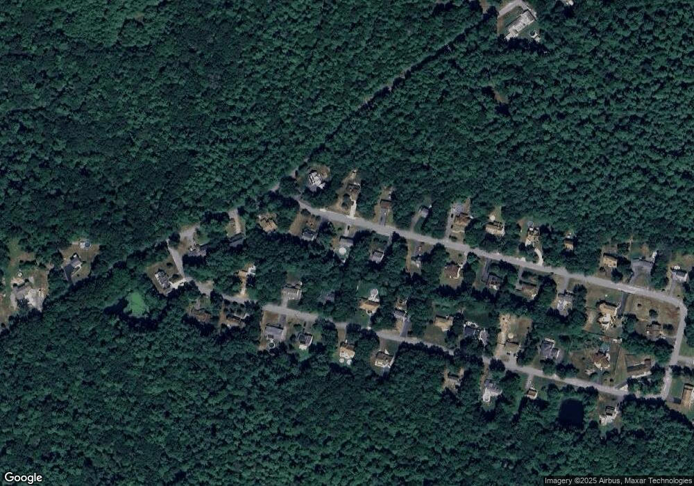
Map
Nearby Homes
- 23 Millers Dr
- 320-322 Old Bedford Rd
- 0 Bergeron Ln Unit 73483440
- 300 Davis Rd
- 343 Old Bedford Rd
- 1276 Old Fall River Rd
- 3 Diane Way
- 2 Donna Marie Dr
- 19 Charles Joseph Dr
- 128 Old Bedford Rd
- 1256 N Hixville Rd
- 1406 N Hixville Road Lot 2-1
- 60 Wingold St
- 168 Windsor St
- 36 Fordney St
- 201 Montgomery Cir
- 219 Earle St Unit 3
- 217 Earle St Unit 2
- 215 Earle St Unit 1
- 756 County St
- 884 Mohawk Dr
- 825 Mohawk Dr
- 150 Mohawk Dr
- 182 Mohawk Dr
- 625 Indian Town Rd
- 581 Indian Town Rd
- 720 Mohawk Dr
- 177 Mohawk Dr
- 141 Mohawk Dr
- 551 Indian Town Rd
- 551 Indian Town Rd
- 727 Mohawk Rd
- 248 Mohawk Dr
- 81 Mohawk Dr
- 521 Indian Town Rd
- 690 Mohawk Dr
- 661 Mohawk Dr
- 648 Mohawk Dr
- 15 Mohawk Dr
- 312 Mohawk Dr
Your Personal Tour Guide
Ask me questions while you tour the home.