816 N Devara Ln Montesano, WA 98563
Estimated Value: $390,923 - $617,000
Studio
--
Bath
1,257
Sq Ft
$386/Sq Ft
Est. Value
About This Home
This home is located at 816 N Devara Ln, Montesano, WA 98563 and is currently estimated at $485,481, approximately $386 per square foot. 816 N Devara Ln is a home located in Grays Harbor County with nearby schools including Beacon Avenue Elementary School, Simpson Avenue Elementary School, and Montesano Junior/Senior High School.
Ownership History
Date
Name
Owned For
Owner Type
Purchase Details
Closed on
May 22, 2005
Sold by
Staten Jay P and Staten Valerie A
Bought by
Burck Pamela C and Alrick Robert G
Current Estimated Value
Home Financials for this Owner
Home Financials are based on the most recent Mortgage that was taken out on this home.
Original Mortgage
$180,000
Outstanding Balance
$92,523
Interest Rate
5.62%
Mortgage Type
Adjustable Rate Mortgage/ARM
Estimated Equity
$392,958
Create a Home Valuation Report for This Property
The Home Valuation Report is an in-depth analysis detailing your home's value as well as a comparison with similar homes in the area
Home Values in the Area
Average Home Value in this Area
Purchase History
| Date | Buyer | Sale Price | Title Company |
|---|---|---|---|
| Burck Pamela C | $239,673 | Pacific Title |
Source: Public Records
Mortgage History
| Date | Status | Borrower | Loan Amount |
|---|---|---|---|
| Open | Burck Pamela C | $180,000 |
Source: Public Records
Tax History
| Year | Tax Paid | Tax Assessment Tax Assessment Total Assessment is a certain percentage of the fair market value that is determined by local assessors to be the total taxable value of land and additions on the property. | Land | Improvement |
|---|---|---|---|---|
| 2025 | $4,128 | $446,534 | $96,928 | $349,606 |
| 2023 | $4,172 | $443,499 | $69,560 | $373,939 |
| 2022 | $3,626 | $335,145 | $51,520 | $283,625 |
| 2021 | $3,356 | $335,145 | $51,520 | $283,625 |
| 2020 | $3,347 | $282,002 | $46,000 | $236,002 |
| 2019 | $2,879 | $271,291 | $40,000 | $231,291 |
| 2018 | $3,449 | $254,158 | $40,000 | $214,158 |
| 2017 | $3,090 | $238,954 | $40,000 | $198,954 |
| 2016 | $2,971 | $229,480 | $40,000 | $189,480 |
| 2014 | -- | $224,100 | $40,000 | $184,100 |
| 2013 | -- | $224,315 | $40,000 | $184,315 |
Source: Public Records
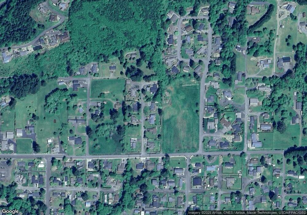
Map
Nearby Homes
- 603 Church St N
- 214 N Talbot St
- 102 S Chehalis St
- 303 E Broadway Ave
- 1008 E Pioneer Ave
- 100 Meadow Loop
- 23 Garden Tracts Rd
- 318 W Marcy Ave
- 404 W Marcy Ave
- 517 W Broadway Ave
- 816 W Simpson Ave
- 702 W Marcy Ave
- 28 Roup Rd
- 0 Off of Washington 107
- 15 Miller Ln
- 0 Val Vista Dr
- 627 Wynoochee Valley Rd
- 0 Highland Dr Unit NWM2430171
- 55 Devonshire Rd
- 511 Highland Dr
- 812 N Devara Ln
- 0 L3 Devara Ln
- 817 N Devara Ln
- 820 N Devara Ln
- 626 E Mcbryde Ave
- 813 N Devara Ln
- 821 N Devara Ln
- 808 N Devara Ln
- 809 N Devara Ln
- 822 N Chehalis St
- 804 N Devara Ln
- 984 N Stephenson Dr
- 805 N Devara Ln
- 982 N Stephenson Dr
- 990 N Stephenson Dr
- 612 E Ferndale Ave
- 0 Ferndale Unit 916088
- 516 E Ferndale Ave
- 836 N Stephenson Dr
- 820 N Chehalis St
Your Personal Tour Guide
Ask me questions while you tour the home.