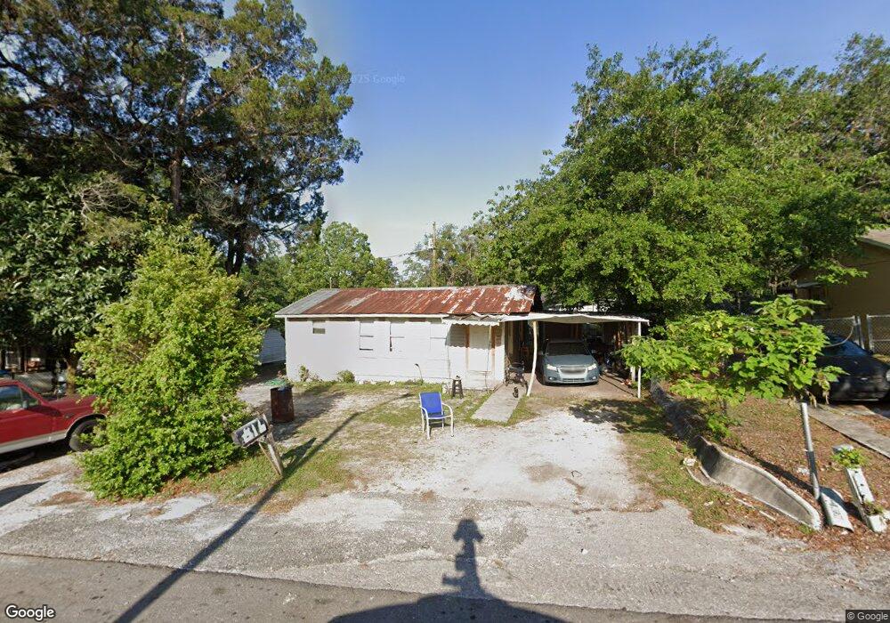
816 Peach St Unit 2 Brooksville, FL 34601
Estimated Value: $95,321 - $171,000
1
Bed
1
Bath
924
Sq Ft
$143/Sq Ft
Est. Value
About This Home
This home is located at 816 Peach St Unit 2, Brooksville, FL 34601 and is currently estimated at $131,830, approximately $142 per square foot. 816 Peach St Unit 2 is a home located in Hernando County with nearby schools including Hernando High School, Moton Elementary School, and D. S. Parrott Middle School.
Ownership History
Date
Name
Owned For
Owner Type
Purchase Details
Closed on
Jun 27, 2010
Sold by
Stanley Charlie and Stanley Linda
Bought by
Gene Hood Bail Bonds Inc
Current Estimated Value
Purchase Details
Closed on
May 10, 2006
Sold by
Pickett Gloria J
Bought by
Stanley Charlie and Stanley Linda
Home Financials for this Owner
Home Financials are based on the most recent Mortgage that was taken out on this home.
Original Mortgage
$12,750
Interest Rate
10%
Mortgage Type
Purchase Money Mortgage
Purchase Details
Closed on
May 3, 1996
Sold by
Johnson Maudie M and Devine Maudie M
Bought by
Pickett Philip G and Pickett Gloria J
Create a Home Valuation Report for This Property
The Home Valuation Report is an in-depth analysis detailing your home's value as well as a comparison with similar homes in the area
Home Values in the Area
Average Home Value in this Area
Purchase History
| Date | Buyer | Sale Price | Title Company |
|---|---|---|---|
| Gene Hood Bail Bonds Inc | $300 | None Available | |
| Stanley Charlie | $12,800 | Dba Hernando Title Services | |
| Pickett Philip G | $8,800 | -- |
Source: Public Records
Mortgage History
| Date | Status | Borrower | Loan Amount |
|---|---|---|---|
| Previous Owner | Stanley Charlie | $12,750 |
Source: Public Records
Tax History Compared to Growth
Tax History
| Year | Tax Paid | Tax Assessment Tax Assessment Total Assessment is a certain percentage of the fair market value that is determined by local assessors to be the total taxable value of land and additions on the property. | Land | Improvement |
|---|---|---|---|---|
| 2024 | $275 | $24,261 | -- | -- |
| 2023 | $275 | $23,554 | $0 | $0 |
| 2022 | $260 | $22,868 | $0 | $0 |
| 2021 | $255 | $22,202 | $0 | $0 |
| 2020 | $234 | $21,895 | $0 | $0 |
| 2019 | $234 | $21,403 | $0 | $0 |
| 2018 | $220 | $21,004 | $0 | $0 |
| 2017 | $218 | $20,572 | $0 | $0 |
| 2016 | $203 | $20,149 | $0 | $0 |
| 2015 | $177 | $20,009 | $0 | $0 |
| 2014 | $227 | $19,850 | $0 | $0 |
Source: Public Records
Map
Nearby Homes
- 737 S Bailey Ave
- 548 S Lemon Ave
- 625 W Dr M L King Jr Blvd
- TBD W Dr M L King Jr Blvd
- Lot 48 Decatur Ave
- 111 E Early St
- 601 Seven Oaks Ct
- 0 Railroad Place
- 201 S Main St
- 208 Wilson Ave
- 321 S Brooksville Ave
- 0 Broad St Unit 2255989
- 0 Broad St Unit MFRW7876374
- 0 Broad St Unit MFRTB8363241
- 0 Broad St Unit MFRW7874689
- 0 Broad St Unit MFRW7874676
- 0 Broad St Unit 15314602
- 0 Broad St Unit 842741
- 0 Broad St Unit 2239421
- 0 Broad St Unit MFRU8240541