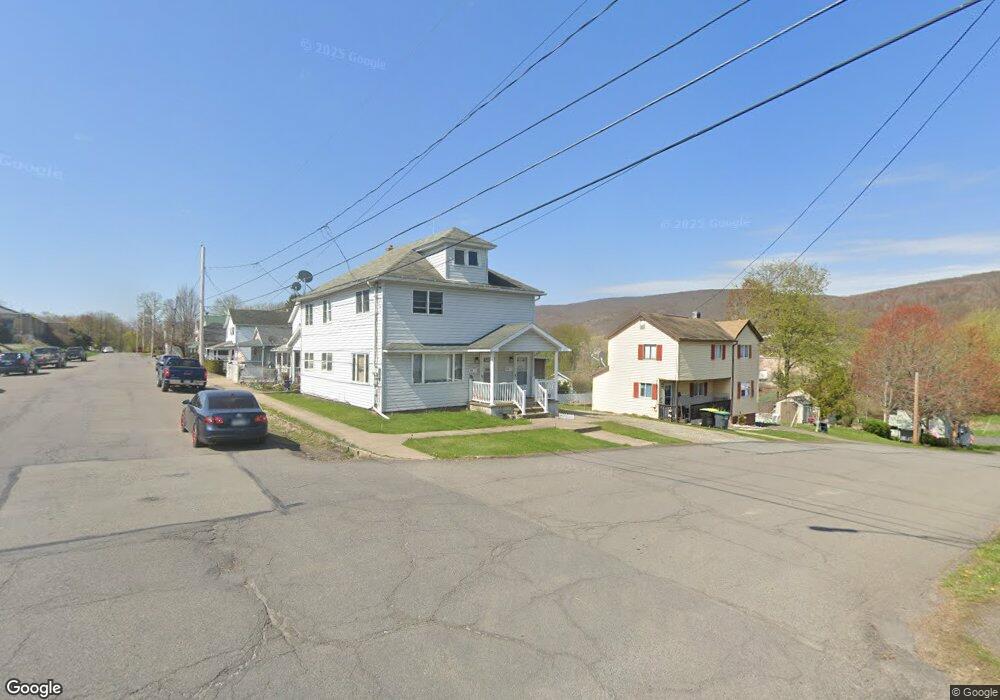
816 Poplar St Mayfield, PA 18433
Estimated Value: $126,309 - $198,000
--
Bed
--
Bath
2,006
Sq Ft
$78/Sq Ft
Est. Value
About This Home
This home is located at 816 Poplar St, Mayfield, PA 18433 and is currently estimated at $155,827, approximately $77 per square foot. 816 Poplar St is a home located in Lackawanna County with nearby schools including Lakeland Junior/Senior High School.
Ownership History
Date
Name
Owned For
Owner Type
Purchase Details
Closed on
Feb 2, 2023
Sold by
Gowat Matthew
Bought by
Gowat Matthew
Current Estimated Value
Purchase Details
Closed on
Jan 2, 2023
Sold by
Pattara Varghese T
Bought by
Gowat Matthew
Purchase Details
Closed on
Mar 14, 2008
Sold by
Pisanti Daniel
Bought by
Pattara Varghese T
Home Financials for this Owner
Home Financials are based on the most recent Mortgage that was taken out on this home.
Original Mortgage
$86,130
Interest Rate
5.75%
Mortgage Type
New Conventional
Purchase Details
Closed on
Jan 20, 2006
Sold by
Piwowarski Joseph and Piwowarski Deborah
Bought by
Pisanti Daniel
Home Financials for this Owner
Home Financials are based on the most recent Mortgage that was taken out on this home.
Original Mortgage
$81,000
Interest Rate
8.95%
Mortgage Type
Adjustable Rate Mortgage/ARM
Create a Home Valuation Report for This Property
The Home Valuation Report is an in-depth analysis detailing your home's value as well as a comparison with similar homes in the area
Home Values in the Area
Average Home Value in this Area
Purchase History
| Date | Buyer | Sale Price | Title Company |
|---|---|---|---|
| Gowat Matthew | -- | -- | |
| Gowat Matthew | $3,000 | -- | |
| Pattara Varghese T | $99,000 | None Available | |
| Pisanti Daniel | $81,000 | None Available |
Source: Public Records
Mortgage History
| Date | Status | Borrower | Loan Amount |
|---|---|---|---|
| Previous Owner | Pattara Varghese T | $86,130 | |
| Previous Owner | Pisanti Daniel | $81,000 |
Source: Public Records
Tax History Compared to Growth
Tax History
| Year | Tax Paid | Tax Assessment Tax Assessment Total Assessment is a certain percentage of the fair market value that is determined by local assessors to be the total taxable value of land and additions on the property. | Land | Improvement |
|---|---|---|---|---|
| 2025 | $1,737 | $6,500 | $1,000 | $5,500 |
| 2024 | $1,454 | $6,500 | $1,000 | $5,500 |
| 2023 | $1,566 | $7,000 | $0 | $7,000 |
| 2022 | $1,512 | $7,000 | $0 | $7,000 |
| 2021 | $1,512 | $7,000 | $0 | $7,000 |
| 2020 | $1,498 | $7,000 | $0 | $7,000 |
| 2019 | $1,414 | $7,000 | $0 | $7,000 |
| 2018 | $1,400 | $7,000 | $0 | $7,000 |
| 2017 | $1,386 | $7,000 | $0 | $7,000 |
| 2016 | $788 | $7,000 | $0 | $0 |
| 2015 | -- | $7,000 | $0 | $0 |
| 2014 | -- | $7,000 | $0 | $0 |
Source: Public Records
Map
Nearby Homes
- 508 Hill St
- 700 Poplar St
- 0 Chestnut St
- 210 Gorham Ave
- 0 Scranton Carbondale Hwy
- 317 Rushbrook St
- 148 5th St
- 508 Madison Ave
- 440 Washington Ave
- 603 Lincoln Ave
- 0 Bacon St
- 190 Rear Gordon Ave
- 322 Shadow Wood Cir Unit U13
- 333 Shadow Wood Cir
- 103 Gordon Ave
- 149 Upper Powderly St
- 590 N Main St
- 233 Shadow Wood Cir
- 42 Upper Powderly St
- 815 Oak St