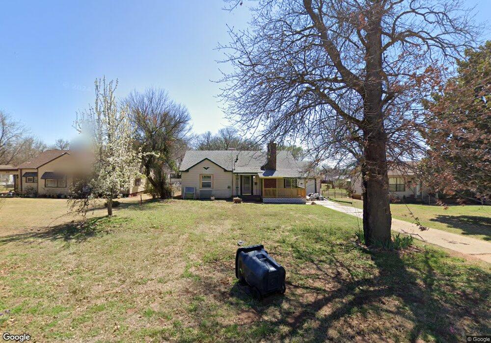
816 W Main St Purcell, OK 73080
Estimated Value: $97,000 - $182,000
3
Beds
1
Bath
1,180
Sq Ft
$122/Sq Ft
Est. Value
About This Home
This home is located at 816 W Main St, Purcell, OK 73080 and is currently estimated at $143,679, approximately $121 per square foot. 816 W Main St is a home located in McClain County with nearby schools including Purcell Elementary School, Purcell Intermediate School, and Purcell Junior High School.
Ownership History
Date
Name
Owned For
Owner Type
Purchase Details
Closed on
Nov 3, 2017
Sold by
Garrison Robert Bob
Bought by
Hard Rock Inc
Current Estimated Value
Purchase Details
Closed on
Nov 24, 2014
Sold by
Hatcher Mildred A
Bought by
Garrison Bob
Purchase Details
Closed on
Dec 4, 2007
Sold by
Guthrie Lloyd and Guthrie Tanya
Bought by
Hatcher Mildred A
Home Financials for this Owner
Home Financials are based on the most recent Mortgage that was taken out on this home.
Original Mortgage
$48,350
Interest Rate
6.27%
Mortgage Type
New Conventional
Create a Home Valuation Report for This Property
The Home Valuation Report is an in-depth analysis detailing your home's value as well as a comparison with similar homes in the area
Home Values in the Area
Average Home Value in this Area
Purchase History
| Date | Buyer | Sale Price | Title Company |
|---|---|---|---|
| Hard Rock Inc | -- | None Available | |
| Garrison Bob | $51,500 | -- | |
| Hatcher Mildred A | -- | None Available |
Source: Public Records
Mortgage History
| Date | Status | Borrower | Loan Amount |
|---|---|---|---|
| Previous Owner | Hatcher Mildred A | $48,350 |
Source: Public Records
Tax History Compared to Growth
Tax History
| Year | Tax Paid | Tax Assessment Tax Assessment Total Assessment is a certain percentage of the fair market value that is determined by local assessors to be the total taxable value of land and additions on the property. | Land | Improvement |
|---|---|---|---|---|
| 2025 | $723 | $6,649 | $743 | $5,906 |
| 2024 | $667 | $6,138 | $708 | $5,430 |
| 2023 | $667 | $5,846 | $699 | $5,147 |
| 2022 | $598 | $5,568 | $688 | $4,880 |
| 2021 | $576 | $5,303 | $688 | $4,615 |
| 2020 | $544 | $5,050 | $688 | $4,362 |
| 2019 | $527 | $4,810 | $688 | $4,122 |
| 2018 | $498 | $4,581 | $688 | $3,893 |
| 2017 | $463 | $4,363 | $688 | $3,675 |
| 2016 | $546 | $5,082 | $440 | $4,642 |
| 2015 | $619 | $5,665 | $440 | $5,225 |
| 2014 | $444 | $5,104 | $440 | $4,664 |
Source: Public Records
Map
Nearby Homes
- 1216 S Brook Dr
- 1225 Meadow Brook Dr
- 1233 S Brook Dr
- 1212 S Brook Dr
- 1229 Meadow Brook Dr
- 24906 Norte Rd
- 24956 Norte Rd
- 832 W Adams St
- 819 W Adams St
- 504 W Adams St
- 0 State Highway 74
- 24864 Norte Rd
- 922 Blue Bird Terrace
- 517 Bob White Dr
- 941 Blue Bird Terrace
- 515 S Lester Ln
- 124 W Brule St
- 0000 Jackson St
- 801 W Van Buren St
- 621 N 2nd Ave