Estimated Value: $707,000 - $940,370
1
Bed
1
Bath
4,650
Sq Ft
$175/Sq Ft
Est. Value
About This Home
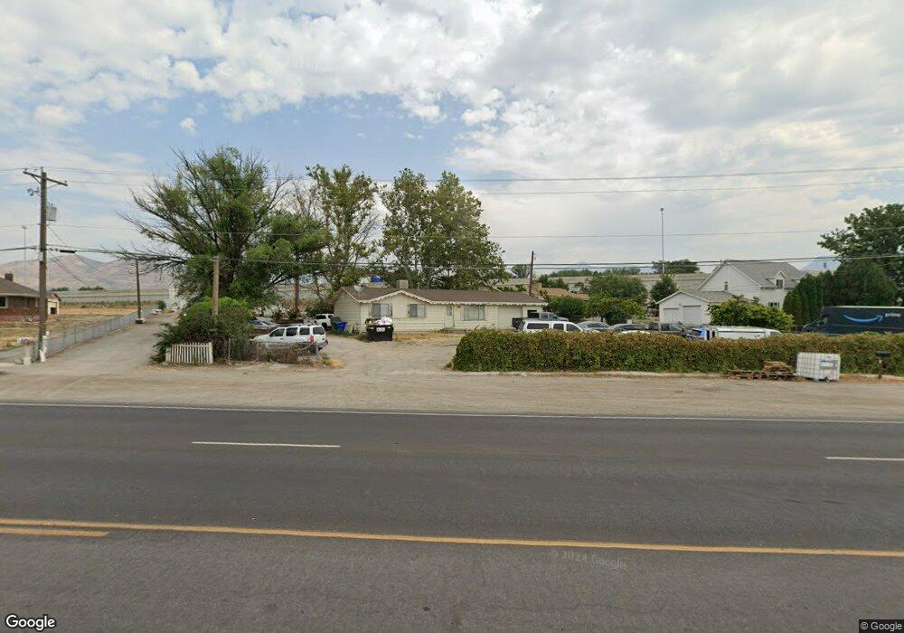
This home is located at 816 W State St, Lehi, UT 84043 and is currently estimated at $812,593, approximately $174 per square foot. 816 W State St is a home located in Utah County with nearby schools including Lehi Elementary School, Lehi Junior High School, and Lehi High School.
Ownership History
Date
Name
Owned For
Owner Type
Purchase Details
Closed on
Mar 25, 2014
Sold by
Carmaa Holdings Llc Series 20
Bought by
Progeny Properties Series 2
Current Estimated Value
Purchase Details
Closed on
Feb 20, 2014
Sold by
Carmaa Holdings Llc
Bought by
Carmaa Holdings Llc and 1184 Llc
Purchase Details
Closed on
Jul 20, 2009
Sold by
816 Llc
Bought by
Carmaa Holdings Llc Series 20
Purchase Details
Closed on
Jun 12, 2003
Sold by
Maag Kevin T and Maag Karyn F
Bought by
816 Llc
Purchase Details
Closed on
May 22, 2003
Sold by
816 Llc
Bought by
Maag Kevin T and Maag Karyn F
Purchase Details
Closed on
Feb 27, 2002
Sold by
Maag Kevin T and Maag Karyn F
Bought by
816 Llc
Create a Home Valuation Report for This Property
The Home Valuation Report is an in-depth analysis detailing your home's value as well as a comparison with similar homes in the area
Home Values in the Area
Average Home Value in this Area
Purchase History
| Date | Buyer | Sale Price | Title Company |
|---|---|---|---|
| Progeny Properties Series 2 | -- | None Available | |
| Progeny Properties Series 3 | -- | None Available | |
| Carmaa Holdings Llc | -- | None Available | |
| Carmaa Holdings Llc Series 20 | -- | None Available | |
| 816 Llc | -- | -- | |
| Maag Kevin T | -- | Equity Title Agency Inc | |
| 816 Llc | -- | Equity Title Agency Inc |
Source: Public Records
Tax History Compared to Growth
Tax History
| Year | Tax Paid | Tax Assessment Tax Assessment Total Assessment is a certain percentage of the fair market value that is determined by local assessors to be the total taxable value of land and additions on the property. | Land | Improvement |
|---|---|---|---|---|
| 2025 | $5,343 | $675,070 | $466,500 | $379,300 |
| 2024 | $5,343 | $625,305 | $0 | $0 |
| 2023 | $4,704 | $597,750 | $0 | $0 |
| 2022 | $4,766 | $742,800 | $412,700 | $330,100 |
| 2021 | $4,838 | $629,600 | $358,900 | $270,700 |
| 2020 | $4,894 | $629,600 | $358,900 | $270,700 |
| 2019 | $4,362 | $587,800 | $325,900 | $261,900 |
| 2018 | $3,870 | $484,400 | $217,400 | $267,000 |
| 2017 | $3,905 | $375,550 | $0 | $0 |
| 2016 | $3,842 | $342,880 | $0 | $0 |
| 2015 | $4,021 | $340,660 | $0 | $0 |
| 2014 | $2,831 | $238,360 | $0 | $0 |
Source: Public Records
Map
Nearby Homes
- 1817 W Bad Rock Cir
- 902 W 1500 N
- 1011 W Mountain Way Unit 316
- 1610 N 1125 W
- 1094 W 1425 N
- 1301 N 900 W Unit 12
- 1755 N 250 W
- 1249 W 1800 N
- 1272 W 1800 N
- 497 W 2200 N
- 1332 W 1500 N
- 2287 N 750 W
- 497 W 2280 N
- 1132 Titan Dr
- 1150 N 200 W Unit 6
- 1032 Titan Dr
- 1627 W Boxwood Dr Unit 110
- 996 N 200 W
- 1329 N 100 E Unit 21
- 1659 W Boxwood Dr Unit 109
- 812 W State St
- 810 W State St
- 802 W State St
- 830 W State St
- 1817 W Bad Rock Cir Unit 100303
- 1788 W Bad Rock Cir Unit 306
- 1783 W Bad Rock Cir Unit 301
- 1817 W Bad Rock Cir Unit 303
- 4126 W State St
- 750 W State St
- 850 W State St
- 1605 N State St
- 1657 N State St
- 870 W State St
- 1923 W Pointe Loop
- 1551 N State St Unit B
- 2487 W Churchhill Loop Unit 19
- 2487 W Churchhill Loop
- 1775 N Railroad St
- 894 W State St