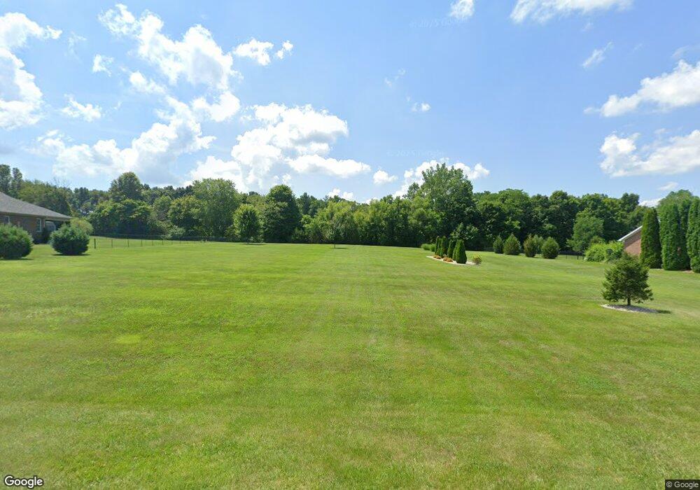
8161 Cedar Run Dr Martinsville, IN 46151
Estimated Value: $56,000 - $384,000
--
Bed
--
Bath
--
Sq Ft
1.03
Acres
About This Home
This home is located at 8161 Cedar Run Dr, Martinsville, IN 46151 and is currently estimated at $165,667. 8161 Cedar Run Dr is a home located in Morgan County with nearby schools including Martinsville High School.
Ownership History
Date
Name
Owned For
Owner Type
Purchase Details
Closed on
Sep 15, 2017
Sold by
Ray Justin C and Ray Lindsay M
Bought by
Powell Timothy L and Powell Deborah E
Current Estimated Value
Home Financials for this Owner
Home Financials are based on the most recent Mortgage that was taken out on this home.
Original Mortgage
$260,339
Outstanding Balance
$217,343
Interest Rate
3.89%
Mortgage Type
VA
Estimated Equity
-$51,676
Purchase Details
Closed on
Nov 3, 2015
Sold by
Ole John W C and Cole Shirley A
Bought by
Ray Justin and Ray Lindsay
Create a Home Valuation Report for This Property
The Home Valuation Report is an in-depth analysis detailing your home's value as well as a comparison with similar homes in the area
Home Values in the Area
Average Home Value in this Area
Purchase History
| Date | Buyer | Sale Price | Title Company |
|---|---|---|---|
| Powell Timothy L | -- | None Available | |
| Ray Justin | $24,300 | None Available |
Source: Public Records
Mortgage History
| Date | Status | Borrower | Loan Amount |
|---|---|---|---|
| Open | Powell Timothy L | $260,339 |
Source: Public Records
Tax History Compared to Growth
Tax History
| Year | Tax Paid | Tax Assessment Tax Assessment Total Assessment is a certain percentage of the fair market value that is determined by local assessors to be the total taxable value of land and additions on the property. | Land | Improvement |
|---|---|---|---|---|
| 2024 | $263 | $26,000 | $26,000 | $0 |
| 2023 | $257 | $26,000 | $26,000 | $0 |
| 2022 | $228 | $26,000 | $26,000 | $0 |
| 2021 | $221 | $26,000 | $26,000 | $0 |
| 2020 | $213 | $26,000 | $26,000 | $0 |
| 2019 | $227 | $25,600 | $25,600 | $0 |
| 2018 | $220 | $25,600 | $25,600 | $0 |
| 2017 | $205 | $24,000 | $24,000 | $0 |
| 2016 | $214 | $24,000 | $24,000 | $0 |
| 2014 | $13 | $1,800 | $1,800 | $0 |
| 2013 | $13 | $1,800 | $1,800 | $0 |
Source: Public Records
Map
Nearby Homes
- 8405 Mcwhorter Rd
- 8205 Mcwhorter Rd
- 8385 Mcwhorter Rd
- 901 Carter Rd
- 8577 State Road 44
- 7813 W 50 S
- 0 Skunk Hollow Rd
- Tract 3 Skunk Hollow Rd
- Tract 2 Skunk Hollow Rd
- 0 Banta Rd Unit MBR21966792
- 4360 Williams Rd
- 7303 W Division Rd
- 1156 Cope Rd
- 583 Old Moore Ln
- TBD Maple Grove Rd
- 0 Old Moore Rd
- 7975 New Harmony Rd
- 7158 New Harmony Rd
- 8000 New Harmony Rd
- 600 Old Moore Rd
- 8175 Cedar Run Dr
- 8131 Cedar Run Dr
- 0 Cedar Run Dr
- 8124 Cedar Run Dr
- 8231 Cedar Run Dr
- 8191 Cedar Run Dr
- 8113 Cedar Run Dr
- 8410 Mcwhorter Rd
- 8130 Cedar Run Dr
- 8131 Cottonwood Dr
- 8205 Cedar Run Dr
- 8155 Cottonwood Dr
- 8222 Cedar Run Dr
- 8280 Mcwhorter Rd
- 8134 Cottonwood Dr
- 8169 Cottonwood Dr
- 8108 Cedar Run Dr
- 8105 Mcwhorter Rd