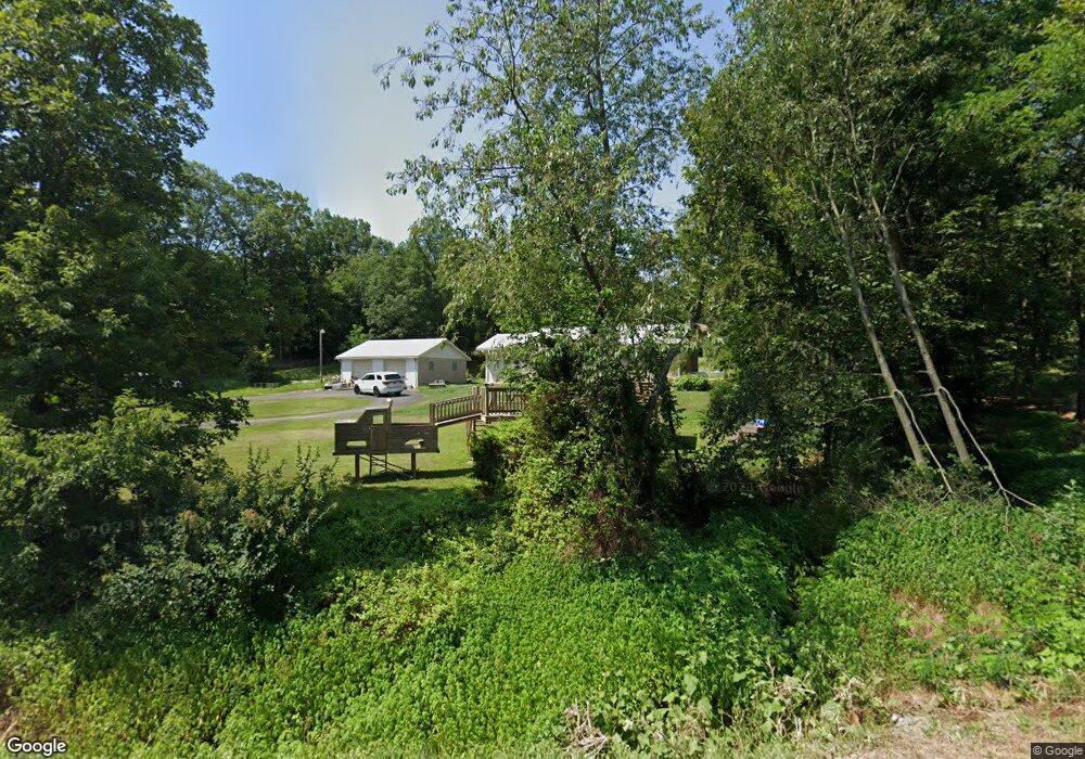
8163 Lunice Creek Hwy Maysville, WV 26833
Estimated Value: $169,977 - $268,000
3
Beds
1
Bath
1,536
Sq Ft
$142/Sq Ft
Est. Value
About This Home
This home is located at 8163 Lunice Creek Hwy, Maysville, WV 26833 and is currently estimated at $217,744, approximately $141 per square foot. 8163 Lunice Creek Hwy is a home with nearby schools including Maysville Elementary School and Petersburg High School.
Ownership History
Date
Name
Owned For
Owner Type
Purchase Details
Closed on
Aug 22, 2013
Sold by
Kimble Mernie
Bought by
Alt Amanda N
Current Estimated Value
Home Financials for this Owner
Home Financials are based on the most recent Mortgage that was taken out on this home.
Original Mortgage
$136,224
Outstanding Balance
$100,478
Interest Rate
4.34%
Estimated Equity
$117,266
Create a Home Valuation Report for This Property
The Home Valuation Report is an in-depth analysis detailing your home's value as well as a comparison with similar homes in the area
Home Values in the Area
Average Home Value in this Area
Purchase History
| Date | Buyer | Sale Price | Title Company |
|---|---|---|---|
| Alt Amanda N | $133,500 | -- |
Source: Public Records
Mortgage History
| Date | Status | Borrower | Loan Amount |
|---|---|---|---|
| Open | Alt Amanda N | $136,224 |
Source: Public Records
Tax History Compared to Growth
Tax History
| Year | Tax Paid | Tax Assessment Tax Assessment Total Assessment is a certain percentage of the fair market value that is determined by local assessors to be the total taxable value of land and additions on the property. | Land | Improvement |
|---|---|---|---|---|
| 2025 | $416 | $53,520 | $22,680 | $30,840 |
| 2024 | $434 | $54,060 | $22,680 | $31,380 |
| 2023 | $426 | $53,100 | $22,680 | $30,420 |
| 2022 | $427 | $53,220 | $22,680 | $30,540 |
| 2021 | $420 | $52,320 | $22,680 | $29,640 |
| 2020 | $417 | $51,960 | $22,680 | $29,280 |
| 2019 | $355 | $52,260 | $22,680 | $29,580 |
| 2018 | $358 | $52,740 | $22,680 | $30,060 |
| 2017 | $358 | $52,740 | $22,680 | $30,060 |
| 2016 | $362 | $53,280 | $22,680 | $30,600 |
| 2015 | $362 | $53,280 | $22,680 | $30,600 |
| 2014 | $365 | $53,760 | $22,680 | $31,080 |
Source: Public Records
Map
Nearby Homes
- 2467 Roby Rd
- 0 Roby Rd
- 547 Haven Farms Cir
- 7652 Morgantown Rd
- 13 Hunrish Ln
- 1294 Winding Ln
- 1039 High Point Dr
- 0 Intimidators Rd
- 523 Gloryridge Dr
- 4645 Lower Knobley Rd
- 401 Nighthawk Dr
- 93 Adare Ln
- 133 Upper Hawk Ridge Rd
- 230 Polar Bear Rd
- 228 Meadow Ridge Dr
- 7642 Jordan Run Rd
- 19 Swan Rd
- 307 Earl Barr Ln
- 149 Stratus Dr
- 1079 Little Mountain
- 8293 Lunice Creek Hwy
- 102 Nature Ln
- 46 Nature Ln
- 77 Nature Ln
- 99 Nature Ln
- 166 Nature Ln
- 8359 Lunice Creek Hwy
- 7983 Lunice Creek Hwy
- 70 Tweezel Ln
- 132 Tweezel Ln
- 194 Tweezel Ln
- 7935 Lunice Creek Hwy
- 250 Tweezel Ln
- 97 Pleasant View Dr
- 109 Scenic Dr
- 57 Pleasant View Dr
- 103 Tweezel Ln
- 219 Scenic Dr
- 0 2 Acres - Tweezel Ln Unit WVGT2000054
- 179 Scenic Dr