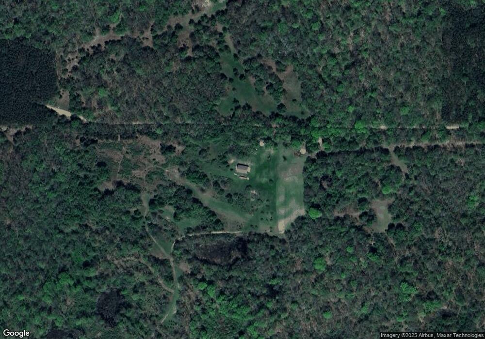
8166 11 Mile Rd Big Rapids, MI 49307
Estimated Value: $180,913 - $308,000
--
Bed
--
Bath
856
Sq Ft
$278/Sq Ft
Est. Value
About This Home
This home is located at 8166 11 Mile Rd, Big Rapids, MI 49307 and is currently estimated at $237,978, approximately $278 per square foot. 8166 11 Mile Rd is a home with nearby schools including Big Rapids High School.
Ownership History
Date
Name
Owned For
Owner Type
Purchase Details
Closed on
May 22, 2019
Sold by
William Bannasch Ret
Bought by
Camp Freedom South Llc
Current Estimated Value
Purchase Details
Closed on
Jan 24, 2015
Sold by
Smith Terry M Et Ux Peggy A
Bought by
Bannasch William A Revocable Trust
Purchase Details
Closed on
Nov 10, 2006
Sold by
Prince Gordon (Patricia)
Bought by
Prince John Debra, Terry, Peggy
Purchase Details
Closed on
Oct 7, 2006
Sold by
Prince Margaret Ann
Bought by
Prince Living Trust Charles J
Purchase Details
Closed on
Jul 27, 2006
Sold by
Bannasch Trust Elaine M
Bought by
Bannasch William A
Create a Home Valuation Report for This Property
The Home Valuation Report is an in-depth analysis detailing your home's value as well as a comparison with similar homes in the area
Home Values in the Area
Average Home Value in this Area
Purchase History
| Date | Buyer | Sale Price | Title Company |
|---|---|---|---|
| Camp Freedom South Llc | $275,000 | -- | |
| Bannasch William A Revocable Trust | $20,000 | -- | |
| Prince John Debra, Terry, Peggy | -- | -- | |
| Prince Living Trust Charles J | -- | -- | |
| Bannasch William A | -- | -- |
Source: Public Records
Tax History Compared to Growth
Tax History
| Year | Tax Paid | Tax Assessment Tax Assessment Total Assessment is a certain percentage of the fair market value that is determined by local assessors to be the total taxable value of land and additions on the property. | Land | Improvement |
|---|---|---|---|---|
| 2025 | $2,406 | $72,900 | $0 | $0 |
| 2024 | $17 | $50,300 | $0 | $0 |
| 2023 | $1,846 | $58,000 | $0 | $0 |
| 2022 | $2,434 | $50,500 | $0 | $0 |
| 2021 | $1,510 | $31,200 | $0 | $0 |
| 2020 | $1,507 | $30,835 | $0 | $0 |
| 2019 | $915 | $26,700 | $0 | $0 |
| 2018 | $894 | $20,700 | $0 | $0 |
| 2017 | $834 | $20,400 | $0 | $0 |
| 2016 | $832 | $19,900 | $0 | $0 |
| 2015 | -- | $18,600 | $0 | $0 |
| 2014 | -- | $18,600 | $0 | $0 |
Source: Public Records
Map
Nearby Homes
- 000 E Hungerford Lake Dr
- 7293 E Hungerford Lake Dr
- 23616 15 Mile Rd
- 11066 Cottonwood Rd
- 6618 N Cypress Ave
- 15172 Oakwood Dr
- 22975 18 Mile Rd
- 22870 19 Mile Rd
- 28.36 Acres V L Cypress Ave
- 11548 Cypress (36 33 Acres) Ave
- 11548 Cypress Ave
- 22711 15 Mile Rd
- 16698 220th Ave
- 00 E 14 Mile Rd
- 15505 Waldron Way
- 18667 220th Ave
- 21238 Deans View
- 16659 Canyon Cove Unit 13
- 16499 Mitchell Creek Trail
- 16377 Mitchell Creek Trail