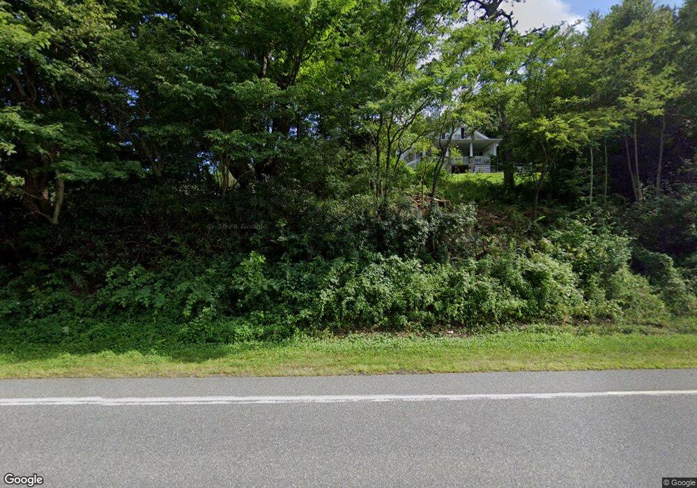
8169 Nc Highway 181 Newland, NC 28657
Burke Mountains NeighborhoodEstimated Value: $281,201 - $617,000
3
Beds
1
Bath
1,991
Sq Ft
$216/Sq Ft
Est. Value
About This Home
This home is located at 8169 Nc Highway 181, Newland, NC 28657 and is currently estimated at $430,050, approximately $215 per square foot. 8169 Nc Highway 181 is a home located in Burke County with nearby schools including Oak Hill Elementary School, Table Rock Middle School, and Freedom High School.
Ownership History
Date
Name
Owned For
Owner Type
Purchase Details
Closed on
Oct 28, 2021
Sold by
Burke Development Group Llc
Bought by
Hall Susan P
Current Estimated Value
Purchase Details
Closed on
Dec 10, 2014
Sold by
Morganton Auto Leasing Llc
Bought by
Burke Development Group Llc
Purchase Details
Closed on
May 12, 2014
Sold by
Dellinger Evelyn Poore
Bought by
Hall Susan Poore
Create a Home Valuation Report for This Property
The Home Valuation Report is an in-depth analysis detailing your home's value as well as a comparison with similar homes in the area
Home Values in the Area
Average Home Value in this Area
Purchase History
| Date | Buyer | Sale Price | Title Company |
|---|---|---|---|
| Hall Susan P | $1,000 | None Available | |
| Burke Development Group Llc | -- | None Available | |
| Hall Susan Poore | -- | None Available |
Source: Public Records
Tax History Compared to Growth
Tax History
| Year | Tax Paid | Tax Assessment Tax Assessment Total Assessment is a certain percentage of the fair market value that is determined by local assessors to be the total taxable value of land and additions on the property. | Land | Improvement |
|---|---|---|---|---|
| 2025 | $1,345 | $181,581 | $64,984 | $116,597 |
| 2024 | $1,350 | $181,581 | $64,984 | $116,597 |
| 2023 | $1,350 | $181,581 | $64,984 | $116,597 |
| 2022 | $1,254 | $141,233 | $64,212 | $77,021 |
| 2021 | $1,150 | $129,414 | $64,212 | $65,202 |
| 2020 | $1,146 | $129,414 | $64,212 | $65,202 |
| 2019 | $1,146 | $129,414 | $64,212 | $65,202 |
| 2018 | $1,154 | $130,415 | $64,212 | $66,203 |
| 2017 | $1,152 | $130,415 | $64,212 | $66,203 |
| 2016 | $1,128 | $130,415 | $64,212 | $66,203 |
| 2015 | $1,166 | $135,461 | $64,212 | $71,249 |
| 2014 | $1,165 | $135,497 | $64,212 | $71,285 |
| 2013 | $1,165 | $135,497 | $64,212 | $71,285 |
Source: Public Records
Map
Nearby Homes
- 6285 Upper Creek Dr
- TBD Parks Mountain Dr Unit 222
- TBD Parks Mountain Dr Unit 221/217
- 7668 Turtle Rock Rd
- 7797 Huskins Dr
- 7797 Huskins Dr Unit Tract 4
- 6350 Gingercake Rd
- 6357 Gingercake Rd
- 7230 Hideaway Ln
- 0 Gingercake Rd
- 7054 Grandview Cir
- 6622 Gingercake Rd
- 19 Valley View Dr
- 7109 Grandview Extension
- 7348 Joe Johnson St
- 6365 Julius Dr
- 7360 N Carolina 183
- 8186 N Carolina 183
- 70 Rebel Run
- 1521 Old Jonas Ridge Rd
- 0 Cold Springs Lodge Rd Unit 3701173
- 8149 Nc Highway 181
- 5919 Cold Springs Lodge
- 7545 Lower Timberidge Rd
- 7549 Lower Timberidge Rd
- 5886 Cold Springs Lodge
- 7539 Lower Timberidge Rd
- 7565 Lower Timberidge Rd
- 8179 Nc Highway 181
- 7515 Timber Ridge Rd
- 5885 Cold Springs Lodge
- 5885 Cold Springs Lodge None
- 5810 Cold Springs Lodge
- 6034 Windsong Ln
- 6065 Upper Creek Dr
- 5869 Cold Springs Lodge
- 6083 Carolyn St
- 6219 Upper Creek Dr
- Lot 332 Upper Creek Dr
- 6078 Upper Creek Dr