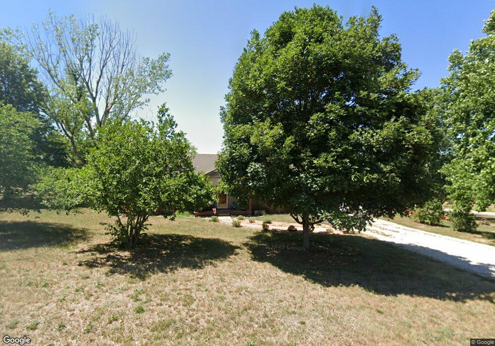
817 Highway J Stockton, MO 65785
Estimated Value: $230,827 - $306,000
--
Bed
--
Bath
1,650
Sq Ft
$159/Sq Ft
Est. Value
About This Home
This home is located at 817 Highway J, Stockton, MO 65785 and is currently estimated at $262,957, approximately $159 per square foot. 817 Highway J is a home with nearby schools including Stockton Elementary School, Stockton Middle School, and Stockton High School.
Ownership History
Date
Name
Owned For
Owner Type
Purchase Details
Closed on
Jun 22, 2005
Sold by
Newton Phil E and Newton Judy D
Bought by
Rupke Arlo and Rupke Brenda
Current Estimated Value
Home Financials for this Owner
Home Financials are based on the most recent Mortgage that was taken out on this home.
Original Mortgage
$87,920
Outstanding Balance
$45,515
Interest Rate
5.63%
Mortgage Type
Future Advance Clause Open End Mortgage
Estimated Equity
$217,442
Create a Home Valuation Report for This Property
The Home Valuation Report is an in-depth analysis detailing your home's value as well as a comparison with similar homes in the area
Home Values in the Area
Average Home Value in this Area
Purchase History
| Date | Buyer | Sale Price | Title Company |
|---|---|---|---|
| Rupke Arlo | -- | None Available |
Source: Public Records
Mortgage History
| Date | Status | Borrower | Loan Amount |
|---|---|---|---|
| Open | Rupke Arlo | $87,920 |
Source: Public Records
Tax History Compared to Growth
Tax History
| Year | Tax Paid | Tax Assessment Tax Assessment Total Assessment is a certain percentage of the fair market value that is determined by local assessors to be the total taxable value of land and additions on the property. | Land | Improvement |
|---|---|---|---|---|
| 2025 | $991 | $23,180 | $2,910 | $20,270 |
| 2024 | $991 | $20,570 | $2,580 | $17,990 |
| 2023 | $1,000 | $20,570 | $0 | $0 |
| 2022 | $998 | $20,570 | $0 | $0 |
| 2021 | $958 | $20,570 | $0 | $0 |
| 2020 | $958 | $19,740 | $0 | $0 |
| 2019 | $933 | $19,740 | $0 | $0 |
| 2018 | $929 | $19,740 | $0 | $0 |
| 2017 | -- | $19,740 | $0 | $0 |
| 2016 | -- | $19,740 | $0 | $0 |
| 2015 | -- | $19,740 | $0 | $0 |
| 2014 | -- | $19,740 | $0 | $0 |
| 2013 | -- | $19,790 | $0 | $0 |
Source: Public Records
Map
Nearby Homes
- 713 S Highway J
- 1014 Lancaster Dr
- 700 Owens Mill Rd
- 0 S Highway J Unit HMS2545441
- 0000 E 1300 Rd Unit 1
- 704 S Highway J
- 0000 1300 County Rd
- 12305 S Highway J
- 312 East St
- 502 E Highway 32
- 204 N Blake
- 309 S Chestnut St
- 212 East St
- 504 S Chestnut St
- 000 State Highway 32
- 008 State Highway 32
- 007 State Highway 32
- 006 State Highway 32
- 315 Skyline Dr
- 608 N Terrace Ln
- 808 Highway J
- 1050 S Highway J
- 0 Country Oaks Unit 11206142
- 807 S Highway J
- 701 Highway J
- 15685 E Lee Hopkins Dr
- 15645 E Lee Hopkins Dr
- 15645 E Lee Hopkins Dr
- 1102 Stockton Dr
- 1135 Stockton Dr
- 1103 Dr Dr
- 16010 1300 County Rd
- 707 N Highway J
- 16010 E 1300 Rd
- 1023 E Fremont Dr
- 1022 E Fremont Dr
- 1001 E Fremont Dr
- 1001 E Fremont Dr
- 1005 E Fremont Dr
- 1013 Fremont Dr