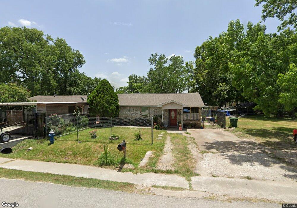
817 Marjorie St Houston, TX 77088
Acres Homes NeighborhoodEstimated Value: $179,000 - $224,000
3
Beds
2
Baths
1,131
Sq Ft
$177/Sq Ft
Est. Value
About This Home
This home is located at 817 Marjorie St, Houston, TX 77088 and is currently estimated at $199,732, approximately $176 per square foot. 817 Marjorie St is a home located in Harris County with nearby schools including Osborne Elementary School, Williams Middle, and Booker T Washington Sr High.
Ownership History
Date
Name
Owned For
Owner Type
Purchase Details
Closed on
Feb 2, 2007
Sold by
Lopez Elmer A and Lopez Gloria M
Bought by
Aranda Armando J
Current Estimated Value
Home Financials for this Owner
Home Financials are based on the most recent Mortgage that was taken out on this home.
Original Mortgage
$76,950
Outstanding Balance
$54,516
Interest Rate
9.75%
Mortgage Type
Purchase Money Mortgage
Estimated Equity
$145,216
Purchase Details
Closed on
Apr 29, 2005
Sold by
Murray Family Lp
Bought by
Lopez Elmer A and Lopez Gloria M
Create a Home Valuation Report for This Property
The Home Valuation Report is an in-depth analysis detailing your home's value as well as a comparison with similar homes in the area
Home Values in the Area
Average Home Value in this Area
Purchase History
| Date | Buyer | Sale Price | Title Company |
|---|---|---|---|
| Aranda Armando J | -- | American Title Co | |
| Lopez Elmer A | -- | -- |
Source: Public Records
Mortgage History
| Date | Status | Borrower | Loan Amount |
|---|---|---|---|
| Open | Aranda Armando J | $76,950 |
Source: Public Records
Tax History Compared to Growth
Tax History
| Year | Tax Paid | Tax Assessment Tax Assessment Total Assessment is a certain percentage of the fair market value that is determined by local assessors to be the total taxable value of land and additions on the property. | Land | Improvement |
|---|---|---|---|---|
| 2025 | $1,190 | $183,202 | $73,185 | $110,017 |
| 2024 | $1,190 | $175,885 | $73,185 | $102,700 |
| 2023 | $1,190 | $177,583 | $73,185 | $104,398 |
| 2022 | $2,206 | $149,076 | $57,120 | $91,956 |
| 2021 | $2,122 | $120,650 | $37,485 | $83,165 |
| 2020 | $2,005 | $109,077 | $32,130 | $76,947 |
| 2019 | $1,904 | $106,712 | $28,560 | $78,152 |
| 2018 | $1,090 | $90,918 | $16,065 | $74,853 |
| 2017 | $1,573 | $62,201 | $10,710 | $51,491 |
| 2016 | $1,573 | $62,201 | $10,710 | $51,491 |
| 2015 | $1,070 | $60,439 | $10,710 | $49,729 |
| 2014 | $1,070 | $60,439 | $10,710 | $49,729 |
Source: Public Records
Map
Nearby Homes
- 769 Marjorie St
- 0 Marjorie
- 854 Junell St
- 8314 De Priest St
- 8310 Williamsdell St
- 765 Enterprise St Unit D
- 905 Ferguson Way
- 8320 Williamsdell St
- 8602 De Priest St
- 8322 Williamsdell St
- 8324 Williamsdell St
- 907 Ferguson Way
- 766 Fortune St
- 813 Fortune St
- 798 Fair St
- 830 Ringold St
- 958 Ringold St
- 961 Ringold St
- 776 Fair St
- 954A Junell St
- 826 Marjorie St
- 822 Marjorie St
- 825 Marjorie St
- 808 Junell St
- 806 Junell St
- 810 Junell St
- 765 Marjorie St
- 829 Marjorie St
- 829 Marjorie St Unit B
- 829 Marjorie St Unit A
- 829 Marjorie St Unit TRLR A
- 826 Junell St
- 760 Marjorie St
- 767 Marjorie St
- 766 Marjorie St
- 830 Junell St
- 764 Marjorie St
- 839 Marjorie St
- 778 Junell St
- 840 Junell St