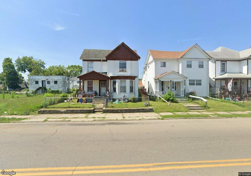
817 N Keowee St Dayton, OH 45404
McCook Field NeighborhoodEstimated Value: $87,000 - $160,000
3
Beds
2
Baths
1,572
Sq Ft
$75/Sq Ft
Est. Value
About This Home
This home is located at 817 N Keowee St, Dayton, OH 45404 and is currently estimated at $117,423, approximately $74 per square foot. 817 N Keowee St is a home located in Montgomery County with nearby schools including Kiser Elementary, Ruskin Elementary School, and Liberty High School.
Ownership History
Date
Name
Owned For
Owner Type
Purchase Details
Closed on
Feb 17, 1997
Sold by
Norwest Bank Minnesota N A
Bought by
Wening William Earl and Wening Deborah A
Current Estimated Value
Purchase Details
Closed on
May 13, 1996
Sold by
Haines Gary and Barnett Spencer C
Bought by
Norwest Bank Minnesota National Assn
Create a Home Valuation Report for This Property
The Home Valuation Report is an in-depth analysis detailing your home's value as well as a comparison with similar homes in the area
Home Values in the Area
Average Home Value in this Area
Purchase History
| Date | Buyer | Sale Price | Title Company |
|---|---|---|---|
| Wening William Earl | $24,000 | -- | |
| Norwest Bank Minnesota National Assn | $17,000 | -- |
Source: Public Records
Tax History Compared to Growth
Tax History
| Year | Tax Paid | Tax Assessment Tax Assessment Total Assessment is a certain percentage of the fair market value that is determined by local assessors to be the total taxable value of land and additions on the property. | Land | Improvement |
|---|---|---|---|---|
| 2024 | $758 | $12,230 | $760 | $11,470 |
| 2023 | $758 | $12,230 | $760 | $11,470 |
| 2022 | $874 | $11,030 | $690 | $10,340 |
| 2021 | $870 | $11,030 | $690 | $10,340 |
| 2020 | $868 | $11,030 | $690 | $10,340 |
| 2019 | $725 | $8,220 | $550 | $7,670 |
| 2018 | $726 | $8,220 | $550 | $7,670 |
| 2017 | $721 | $8,220 | $550 | $7,670 |
| 2016 | $831 | $9,130 | $690 | $8,440 |
| 2015 | $789 | $9,130 | $690 | $8,440 |
| 2014 | $789 | $9,130 | $690 | $8,440 |
| 2012 | -- | $5,870 | $680 | $5,190 |
Source: Public Records
Map
Nearby Homes
- 821 N Keowee St
- 815 N Keowee St
- 825 N Keowee St
- 930 Webster St
- 930 Webster St Unit 932
- 801 N Keowee St
- 920 Webster St
- 812 N Keowee St
- 802 N Keowee St
- 916 Webster St
- 735 N Keowee St
- 914 Webster St
- 943 Webster St
- 939 Webster St
- 947 Webster St
- 933 Webster St
- 731 N Keowee St
- 953 Webster St
- 908 Webster St Unit 910
- 908 Webster St