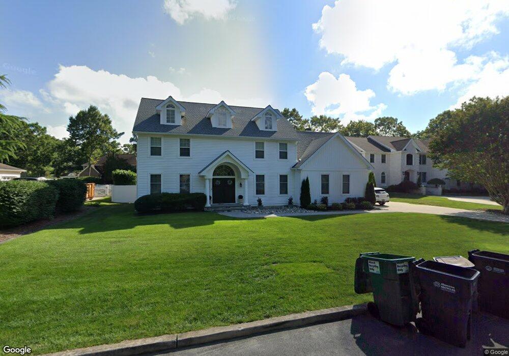
817 New York Ave Absecon, NJ 08201
Estimated Value: $587,000 - $874,000
4
Beds
5
Baths
2,628
Sq Ft
$264/Sq Ft
Est. Value
About This Home
This home is located at 817 New York Ave, Absecon, NJ 08201 and is currently estimated at $694,024, approximately $264 per square foot. 817 New York Ave is a home located in Atlantic County with nearby schools including Emma C. Attales Middle School, Assumption Regional Catholic School, and Holy Spirit High School.
Ownership History
Date
Name
Owned For
Owner Type
Purchase Details
Closed on
Feb 12, 2015
Sold by
Santoro Michael and Santoro Frances
Bought by
Deblasio Paul M and Deblasio Maryanne
Current Estimated Value
Home Financials for this Owner
Home Financials are based on the most recent Mortgage that was taken out on this home.
Original Mortgage
$266,000
Outstanding Balance
$202,981
Interest Rate
3.66%
Mortgage Type
New Conventional
Estimated Equity
$491,043
Create a Home Valuation Report for This Property
The Home Valuation Report is an in-depth analysis detailing your home's value as well as a comparison with similar homes in the area
Home Values in the Area
Average Home Value in this Area
Purchase History
| Date | Buyer | Sale Price | Title Company |
|---|---|---|---|
| Deblasio Paul M | $332,500 | None Available |
Source: Public Records
Mortgage History
| Date | Status | Borrower | Loan Amount |
|---|---|---|---|
| Open | Deblasio Paul M | $266,000 |
Source: Public Records
Tax History Compared to Growth
Tax History
| Year | Tax Paid | Tax Assessment Tax Assessment Total Assessment is a certain percentage of the fair market value that is determined by local assessors to be the total taxable value of land and additions on the property. | Land | Improvement |
|---|---|---|---|---|
| 2025 | $10,269 | $306,900 | $108,500 | $198,400 |
| 2024 | $10,269 | $306,900 | $108,500 | $198,400 |
| 2023 | $10,146 | $306,900 | $108,500 | $198,400 |
| 2022 | $10,146 | $306,900 | $108,500 | $198,400 |
| 2021 | $10,115 | $306,900 | $108,500 | $198,400 |
| 2020 | $10,134 | $306,900 | $108,500 | $198,400 |
| 2019 | $10,060 | $306,900 | $108,500 | $198,400 |
| 2018 | $10,103 | $306,900 | $108,500 | $198,400 |
| 2017 | $9,477 | $290,000 | $108,500 | $181,500 |
| 2016 | $9,210 | $290,000 | $108,500 | $181,500 |
| 2015 | $9,092 | $290,000 | $108,500 | $181,500 |
| 2014 | $8,967 | $290,000 | $108,500 | $181,500 |
Source: Public Records
Map
Nearby Homes
- 726 Blenheim Ave
- 928 Traymore Pkwy
- 130 Crestview Ave
- 1110 Breakers Ave
- 47 E Woodland Ave Unit C47
- 90 E Woodland Ave Unit E90
- 399 Pitney Rd
- 244 E Wyoming Ave
- 210 Coolidge Ave
- 243 Pennsylvania Ave
- 560 S Pitney Rd
- 714 S 8th Ave
- 720 8th Ave
- 363 E Upland Ave
- 120 Pitney Rd
- 1 Mechanic St Unit 108
- 107 W Church St
- 39 Theresa Ct
- 00 California Ave
- 117 E Wyoming Ave
- 819 New York Ave
- 806 Katie Ct
- 808 Katie Ct
- 804 Katie Ct
- 821 New York Ave
- 711 Iroquois Ave
- 709 Iroquois Ave
- 816 New York Ave
- 814 New York Ave
- 810 Katie Ct
- 818 New York Ave
- 802 Katie Ct
- 707 Iroquois Ave
- 812 New York Ave
- 807 Katie Ct
- 823 New York Ave
- 809 Katie Ct
- 703 Iroquois Ave
- 820 New York Ave
- 800 Katie Ct