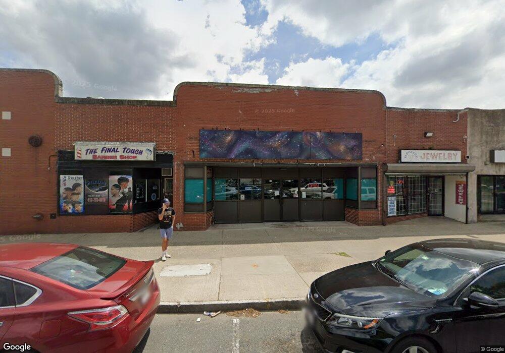
817 State St Springfield, MA 01109
Old Hill NeighborhoodEstimated Value: $397,192
Studio
4
Baths
11,810
Sq Ft
$34/Sq Ft
Est. Value
About This Home
This home is located at 817 State St, Springfield, MA 01109 and is currently estimated at $397,192, approximately $33 per square foot. 817 State St is a home located in Hampden County with nearby schools including William N. DeBerry Elementary School, M Marcus Kiley Middle, and High School Of Commerce.
Ownership History
Date
Name
Owned For
Owner Type
Purchase Details
Closed on
Oct 26, 2020
Sold by
Chong Yanghwa
Bought by
Khp Realty Llc
Current Estimated Value
Purchase Details
Closed on
Aug 21, 1989
Sold by
Winchester Sq Dev
Bought by
Chong Yanghwa
Home Financials for this Owner
Home Financials are based on the most recent Mortgage that was taken out on this home.
Original Mortgage
$109,189
Interest Rate
9.93%
Mortgage Type
Commercial
Create a Home Valuation Report for This Property
The Home Valuation Report is an in-depth analysis detailing your home's value as well as a comparison with similar homes in the area
Home Values in the Area
Average Home Value in this Area
Purchase History
| Date | Buyer | Sale Price | Title Company |
|---|---|---|---|
| Khp Realty Llc | $250,000 | None Available | |
| Chong Yanghwa | $250,000 | -- |
Source: Public Records
Mortgage History
| Date | Status | Borrower | Loan Amount |
|---|---|---|---|
| Previous Owner | Chong Yanghwa | $109,189 | |
| Previous Owner | Chong Yanghwa | $26,206 |
Source: Public Records
Tax History
| Year | Tax Paid | Tax Assessment Tax Assessment Total Assessment is a certain percentage of the fair market value that is determined by local assessors to be the total taxable value of land and additions on the property. | Land | Improvement |
|---|---|---|---|---|
| 2025 | $9,027 | $256,300 | $55,100 | $201,200 |
| 2024 | $9,019 | $254,700 | $55,100 | $199,600 |
| 2023 | $8,383 | $230,300 | $49,300 | $181,000 |
| 2022 | $8,846 | $226,600 | $43,200 | $183,400 |
| 2021 | $9,192 | $234,300 | $43,200 | $191,100 |
| 2020 | $8,317 | $212,000 | $38,400 | $173,600 |
| 2019 | $7,868 | $200,200 | $36,600 | $163,600 |
| 2018 | $7,440 | $189,400 | $36,600 | $152,800 |
| 2017 | $7,509 | $192,200 | $45,700 | $146,500 |
| 2016 | $6,983 | $180,900 | $45,700 | $135,200 |
| 2015 | $6,699 | $172,800 | $45,700 | $127,100 |
Source: Public Records
Map
Nearby Homes
- 811 State St
- 39 Eastern Ave
- 41 Eastern Ave
- 151 Monroe St
- 151 Monroe St Unit 1
- 49 Eastern Ave
- 33 Wilbraham Rd
- 46 Colton St
- 34 Catharine St Unit 1
- 34 Catharine St Unit 2
- 34 Catharine St Unit A / B
- 52 Colton St
- 0 Buckingham St
- 47 Colton St
- 53 Wilbraham Rd
- 44 Catharine St Unit 46
- lot 14 Riverton
- 748 State St Unit 8
- 748 State St
- 742-748 State St
Your Personal Tour Guide
Ask me questions while you tour the home.