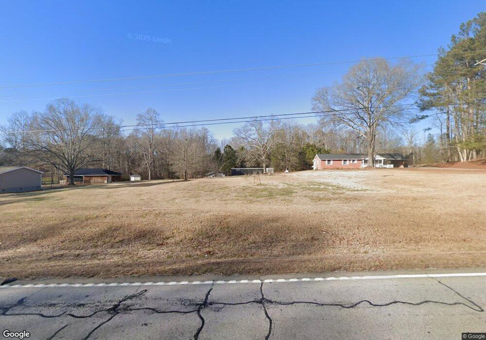
8170 Buchanan Hwy Dallas, GA 30157
Estimated Value: $199,000 - $290,000
2
Beds
2
Baths
1,414
Sq Ft
$177/Sq Ft
Est. Value
About This Home
This home is located at 8170 Buchanan Hwy, Dallas, GA 30157 and is currently estimated at $249,791, approximately $176 per square foot. 8170 Buchanan Hwy is a home located in Paulding County with nearby schools including Union Elementary School, Carl Scoggins Sr. Middle School, and South Paulding High School.
Ownership History
Date
Name
Owned For
Owner Type
Purchase Details
Closed on
Sep 25, 2006
Sold by
Waits James W
Bought by
Brewer Jeffrey
Current Estimated Value
Home Financials for this Owner
Home Financials are based on the most recent Mortgage that was taken out on this home.
Original Mortgage
$142,500
Outstanding Balance
$96,781
Interest Rate
9.12%
Mortgage Type
New Conventional
Estimated Equity
$153,010
Purchase Details
Closed on
Nov 16, 2005
Sold by
Baggett Jessie L
Bought by
Waits James W
Create a Home Valuation Report for This Property
The Home Valuation Report is an in-depth analysis detailing your home's value as well as a comparison with similar homes in the area
Home Values in the Area
Average Home Value in this Area
Purchase History
| Date | Buyer | Sale Price | Title Company |
|---|---|---|---|
| Brewer Jeffrey | $150,000 | -- | |
| Waits James W | $130,000 | -- |
Source: Public Records
Mortgage History
| Date | Status | Borrower | Loan Amount |
|---|---|---|---|
| Open | Brewer Jeffrey | $142,500 |
Source: Public Records
Tax History Compared to Growth
Tax History
| Year | Tax Paid | Tax Assessment Tax Assessment Total Assessment is a certain percentage of the fair market value that is determined by local assessors to be the total taxable value of land and additions on the property. | Land | Improvement |
|---|---|---|---|---|
| 2024 | $1,539 | $65,100 | $34,120 | $30,980 |
| 2023 | $2,560 | $100,704 | $32,480 | $68,224 |
| 2022 | $2,432 | $95,152 | $33,080 | $62,072 |
| 2021 | $2,165 | $76,364 | $24,040 | $52,324 |
| 2020 | $2,107 | $72,808 | $20,600 | $52,208 |
| 2019 | $1,963 | $65,160 | $17,880 | $47,280 |
| 2018 | $1,594 | $52,916 | $17,560 | $35,356 |
| 2017 | $1,568 | $51,332 | $17,560 | $33,772 |
Source: Public Records
Map
Nearby Homes
- 270 Harmony Woods Dr
- 281 Harmony Woods Dr
- 65 Harmony Woods Ln
- 0 Billy Bullock Rd Unit 10622076
- 728 Harmony Rd
- 703 Mulberry Rock Rd
- 59 Mullberry Path
- 177 Rustin Dr
- 00 Billy Bullock Rd
- 370 Buchanan Cir Unit TRACT 1
- 370 Buchanan Circle Tract 1
- 65 Cynthia Ct
- 0 Rustin Dr Unit 10617842
- 0 Rustin Dr Unit 7657021
- 232 Cynthia Ct
- 34 Harmony Ridge Dr
- 453 Mulberry Rock Rd
- 12 Shingle Oak Ct
- 391 Mulberry Rock Rd
- 149 Peyton Ln
- 8082 Buchanan Hwy
- 8254 Buchanan Hwy
- 8174 Buchanan Hwy
- 8255 Buchanan Hwy
- 8033 Buchanan Hwy
- 39 Wisener Rd
- 8031 Buchanan Hwy
- 8308 Buchanan Hwy
- 8175 Buchanan Hwy
- 8178 Buchanan Hwy
- 8347 Buchanan Hwy
- 8283 Buchanan Hwy
- 7951 Buchanan Hwy
- 8395 Buchanan Hwy
- 209 Wisener Rd
- 8277 Buchanan Hwy
- 7873 Buchanan Hwy
- 8460 Buchanan Hwy
- 328 Rc Thompson Rd
- 236 Rc Thompson Rd