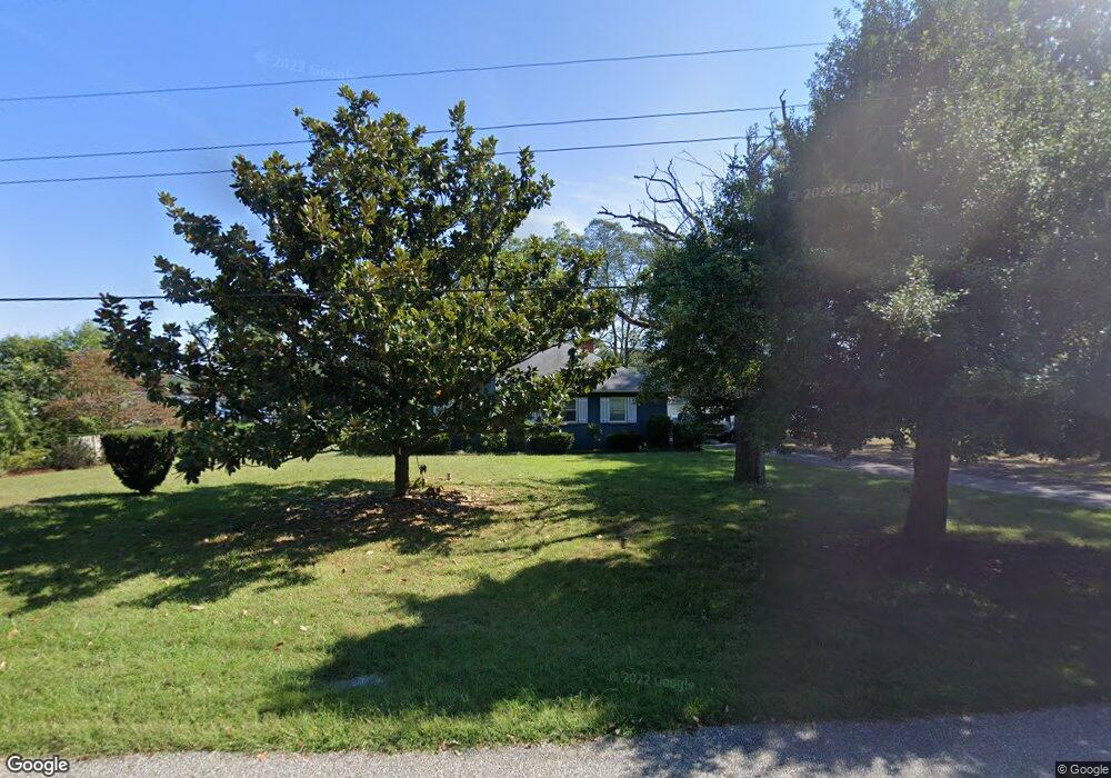
8171 Orchard Point Rd Pasadena, MD 21122
Estimated Value: $145,000 - $308,000
--
Bed
--
Bath
--
Sq Ft
0.3
Acres
About This Home
This home is located at 8171 Orchard Point Rd, Pasadena, MD 21122 and is currently estimated at $226,500. 8171 Orchard Point Rd is a home located in Anne Arundel County with nearby schools including Bodkin Elementary School, Chesapeake Bay Middle School, and Chesapeake High School.
Ownership History
Date
Name
Owned For
Owner Type
Purchase Details
Closed on
Sep 17, 2021
Sold by
Deters Robert Leslie and Estate Of Robert Leslie Deters
Bought by
Maxwell Michael and Maxwell Athena
Current Estimated Value
Home Financials for this Owner
Home Financials are based on the most recent Mortgage that was taken out on this home.
Original Mortgage
$548,000
Outstanding Balance
$461,459
Interest Rate
2.8%
Mortgage Type
New Conventional
Estimated Equity
-$234,959
Purchase Details
Closed on
Jul 18, 2016
Sold by
Smith Larry Ge and Smith Shirley
Bought by
Waldron Robert H and Scherr Jeanette Y
Purchase Details
Closed on
Oct 31, 2012
Sold by
Batzer Patricia A
Bought by
Smith Larry Ge and Smith Shirley J
Purchase Details
Closed on
Feb 10, 2012
Sold by
Gilroy William F R
Bought by
Batzer Patricia A and Deters Robert L
Create a Home Valuation Report for This Property
The Home Valuation Report is an in-depth analysis detailing your home's value as well as a comparison with similar homes in the area
Home Values in the Area
Average Home Value in this Area
Purchase History
| Date | Buyer | Sale Price | Title Company |
|---|---|---|---|
| Maxwell Michael | $700,000 | Maryland First Title Ltd | |
| Waldron Robert H | $14,250 | Brick House Title Llc | |
| Smith Larry Ge | -- | None Available | |
| Batzer Patricia A | -- | Northco Title Corporation | |
| Batzer Patricia A | $4,998 | None Available |
Source: Public Records
Mortgage History
| Date | Status | Borrower | Loan Amount |
|---|---|---|---|
| Open | Maxwell Michael | $548,000 |
Source: Public Records
Tax History Compared to Growth
Tax History
| Year | Tax Paid | Tax Assessment Tax Assessment Total Assessment is a certain percentage of the fair market value that is determined by local assessors to be the total taxable value of land and additions on the property. | Land | Improvement |
|---|---|---|---|---|
| 2025 | $761 | $69,500 | $69,500 | -- |
| 2024 | $761 | $69,500 | $69,500 | $0 |
| 2023 | $759 | $69,500 | $69,500 | $0 |
| 2022 | $726 | $69,500 | $69,500 | $0 |
| 2021 | $726 | $69,500 | $69,500 | $0 |
| 2020 | $683 | $65,333 | $0 | $0 |
| 2019 | $640 | $61,167 | $0 | $0 |
| 2018 | $578 | $57,000 | $57,000 | $0 |
| 2017 | $585 | $57,000 | $0 | $0 |
| 2016 | -- | $57,000 | $0 | $0 |
| 2015 | -- | $57,000 | $0 | $0 |
| 2014 | -- | $57,000 | $0 | $0 |
Source: Public Records
Map
Nearby Homes
- 1838 Chesapeake Rd
- 1780 Chesapeake Place
- 1592 Marco Dr
- 2001 Poplar Ridge Rd
- 1919 Surf Cir
- 8171 Bayside Dr
- 8198 Forest Glen Dr
- 8183 Forest Glen Dr
- 8138 Forest Glen Dr
- 7862 Bodkin View Dr
- 1533 Palm Ct
- 1930 Cedar Rd
- 7821 Bodkin View Dr
- 2274 Lake Dr
- 2260 Lake Dr
- LOT 1 Burgess Rd
- 1872 Cedar Rd
- 8014 Forest Glen Dr
- 0 Cornfield Rd Unit MDAA2094522
- 2142 Lake Dr
- 8169 Orchard Point Rd
- 8173 Orchard Point Rd
- 0 Orchard Point Rd
- 8167 Orchard Point Rd
- 8165 Orchard Point Rd
- 8163 Orchard Point Rd
- 8181 Orchard Point Rd
- 8161 Orchard Point Rd
- 8157 Orchard Point Rd
- 8187 Orchard Point Rd
- 8155 Orchard Point Rd
- 8191 Orchard Point Rd
- 8153 Orchard Point Rd
- 8156 Orchard Point Rd
- 8151 Orchard Point Rd
- 1976 Betty Ln
- 1980 Betty Ln
- 8149 Ventnor Rd
- 8150 Orchard Point Rd
- 8195 Orchard Point Rd