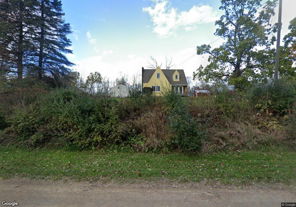
8178 W Rolston Rd Linden, MI 48451
Estimated Value: $203,000 - $464,000
3
Beds
2
Baths
1,500
Sq Ft
$213/Sq Ft
Est. Value
About This Home
This home is located at 8178 W Rolston Rd, Linden, MI 48451 and is currently estimated at $319,133, approximately $212 per square foot. 8178 W Rolston Rd is a home located in Genesee County with nearby schools including Central Elementary School, Linden Middle School, and Linden High School.
Ownership History
Date
Name
Owned For
Owner Type
Purchase Details
Closed on
Jun 13, 2019
Sold by
Grode Steven
Bought by
Grade Steven and Grode Kathleen
Current Estimated Value
Home Financials for this Owner
Home Financials are based on the most recent Mortgage that was taken out on this home.
Original Mortgage
$100,000
Outstanding Balance
$95,207
Interest Rate
9.75%
Mortgage Type
Adjustable Rate Mortgage/ARM
Estimated Equity
$223,926
Purchase Details
Closed on
Jul 7, 2011
Sold by
Estate Of Robert N Cutler
Bought by
Grode Steven
Create a Home Valuation Report for This Property
The Home Valuation Report is an in-depth analysis detailing your home's value as well as a comparison with similar homes in the area
Home Values in the Area
Average Home Value in this Area
Purchase History
| Date | Buyer | Sale Price | Title Company |
|---|---|---|---|
| Grade Steven | -- | Mason Burgess Title Agency | |
| Grode Steven | $65,000 | Fidelity Natl Title Ins Co |
Source: Public Records
Mortgage History
| Date | Status | Borrower | Loan Amount |
|---|---|---|---|
| Open | Grade Steven | $100,000 |
Source: Public Records
Tax History Compared to Growth
Tax History
| Year | Tax Paid | Tax Assessment Tax Assessment Total Assessment is a certain percentage of the fair market value that is determined by local assessors to be the total taxable value of land and additions on the property. | Land | Improvement |
|---|---|---|---|---|
| 2025 | $2,401 | $110,900 | $0 | $0 |
| 2024 | $943 | $106,100 | $0 | $0 |
| 2023 | $900 | $96,800 | $0 | $0 |
| 2022 | $2,219 | $82,100 | $0 | $0 |
| 2021 | $2,194 | $88,300 | $0 | $0 |
| 2020 | $799 | $85,300 | $0 | $0 |
| 2019 | $802 | $74,800 | $0 | $0 |
| 2018 | $2,055 | $64,300 | $0 | $0 |
| 2017 | $1,976 | $64,300 | $0 | $0 |
| 2016 | $1,998 | $63,700 | $0 | $0 |
| 2015 | $1,415 | $61,600 | $0 | $0 |
| 2014 | $743 | $59,300 | $0 | $0 |
| 2012 | -- | $45,100 | $45,100 | $0 |
Source: Public Records
Map
Nearby Homes
- 14269 Cole Rd
- 14155 Seymour Rd
- 13065 White Oaks Unit 17
- 9117 Lahring Rd
- 7103 Silver Lake Rd
- Parcel E Hogan Rd
- 8410 Pineview Lake Dr
- 8450 Pineview Lake Dr
- VL Pineview Lake Dr
- 9127 Pineview Lake
- 5290 Spring Meadows Way
- 1590 W Rolston Rd
- 15276 Outer Dr
- 15279 Outer Dr
- 1565 W Rolston Rd
- 16039 Knobhill Dr
- 12711 Ivy Ln
- 12715 Ivy Ln
- 12859 Ivy Ln
- 13192 Westwinds Dr
- 8122 W Rolston Rd
- 8240 W Rolston Rd
- V/L Cole Rd
- 14037 Cole Rd
- 8280 W Rolston Rd
- 8058 W Rolston Rd
- 14115 Cole Rd
- 14115 Cole Rd
- 8262 W Rolston Rd
- 8350 W Rolston Rd
- 14174 Cole Rd
- 8021 W Rolston Rd
- 8355 W Rolston Rd
- 14169 Cole Rd
- 0000 Cole Rd
- 0 Cole Rd Unit 218021198
- 0 Cole Rd Unit R219001993
- 0 Cole Rd Unit R219057708
- 0 Cole Rd Unit R219071341
- 0 Cole Rd Unit R219120566