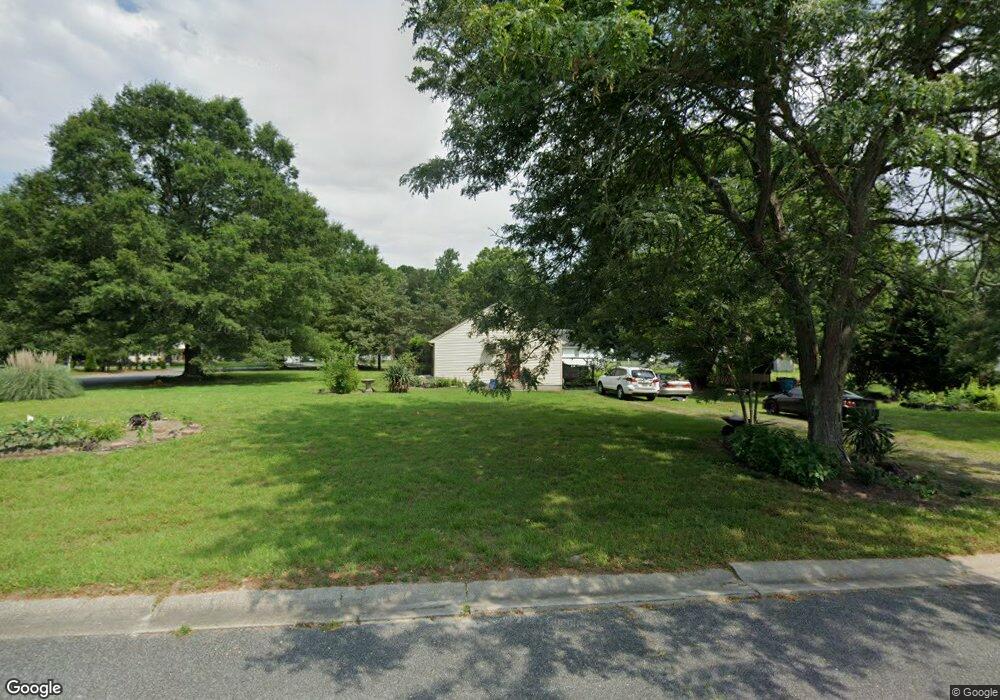
8179 Burnt Branch Dr Salisbury, MD 21801
North Salisbury NeighborhoodEstimated Value: $179,958 - $253,000
--
Bed
1
Bath
1,196
Sq Ft
$187/Sq Ft
Est. Value
About This Home
This home is located at 8179 Burnt Branch Dr, Salisbury, MD 21801 and is currently estimated at $223,740, approximately $187 per square foot. 8179 Burnt Branch Dr is a home located in Wicomico County with nearby schools including Westside Primary School, Westside Intermediate School, and Salisbury Middle School.
Ownership History
Date
Name
Owned For
Owner Type
Purchase Details
Closed on
Dec 8, 2000
Sold by
Kroon David
Bought by
Davis Denise L
Current Estimated Value
Purchase Details
Closed on
Aug 11, 1992
Sold by
Burnt Branch Development
Bought by
Kroon David
Home Financials for this Owner
Home Financials are based on the most recent Mortgage that was taken out on this home.
Original Mortgage
$66,750
Interest Rate
8.06%
Create a Home Valuation Report for This Property
The Home Valuation Report is an in-depth analysis detailing your home's value as well as a comparison with similar homes in the area
Home Values in the Area
Average Home Value in this Area
Purchase History
| Date | Buyer | Sale Price | Title Company |
|---|---|---|---|
| Davis Denise L | $79,500 | -- | |
| Kroon David | $65,900 | -- |
Source: Public Records
Mortgage History
| Date | Status | Borrower | Loan Amount |
|---|---|---|---|
| Previous Owner | Kroon David | $66,750 | |
| Closed | Davis Denise L | -- |
Source: Public Records
Tax History Compared to Growth
Tax History
| Year | Tax Paid | Tax Assessment Tax Assessment Total Assessment is a certain percentage of the fair market value that is determined by local assessors to be the total taxable value of land and additions on the property. | Land | Improvement |
|---|---|---|---|---|
| 2025 | $1,084 | $107,667 | $0 | $0 |
| 2024 | $1,084 | $100,933 | $0 | $0 |
| 2023 | $1,047 | $94,200 | $30,200 | $64,000 |
| 2022 | $1,064 | $93,000 | $0 | $0 |
| 2021 | $1,050 | $91,800 | $0 | $0 |
| 2020 | $1,050 | $90,600 | $30,200 | $60,400 |
| 2019 | $1,063 | $90,600 | $30,200 | $60,400 |
| 2018 | $1,075 | $90,600 | $30,200 | $60,400 |
| 2017 | $1,199 | $108,300 | $0 | $0 |
| 2016 | -- | $108,300 | $0 | $0 |
| 2015 | $1,259 | $108,300 | $0 | $0 |
| 2014 | $1,259 | $117,700 | $0 | $0 |
Source: Public Records
Map
Nearby Homes
- 29167 Doubletree Dr
- 28955 Log Cabin Rd
- 667 Cook Dr
- 0 Foskey Ln Unit MDWC2017454
- 0 Foskey Ln Unit MDWC112230
- 0 Log Cabin Rd
- 29463 Windy Hill Cir
- 1707 West Rd
- 1710 Wilson Ln Unit 1
- 414 Sarah Ln
- 1621 Waconia Dr
- 29592 Foskey Ln
- 0 Jersey Rd Unit MDWC2014880
- 0 Jersey Rd Unit MDWC2014878
- 0 Jersey Rd Unit MDWC2014870
- 0 Milford Twilley Dr Unit MDWC2013476
- 516 Purnell St
- 1618 West Rd
- 1606 Towson Ave
- 28600 Naylor Mill Rd
- 8195 Burnt Branch Dr
- 29156 Doubletree Dr
- 8159 Burnt Branch Dr
- 8170 Burnt Branch Dr
- 8162 Burnt Branch Dr
- 8180 Burnt Branch Dr
- 8154 Burnt Branch Dr
- 8209 Burnt Branch Dr
- 29164 Doubletree Dr
- 8188 Burnt Branch Dr
- 8145 Burnt Branch Dr
- 29161 Doubletree Dr
- 8198 Burnt Branch Dr
- 8144 Burnt Branch Dr
- 8206 Burnt Branch Dr
- 8215 Burnt Branch Dr
- 29178 Doubletree Dr
- 8212 Burnt Branch Dr
- 8136 Burnt Branch Dr
- 8221 Burnt Branch Dr