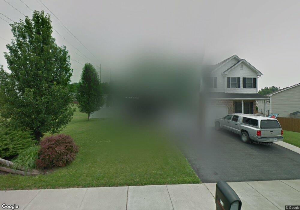
818 Atlas Rd Northampton, PA 18067
Estimated Value: $369,000 - $397,000
3
Beds
3
Baths
1,683
Sq Ft
$227/Sq Ft
Est. Value
About This Home
This home is located at 818 Atlas Rd, Northampton, PA 18067 and is currently estimated at $382,387, approximately $227 per square foot. 818 Atlas Rd is a home located in Northampton County with nearby schools including Colonel John Siegfried Elementary School, Northampton Area Middle School, and Northampton Area High School.
Ownership History
Date
Name
Owned For
Owner Type
Purchase Details
Closed on
Apr 12, 2011
Sold by
Corredera Leslie A and Bidden Leslie
Bought by
Corredera Leslie A
Current Estimated Value
Home Financials for this Owner
Home Financials are based on the most recent Mortgage that was taken out on this home.
Original Mortgage
$226,200
Outstanding Balance
$156,785
Interest Rate
4.9%
Mortgage Type
New Conventional
Estimated Equity
$225,602
Purchase Details
Closed on
Sep 7, 2007
Sold by
Dardas David J
Bought by
Bidden Leslie
Home Financials for this Owner
Home Financials are based on the most recent Mortgage that was taken out on this home.
Original Mortgage
$223,250
Interest Rate
6.7%
Mortgage Type
New Conventional
Purchase Details
Closed on
Jun 30, 2004
Sold by
Moffo George
Bought by
Dardas David J
Home Financials for this Owner
Home Financials are based on the most recent Mortgage that was taken out on this home.
Original Mortgage
$161,405
Interest Rate
6.25%
Mortgage Type
New Conventional
Create a Home Valuation Report for This Property
The Home Valuation Report is an in-depth analysis detailing your home's value as well as a comparison with similar homes in the area
Home Values in the Area
Average Home Value in this Area
Purchase History
| Date | Buyer | Sale Price | Title Company |
|---|---|---|---|
| Corredera Leslie A | -- | None Available | |
| Bidden Leslie | $235,000 | -- | |
| Dardas David J | $169,900 | -- |
Source: Public Records
Mortgage History
| Date | Status | Borrower | Loan Amount |
|---|---|---|---|
| Open | Corredera Leslie A | $226,200 | |
| Closed | Bidden Leslie | $223,250 | |
| Previous Owner | Dardas David J | $161,405 |
Source: Public Records
Tax History Compared to Growth
Tax History
| Year | Tax Paid | Tax Assessment Tax Assessment Total Assessment is a certain percentage of the fair market value that is determined by local assessors to be the total taxable value of land and additions on the property. | Land | Improvement |
|---|---|---|---|---|
| 2025 | $585 | $54,200 | $13,600 | $40,600 |
| 2024 | $3,876 | $54,200 | $13,600 | $40,600 |
| 2023 | $3,876 | $54,200 | $13,600 | $40,600 |
| 2022 | $3,876 | $54,200 | $13,600 | $40,600 |
| 2021 | $3,886 | $54,200 | $13,600 | $40,600 |
| 2020 | $3,886 | $54,200 | $13,600 | $40,600 |
| 2019 | $3,828 | $54,200 | $13,600 | $40,600 |
| 2018 | $3,771 | $54,200 | $13,600 | $40,600 |
| 2017 | $3,688 | $54,200 | $13,600 | $40,600 |
| 2016 | -- | $54,200 | $13,600 | $40,600 |
| 2015 | -- | $54,200 | $13,600 | $40,600 |
| 2014 | -- | $54,200 | $13,600 | $40,600 |
Source: Public Records
Map
Nearby Homes
- 1309 Adams St
- 2251 Howertown Rd
- 119 Gray Dr
- 426 E 12th St
- 624 E 8th St
- 403 Mckeever Ln
- 649 Walker Dr
- 642 Walker Dr
- 640 Walker Dr
- 1529 Dewey Ave
- 2057 Bally Dr
- 408 E 7th St
- 1339 Washington Ave
- 304 E 20th St
- 1809 Lincoln Ave
- 826 Lincoln Ave
- 723 Lincoln Ave
- 1510 Washington Ave
- 396 Anthony Dr
- 221 E 21st St