818 Brendle Trace Unit 37 Springfield, OH 45503
Estimated Value: $264,948 - $315,000
3
Beds
3
Baths
1,609
Sq Ft
$174/Sq Ft
Est. Value
About This Home
This home is located at 818 Brendle Trace Unit 37, Springfield, OH 45503 and is currently estimated at $279,737, approximately $173 per square foot. 818 Brendle Trace Unit 37 is a home located in Clark County with nearby schools including Northridge Elementary School, Kenton Ridge Middle & High School, and Emmanuel Christian Academy.
Ownership History
Date
Name
Owned For
Owner Type
Purchase Details
Closed on
May 1, 2000
Sold by
Myers Verna J
Bought by
Wood Judy B
Current Estimated Value
Purchase Details
Closed on
May 25, 1999
Sold by
Hoppes Builders & Development Co
Bought by
Myers Verna J
Home Financials for this Owner
Home Financials are based on the most recent Mortgage that was taken out on this home.
Original Mortgage
$125,750
Interest Rate
6.99%
Mortgage Type
Balloon
Create a Home Valuation Report for This Property
The Home Valuation Report is an in-depth analysis detailing your home's value as well as a comparison with similar homes in the area
Home Values in the Area
Average Home Value in this Area
Purchase History
| Date | Buyer | Sale Price | Title Company |
|---|---|---|---|
| Wood Judy B | $157,300 | -- | |
| Myers Verna J | $157 | -- |
Source: Public Records
Mortgage History
| Date | Status | Borrower | Loan Amount |
|---|---|---|---|
| Previous Owner | Myers Verna J | $125,750 | |
| Closed | Myers Verna J | $15,700 |
Source: Public Records
Tax History
| Year | Tax Paid | Tax Assessment Tax Assessment Total Assessment is a certain percentage of the fair market value that is determined by local assessors to be the total taxable value of land and additions on the property. | Land | Improvement |
|---|---|---|---|---|
| 2025 | $2,528 | $76,720 | $12,250 | $64,470 |
| 2024 | $2,473 | $66,330 | $10,500 | $55,830 |
| 2023 | $2,473 | $66,330 | $10,500 | $55,830 |
| 2022 | $2,500 | $66,330 | $10,500 | $55,830 |
| 2021 | $2,483 | $57,210 | $8,750 | $48,460 |
| 2020 | $2,485 | $57,210 | $8,750 | $48,460 |
| 2019 | $2,531 | $57,210 | $8,750 | $48,460 |
| 2018 | $2,420 | $53,180 | $8,750 | $44,430 |
| 2017 | $2,082 | $53,225 | $8,750 | $44,475 |
| 2016 | $2,068 | $53,225 | $8,750 | $44,475 |
| 2015 | $2,240 | $51,944 | $8,750 | $43,194 |
| 2014 | $1,466 | $51,944 | $8,750 | $43,194 |
| 2013 | $1,478 | $51,944 | $8,750 | $43,194 |
Source: Public Records
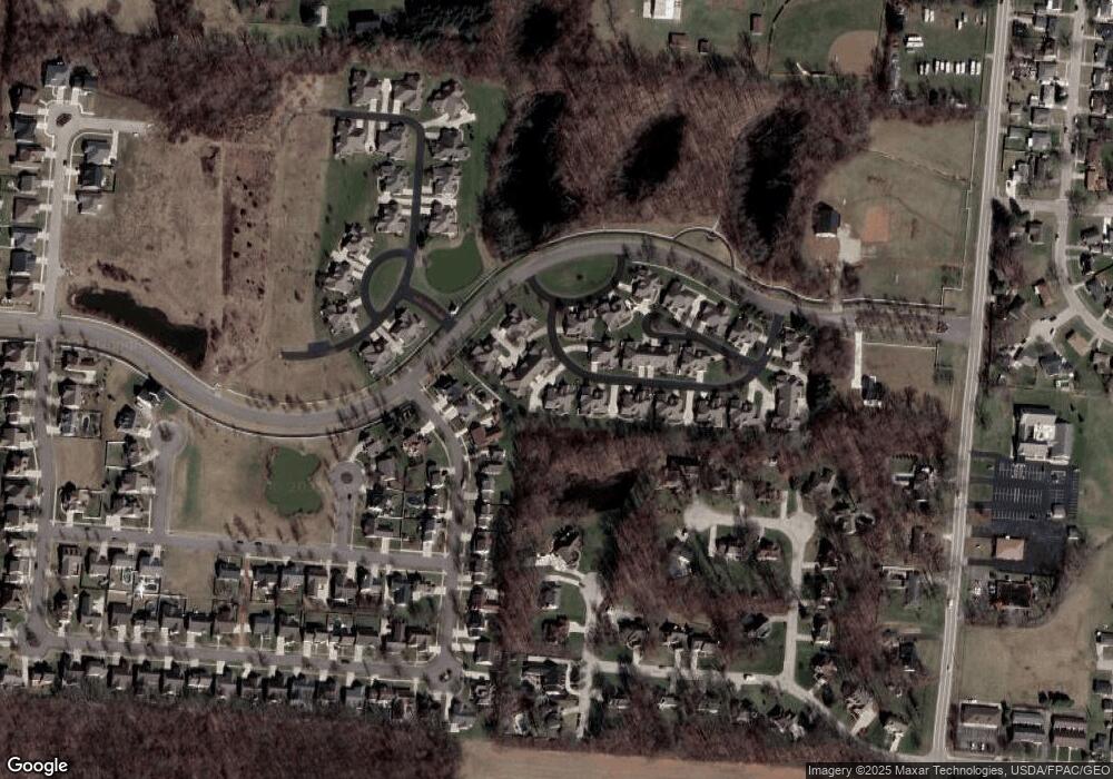
Map
Nearby Homes
- 862 Brendle Trace Unit 20
- 593 Hiser Ave
- 4741 Cullen Ave
- 4343 Burchill St
- 4802 Willowbrook Dr
- 1341 Student Ave
- 4256 Midfield St Unit 9
- 4446 Ridgewood Rd E Unit 3
- 0 Moorefield Rd
- 5033 Ridgewood Rd E
- 4577 Reno Ln Unit 2
- 1521 Erika Dr
- 1709 Thomas Dr
- 4652 Reno Ln Unit 15
- 1162 Kingsgate Rd
- 1201 Kingsgate Rd
- 5564 Ridgewood Rd W
- 1495 Victorian Way
- 5564 Ridgewood Rd E Unit 7
- 1500 Kingsgate Rd
- 826 Brendle Trace Unit 35
- 828 Brendle Trace Unit 36
- 830 Brendle Trace Unit 14
- 832 Brendle Trace Unit 13
- 824 Brendle Trace Unit 12
- 844 Brendle Trace
- 842 Brendle Trace
- 4532 Dowden St
- 806 Brendle Trace Unit 44
- 802 Brendle Trace Unit 46
- 822 Foley Cir Unit 11
- 838 Brendle Trace
- 840 Trent Close Unit 15
- 808 Brendle Trace Unit 43
- 804 Brendle Trace Unit 45
- 4536 Dowden St
- 4526 Dowden St
- 836 Trent Close
- 834 Foley Cir Unit 9
- 850 Brendle Trace Unit 18
Your Personal Tour Guide
Ask me questions while you tour the home.