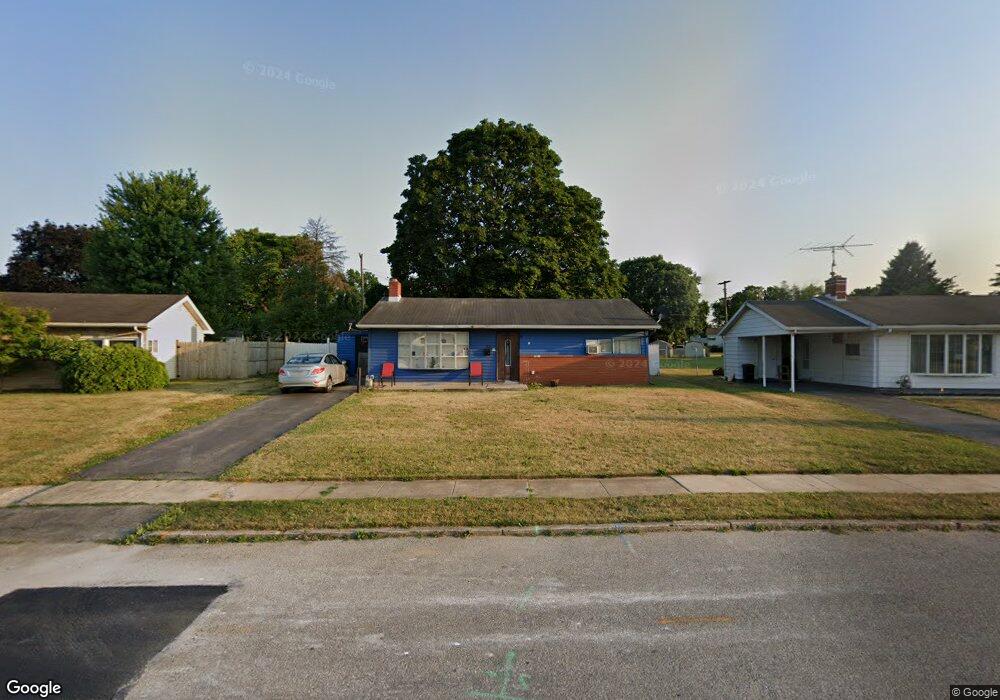
818 Fireside Rd York, PA 17404
Devers NeighborhoodEstimated Value: $164,000 - $189,980
3
Beds
1
Bath
950
Sq Ft
$188/Sq Ft
Est. Value
About This Home
This home is located at 818 Fireside Rd, York, PA 17404 and is currently estimated at $178,245, approximately $187 per square foot. 818 Fireside Rd is a home located in York County with nearby schools including Jacob L. Devers School, William Penn Senior High School, and York Academy Regional Charter Lower School.
Ownership History
Date
Name
Owned For
Owner Type
Purchase Details
Closed on
Jan 31, 2001
Sold by
Markley Cathy A and Markley Randy L
Bought by
Ramos Evelio Rivera
Current Estimated Value
Home Financials for this Owner
Home Financials are based on the most recent Mortgage that was taken out on this home.
Original Mortgage
$56,535
Interest Rate
7.13%
Purchase Details
Closed on
Nov 10, 1993
Bought by
Markley Cathy A and Markley Randy L
Create a Home Valuation Report for This Property
The Home Valuation Report is an in-depth analysis detailing your home's value as well as a comparison with similar homes in the area
Home Values in the Area
Average Home Value in this Area
Purchase History
| Date | Buyer | Sale Price | Title Company |
|---|---|---|---|
| Ramos Evelio Rivera | $57,000 | -- | |
| Markley Cathy A | -- | -- |
Source: Public Records
Mortgage History
| Date | Status | Borrower | Loan Amount |
|---|---|---|---|
| Closed | Ramos Evelio Rivera | $56,535 |
Source: Public Records
Tax History Compared to Growth
Tax History
| Year | Tax Paid | Tax Assessment Tax Assessment Total Assessment is a certain percentage of the fair market value that is determined by local assessors to be the total taxable value of land and additions on the property. | Land | Improvement |
|---|---|---|---|---|
| 2025 | $3,913 | $61,940 | $22,380 | $39,560 |
| 2024 | $3,846 | $61,940 | $22,380 | $39,560 |
| 2023 | $3,846 | $61,940 | $22,380 | $39,560 |
| 2022 | $3,823 | $61,940 | $22,380 | $39,560 |
| 2021 | $3,718 | $61,940 | $22,380 | $39,560 |
| 2020 | $3,630 | $61,940 | $22,380 | $39,560 |
| 2019 | $3,624 | $61,940 | $22,380 | $39,560 |
| 2018 | $3,624 | $61,940 | $22,380 | $39,560 |
| 2017 | $3,672 | $61,940 | $22,380 | $39,560 |
| 2016 | -- | $61,940 | $22,380 | $39,560 |
| 2015 | $3,631 | $61,940 | $22,380 | $39,560 |
| 2014 | $3,631 | $61,940 | $22,380 | $39,560 |
Source: Public Records
Map
Nearby Homes
- 856 Gunnison Rd
- 1116 Burgard St
- 857 859 Tioga St
- 820 Gunnison Rd
- 1416 Dartmouth Rd
- 806 Pacific Ave
- 1355 Ben Hogan Way
- 1327 Ben Hogan Way
- 619 Colony Dr Unit 32F
- 1618 Devers Rd Unit 7C
- 1750 Devers Rd Unit 2F
- 745 Oatman St
- 827 Roosevelt Ave
- 383 Maryland Ave
- 1360 Breezeview Dr
- 1185 Greenbriar Rd
- 600 N Hartley St Unit 204
- 469 Linden Ave Unit 13
- 436 Linden Ave
- 1118 N George St
- 822 Fireside Rd
- 826 Fireside Rd
- 810 Fireside Rd
- 852 Gunnison Rd
- 815 Fireside Rd
- 819 Fireside Rd
- 860 Gunnison Rd
- 811 Fireside Rd
- 806 Fireside Rd
- 823 Fireside Rd
- 1160 Loucks Place
- 864 Gunnison Rd
- 848 Gunnison Rd
- 1156 Loucks Place
- 1117 Burgard St
- 827 Fireside Rd
- 1121 Burgard St
- 1314 Dartmouth Rd
- 844 Gunnison Rd
- 1198 Priority Rd