818 Haw Branch Rd Beulaville, NC 28518
Estimated Value: $341,000 - $475,737
3
Beds
2
Baths
2,638
Sq Ft
$154/Sq Ft
Est. Value
About This Home
This home is located at 818 Haw Branch Rd, Beulaville, NC 28518 and is currently estimated at $405,934, approximately $153 per square foot. 818 Haw Branch Rd is a home located in Onslow County with nearby schools including Richlands Elementary School, Trexler Middle School, and Richlands High School.
Ownership History
Date
Name
Owned For
Owner Type
Purchase Details
Closed on
Apr 24, 2023
Sold by
Jones Stanley T and Jones Linda Cheryl
Bought by
Jones Stanley T and Batchelor Linda Cheryl
Current Estimated Value
Purchase Details
Closed on
Apr 30, 2007
Sold by
Carter William Guy and Carter Ginger Ann
Bought by
Jones Stanley T and Jones Shelby T
Home Financials for this Owner
Home Financials are based on the most recent Mortgage that was taken out on this home.
Original Mortgage
$201,000
Interest Rate
5.75%
Mortgage Type
Purchase Money Mortgage
Create a Home Valuation Report for This Property
The Home Valuation Report is an in-depth analysis detailing your home's value as well as a comparison with similar homes in the area
Home Values in the Area
Average Home Value in this Area
Purchase History
| Date | Buyer | Sale Price | Title Company |
|---|---|---|---|
| Jones Stanley T | -- | None Listed On Document | |
| Jones Stanley T | $281,000 | None Available |
Source: Public Records
Mortgage History
| Date | Status | Borrower | Loan Amount |
|---|---|---|---|
| Previous Owner | Jones Stanley T | $201,000 |
Source: Public Records
Tax History Compared to Growth
Tax History
| Year | Tax Paid | Tax Assessment Tax Assessment Total Assessment is a certain percentage of the fair market value that is determined by local assessors to be the total taxable value of land and additions on the property. | Land | Improvement |
|---|---|---|---|---|
| 2025 | $2,062 | $314,804 | $57,910 | $256,894 |
| 2024 | $2,062 | $314,804 | $57,910 | $256,894 |
| 2023 | $2,062 | $314,804 | $57,910 | $256,894 |
| 2022 | $2,062 | $314,804 | $57,910 | $256,894 |
| 2021 | $1,847 | $261,960 | $45,910 | $216,050 |
| 2020 | $1,847 | $261,960 | $45,910 | $216,050 |
| 2019 | $1,847 | $261,960 | $45,910 | $216,050 |
| 2018 | $1,847 | $261,960 | $45,910 | $216,050 |
| 2017 | $1,722 | $255,160 | $45,910 | $209,250 |
| 2016 | $1,722 | $255,160 | $0 | $0 |
| 2015 | $1,722 | $255,160 | $0 | $0 |
| 2014 | $1,722 | $255,160 | $0 | $0 |
Source: Public Records
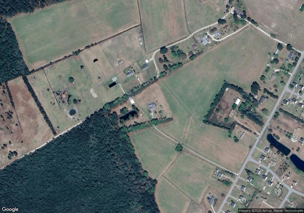
Map
Nearby Homes
- 795 Haw Branch Rd
- 101 Loyd Ln
- 129 Dallas Dr
- 133 Dallas Dr
- 136 Dallas Dr
- 138 Dallas Dr
- 140 Dallas Dr
- 225 Mewborn Dr
- 200 Classy Ct
- 605 Central Park Way
- 1070 Gregory Fork Rd
- 105 Conley Hills Dr
- 113 Woodwater Dr
- 1233 Haw Branch Rd
- 100 Buckhaven Dr
- 202 Quarry Trail
- 226 Beulaville Hwy
- 1441 Haw Branch Rd
- 580 Koonce Fork Rd
- 353 Potters Hill Rd