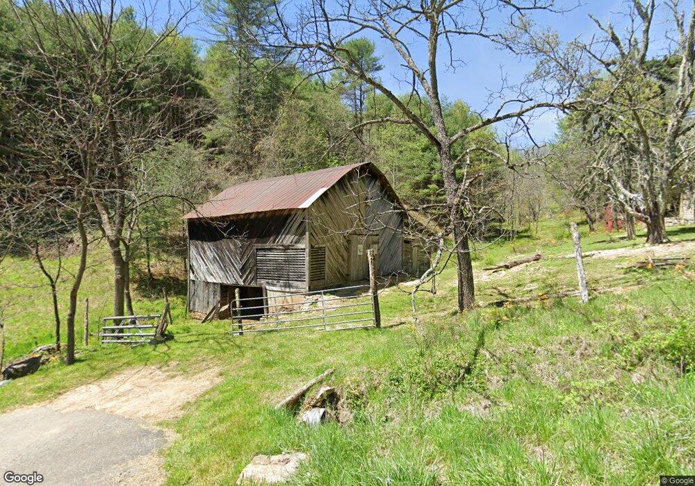
818 Jr Pate Rd Burnsville, NC 28714
Estimated Value: $202,000 - $463,000
2
Beds
1
Bath
1,624
Sq Ft
$215/Sq Ft
Est. Value
About This Home
This home is located at 818 Jr Pate Rd, Burnsville, NC 28714 and is currently estimated at $348,747, approximately $214 per square foot. 818 Jr Pate Rd is a home with nearby schools including Mountain Heritage High School.
Ownership History
Date
Name
Owned For
Owner Type
Purchase Details
Closed on
Aug 24, 2007
Sold by
Craig David Franklin and Craig Christy
Bought by
Holcombe Gary E and Holcombe Sharon Denise
Current Estimated Value
Home Financials for this Owner
Home Financials are based on the most recent Mortgage that was taken out on this home.
Original Mortgage
$100,000
Interest Rate
6.65%
Mortgage Type
Future Advance Clause Open End Mortgage
Create a Home Valuation Report for This Property
The Home Valuation Report is an in-depth analysis detailing your home's value as well as a comparison with similar homes in the area
Home Values in the Area
Average Home Value in this Area
Purchase History
| Date | Buyer | Sale Price | Title Company |
|---|---|---|---|
| Holcombe Gary E | $93,500 | None Available |
Source: Public Records
Mortgage History
| Date | Status | Borrower | Loan Amount |
|---|---|---|---|
| Closed | Holcombe Gary E | $100,000 |
Source: Public Records
Tax History Compared to Growth
Tax History
| Year | Tax Paid | Tax Assessment Tax Assessment Total Assessment is a certain percentage of the fair market value that is determined by local assessors to be the total taxable value of land and additions on the property. | Land | Improvement |
|---|---|---|---|---|
| 2025 | $1,856 | $331,400 | $210,700 | $120,700 |
| 2024 | $1,856 | $331,400 | $210,700 | $120,700 |
| 2023 | $1,017 | $158,970 | $102,500 | $56,470 |
| 2022 | $997 | $158,970 | $102,500 | $56,470 |
| 2021 | $1,017 | $158,970 | $102,500 | $56,470 |
| 2020 | $1,017 | $158,970 | $102,500 | $56,470 |
| 2019 | $1,017 | $158,970 | $102,500 | $56,470 |
| 2018 | $880 | $137,500 | $102,500 | $35,000 |
| 2017 | $880 | $137,500 | $102,500 | $35,000 |
| 2016 | $880 | $137,500 | $102,500 | $35,000 |
| 2015 | $855 | $158,290 | $126,800 | $31,490 |
| 2014 | $855 | $158,290 | $126,800 | $31,490 |
Source: Public Records
Map
Nearby Homes
- 707 Lickskillet Rd
- 99999 Windswept Dr
- 211 Evergreen Rd
- 18 Misty Meadows Rd
- 151 Swiss Loop
- 351 Swiss Loop
- 31 acres Scronce Creek Rd
- 239 Pleasant Valley Rd
- 423 Hardscrabble Rd
- 1201 Simms Fork Rd
- 237 Hickory Nut Ridge Rd Unit 10
- 1375 Swing Rd
- 10 Blossom Dr
- TBD US 19w Hwy
- 222 Fox Creek Rd
- 1675 Ponder Creek Rd
- 384 Doan Town Rd
- 456 Windy Gap Rd
- 351 Buck Springs Run
- 2311 Old Mountain Rd