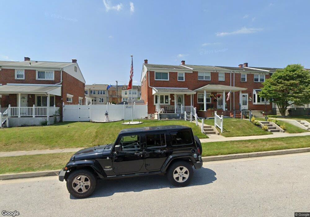
818 Lannerton Rd Middle River, MD 21220
Estimated Value: $184,870 - $248,000
--
Bed
1
Bath
1,008
Sq Ft
$205/Sq Ft
Est. Value
About This Home
This home is located at 818 Lannerton Rd, Middle River, MD 21220 and is currently estimated at $206,218, approximately $204 per square foot. 818 Lannerton Rd is a home located in Baltimore County with nearby schools including Glenmar Elementary School, Middle River Middle School, and Kenwood High.
Ownership History
Date
Name
Owned For
Owner Type
Purchase Details
Closed on
May 26, 2011
Sold by
Ground Lease Management Llc
Bought by
Young Samuel Louis and Young Rhonda Gail
Current Estimated Value
Home Financials for this Owner
Home Financials are based on the most recent Mortgage that was taken out on this home.
Original Mortgage
$73,000
Outstanding Balance
$5,042
Interest Rate
4.85%
Mortgage Type
New Conventional
Estimated Equity
$201,176
Create a Home Valuation Report for This Property
The Home Valuation Report is an in-depth analysis detailing your home's value as well as a comparison with similar homes in the area
Home Values in the Area
Average Home Value in this Area
Purchase History
| Date | Buyer | Sale Price | Title Company |
|---|---|---|---|
| Young Samuel Louis | $200,000 | At Your Door Title Service |
Source: Public Records
Mortgage History
| Date | Status | Borrower | Loan Amount |
|---|---|---|---|
| Open | Young Samuel Louis | $73,000 |
Source: Public Records
Tax History Compared to Growth
Tax History
| Year | Tax Paid | Tax Assessment Tax Assessment Total Assessment is a certain percentage of the fair market value that is determined by local assessors to be the total taxable value of land and additions on the property. | Land | Improvement |
|---|---|---|---|---|
| 2025 | $2,089 | $145,500 | -- | -- |
| 2024 | $2,089 | $130,700 | $0 | $0 |
| 2023 | $988 | $115,900 | $42,000 | $73,900 |
| 2022 | $1,950 | $112,733 | $0 | $0 |
| 2021 | $1,872 | $109,567 | $0 | $0 |
| 2020 | $1,872 | $106,400 | $42,000 | $64,400 |
| 2019 | $1,721 | $103,700 | $0 | $0 |
| 2018 | $1,709 | $101,000 | $0 | $0 |
| 2017 | $1,595 | $98,300 | $0 | $0 |
| 2016 | $773 | $98,300 | $0 | $0 |
| 2015 | $773 | $98,300 | $0 | $0 |
| 2014 | $773 | $104,400 | $0 | $0 |
Source: Public Records
Map
Nearby Homes
- 9755 Matzon Rd
- 9899 Decatur Rd
- 9903 Decatur Rd
- 9831 Biggs Rd
- 826 Lowe Rd
- 815 Lowe Rd
- 719 Macdill Rd
- 9703 Biggs Rd
- 561 Compass Rd E
- 9422 Windpine Rd
- 1806 Watermark Way
- 547 Compass Rd E
- 54 Chelmsford Ct
- 9864 Greenbriar Way
- 71 Chelmsford Ct
- 59 Transverse Ave
- 0 Bird River Rd Unit MDBC2136640
- 57 Transverse Ave
- 508 Gloucester Ct
- 0 Wampler Rd Unit MDBC2107084
- 820 Lannerton Rd
- 816 Lannerton Rd
- 822 Lannerton Rd
- 814 Lannerton Rd
- 824 Lannerton Rd
- 812 Lannerton Rd
- 826 Lannerton Rd
- 810 Lannerton Rd
- 828 Lannerton Rd
- 808 Lannerton Rd
- 9808 Decatur Rd
- 9806 Decatur Rd
- 9810 Decatur Rd
- 830 Lannerton Rd
- 9804 Decatur Rd
- 9812 Decatur Rd
- 9802 Decatur Rd
- 806 Lannerton Rd
- 9814 Decatur Rd